Estimated Value: $185,000 - $214,000
2
Beds
2
Baths
1,232
Sq Ft
$161/Sq Ft
Est. Value
About This Home
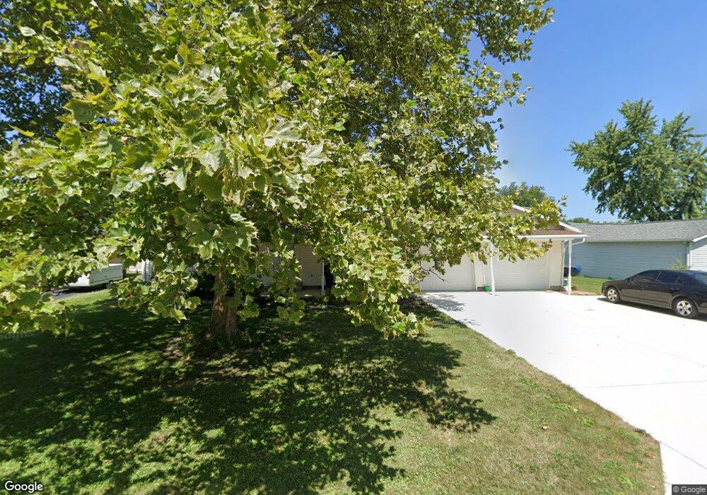
This home is located at 616 Anderson, Cairo, OH 45801 and is currently estimated at $198,330, approximately $160 per square foot. 616 Anderson is a home located in Allen County with nearby schools including Bath Elementary School, Bath Middle School, and Bath High School.
Ownership History
Date
Name
Owned For
Owner Type
Purchase Details
Closed on
Nov 24, 2021
Sold by
Reese Michelle and Smith Michelle
Bought by
Craig Marshall
Current Estimated Value
Purchase Details
Closed on
Jan 24, 2014
Sold by
Clem Brandon R and Clem Tiffany R
Bought by
Smith Michelle and Griffith Michelle
Home Financials for this Owner
Home Financials are based on the most recent Mortgage that was taken out on this home.
Original Mortgage
$76,587
Interest Rate
4.12%
Mortgage Type
FHA
Purchase Details
Closed on
Jul 6, 2009
Sold by
Miller Jerry L and Miller Linda
Bought by
Clem Brandon R and Wyant Tiffany R
Home Financials for this Owner
Home Financials are based on the most recent Mortgage that was taken out on this home.
Original Mortgage
$52,000
Interest Rate
4.94%
Mortgage Type
Purchase Money Mortgage
Purchase Details
Closed on
Apr 1, 1991
Bought by
Hurley Minnie M
Create a Home Valuation Report for This Property
The Home Valuation Report is an in-depth analysis detailing your home's value as well as a comparison with similar homes in the area
Home Values in the Area
Average Home Value in this Area
Purchase History
| Date | Buyer | Sale Price | Title Company |
|---|---|---|---|
| Craig Marshall | $152,500 | None Available | |
| Smith Michelle | $78,000 | None Available | |
| Clem Brandon R | $65,000 | Attorney | |
| Hurley Minnie M | -- | -- |
Source: Public Records
Mortgage History
| Date | Status | Borrower | Loan Amount |
|---|---|---|---|
| Previous Owner | Smith Michelle | $76,587 | |
| Previous Owner | Clem Brandon R | $52,000 |
Source: Public Records
Tax History Compared to Growth
Tax History
| Year | Tax Paid | Tax Assessment Tax Assessment Total Assessment is a certain percentage of the fair market value that is determined by local assessors to be the total taxable value of land and additions on the property. | Land | Improvement |
|---|---|---|---|---|
| 2024 | $2,083 | $50,370 | $6,900 | $43,470 |
| 2023 | $1,649 | $35,740 | $4,900 | $30,840 |
| 2022 | $1,641 | $35,210 | $4,900 | $30,310 |
| 2021 | $1,693 | $35,210 | $4,900 | $30,310 |
| 2020 | $1,547 | $29,370 | $4,730 | $24,640 |
| 2019 | $1,547 | $29,370 | $4,730 | $24,640 |
| 2018 | $1,453 | $29,370 | $4,730 | $24,640 |
| 2017 | $1,398 | $26,400 | $4,730 | $21,670 |
| 2016 | $1,346 | $26,400 | $4,730 | $21,670 |
| 2015 | $1,385 | $26,400 | $4,730 | $21,670 |
| 2014 | $1,385 | $26,850 | $4,450 | $22,400 |
| 2013 | $1,386 | $26,850 | $4,450 | $22,400 |
Source: Public Records
Map
Nearby Homes
- 300 Sweaney Ave
- 6585 Ottawa Rd
- 309 Wall St
- 201 Wall St
- 220 Parklane Dr
- 3456 Shearin Ave
- 3798 Kissing Hollow Dr
- 3270 Bonnieview Dr
- 4080 Brookshore Dr
- 4050 Brookshore Dr
- 1679 E Bluelick Rd
- 0 Fraunfelter Unit 307817
- 0 N Eastown Rd Unit 1034495
- 108 Highland Lakes Dr
- 2525 W Lincoln Hwy
- 1129 W Bluelick Rd
- 2467 Greendale St
- 2370 N McDonel St
- 168 Lyre Bird Ln
- 2718 Carolyn Dr