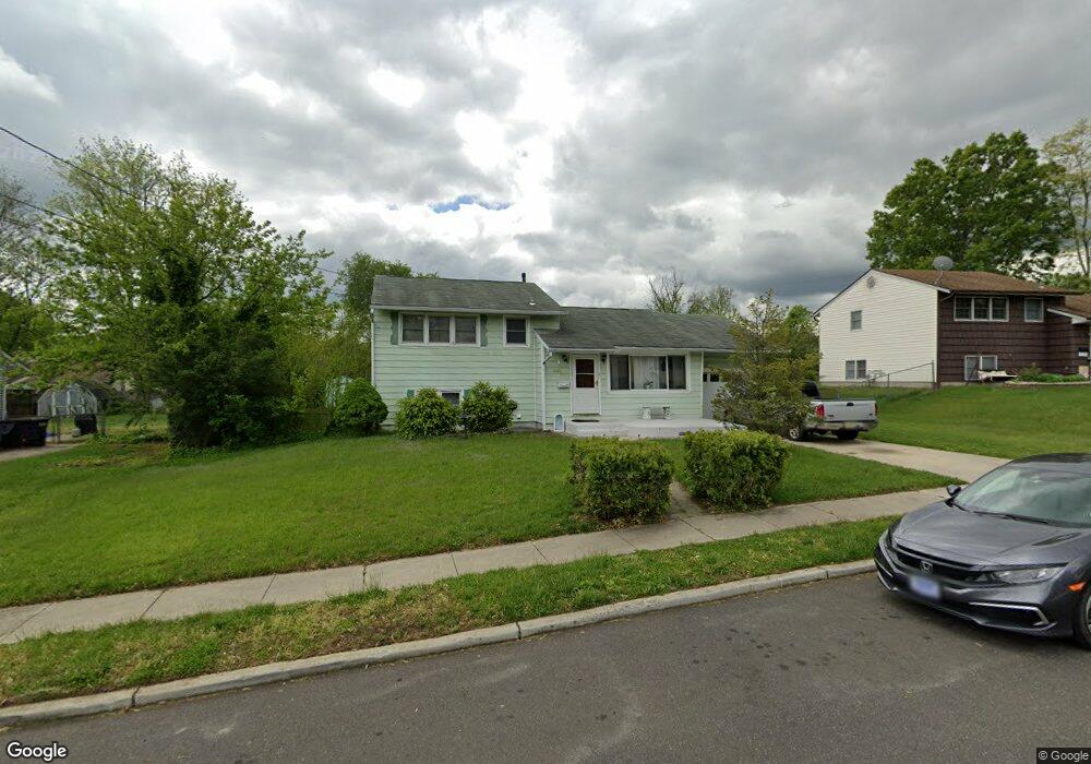
616 Colgate Ln Wenonah, NJ 08090
Deptford Township NeighborhoodEstimated Value: $335,773 - $348,000
--
Bed
--
Bath
1,397
Sq Ft
$244/Sq Ft
Est. Value
About This Home
This home is located at 616 Colgate Ln, Wenonah, NJ 08090 and is currently estimated at $340,943, approximately $244 per square foot. 616 Colgate Ln is a home located in Gloucester County with nearby schools including Deptford Township High School and St Margaret Regional School.
Ownership History
Date
Name
Owned For
Owner Type
Purchase Details
Closed on
Apr 17, 2008
Sold by
Cosgrove James and Cosgrove Michele
Bought by
Ramos Angel and Ramos Irma
Current Estimated Value
Purchase Details
Closed on
Aug 26, 1998
Sold by
Beatty Leonard T and Beatty Kathleen M
Bought by
Cosgrove James P and Cosgrove Michele M
Home Financials for this Owner
Home Financials are based on the most recent Mortgage that was taken out on this home.
Original Mortgage
$86,400
Interest Rate
6.9%
Create a Home Valuation Report for This Property
The Home Valuation Report is an in-depth analysis detailing your home's value as well as a comparison with similar homes in the area
Home Values in the Area
Average Home Value in this Area
Purchase History
| Date | Buyer | Sale Price | Title Company |
|---|---|---|---|
| Ramos Angel | $154,000 | Group 21 Title Agency | |
| Cosgrove James P | $108,000 | Commonwealth Land Title |
Source: Public Records
Mortgage History
| Date | Status | Borrower | Loan Amount |
|---|---|---|---|
| Previous Owner | Cosgrove James P | $86,400 |
Source: Public Records
Tax History Compared to Growth
Tax History
| Year | Tax Paid | Tax Assessment Tax Assessment Total Assessment is a certain percentage of the fair market value that is determined by local assessors to be the total taxable value of land and additions on the property. | Land | Improvement |
|---|---|---|---|---|
| 2025 | $6,328 | $176,500 | $41,100 | $135,400 |
| 2024 | $6,125 | $176,500 | $41,100 | $135,400 |
| 2023 | $6,125 | $176,500 | $41,100 | $135,400 |
| 2022 | $6,080 | $176,500 | $41,100 | $135,400 |
| 2021 | $5,994 | $176,500 | $41,100 | $135,400 |
| 2020 | $5,925 | $176,500 | $41,100 | $135,400 |
| 2019 | $5,812 | $176,500 | $41,100 | $135,400 |
| 2018 | $5,682 | $176,500 | $41,100 | $135,400 |
| 2017 | $5,530 | $176,500 | $41,100 | $135,400 |
| 2016 | $5,417 | $176,500 | $41,100 | $135,400 |
| 2015 | $5,249 | $176,500 | $41,100 | $135,400 |
| 2014 | $5,113 | $176,500 | $41,100 | $135,400 |
Source: Public Records
Map
Nearby Homes
- 629 Vassar Rd
- 136 Vanderbilt Ave
- 7 Manchester Ct
- 916 Georgetown Rd
- 114 Buddy Powell Ln
- 417 Auburn St
- 100 Buddy Powell Ln
- 525 Westminster Rd
- 505 University Blvd
- 213 Barclay Ct
- 807 Saint Regis Ct
- 418 Westminster Rd
- 477 Bucknell Ave
- 827 Saint Regis Ct
- 411 Durham Ct Unit 411
- 15 Ash Ave
- 124 Linden Ave
- 463 Durham Ct
- 313 Ogden Station Rd
- 315 Ogden Station Rd
- 614 Colgate Ln
- 618 Colgate Ln
- 621 Cornell Ave
- 623 Cornell Ave
- 612 Colgate Ln
- 625 Cornell Ave
- 619 Cornell Ave
- 615 Colgate Ln
- 624 Vassar Rd
- 617 Colgate Ln
- 613 Colgate Ln
- 626 Vassar Rd
- 610 Colgate Ln
- 617 Cornell Ave
- 611 Colgate Ln
- 619 Colgate Ln
- 627 Cornell Ave
- 628 Vassar Rd
- 626 Cornell Ave
- 620 Vassar Rd