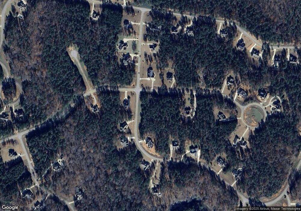
616 Forest Pointe Dr Unit L35 Forsyth, GA 31029
Estimated Value: $86,000 - $192,000
--
Bed
--
Bath
--
Sq Ft
1.2
Acres
About This Home
This home is located at 616 Forest Pointe Dr Unit L35, Forsyth, GA 31029 and is currently estimated at $151,667. 616 Forest Pointe Dr Unit L35 is a home located in Monroe County with nearby schools including Samuel E. Hubbard Elementary School and Mary Persons High School.
Ownership History
Date
Name
Owned For
Owner Type
Purchase Details
Closed on
Dec 14, 2022
Sold by
Craftsman Ii Llc
Bought by
Diamond Properties At River Forest Llc
Current Estimated Value
Purchase Details
Closed on
Mar 8, 2019
Sold by
Rref Ii Pb Ga River Llc
Bought by
Craftsman Ii Llc
Purchase Details
Closed on
Feb 13, 2015
Sold by
The Farmers Bank
Bought by
Rref Ii Pb Ga River Llc
Purchase Details
Closed on
Jul 27, 2013
Sold by
River Forest Inc
Bought by
The Farmers Bank
Purchase Details
Closed on
Dec 13, 2005
Sold by
Piedmont Circle Llc
Bought by
River Forest Inc
Create a Home Valuation Report for This Property
The Home Valuation Report is an in-depth analysis detailing your home's value as well as a comparison with similar homes in the area
Home Values in the Area
Average Home Value in this Area
Purchase History
| Date | Buyer | Sale Price | Title Company |
|---|---|---|---|
| Diamond Properties At River Forest Llc | $240,000 | -- | |
| Craftsman Ii Llc | $94,000 | -- | |
| Rref Ii Pb Ga River Llc | $21,182 | -- | |
| The Farmers Bank | -- | -- | |
| River Forest Inc | $1,025,144 | -- |
Source: Public Records
Tax History Compared to Growth
Tax History
| Year | Tax Paid | Tax Assessment Tax Assessment Total Assessment is a certain percentage of the fair market value that is determined by local assessors to be the total taxable value of land and additions on the property. | Land | Improvement |
|---|---|---|---|---|
| 2024 | $473 | $16,800 | $16,800 | $0 |
| 2023 | $474 | $16,800 | $16,800 | $0 |
| 2022 | $455 | $16,800 | $16,800 | $0 |
| 2021 | $323 | $11,520 | $11,520 | $0 |
| 2020 | $135 | $11,520 | $11,520 | $0 |
| 2019 | $243 | $8,400 | $8,400 | $0 |
| 2018 | $209 | $7,200 | $7,200 | $0 |
| 2017 | $174 | $6,000 | $6,000 | $0 |
| 2016 | $19 | $4,320 | $4,320 | $0 |
| 2015 | $113 | $4,320 | $4,320 | $0 |
| 2014 | $109 | $4,320 | $4,320 | $0 |
Source: Public Records
Map
Nearby Homes
- 108/106 Crescent Dr
- 212 Crescent Dr
- 206 Crescent Dr
- 214 Crescent Dr
- 106 Crescent Dr
- 111 Piedmont Cir
- 615 Forest Pointe Dr
- 217 Crescent Dr
- 104 Piedmont Cir
- 106 Forest Place
- 603 Crescent Dr
- 200 Crescent Dr
- 130 Heights Ave
- 120 Heights Ave
- 518 River Overlook
- 601 River Overlook
- 415 Forest Pointe Dr
- 2754 Boxankle Rd
- 105 Birch Cir
- 507 River Overlook
- 110 Crescent Dr
- 106/108 Crescent Dr
- 507 Crescent Dr Unit M 60
- 700 Crescent Dr Unit M8
- 705 Crescent Dr
- 703 Crescent Dr Unit 43
- 405 Crescent Dr
- 316 Crescent Dr
- 318 Crescent Dr
- 211 Crescent Dr
- 213 Crescent Dr
- 700 Crescent Dr Unit M-8-R
- 309 Crescent Dr Unit M81
- 403 Crescent Dr Unit M68
- 405 Crescent Dr Unit M67
- 316 Crescent Dr Unit M30
- 318 Crescent Dr Unit M29
- 302 Crescent Dr Unit M37
- 400 Crescent Dr Unit M26
- 402 Crescent Dr Unit M25
