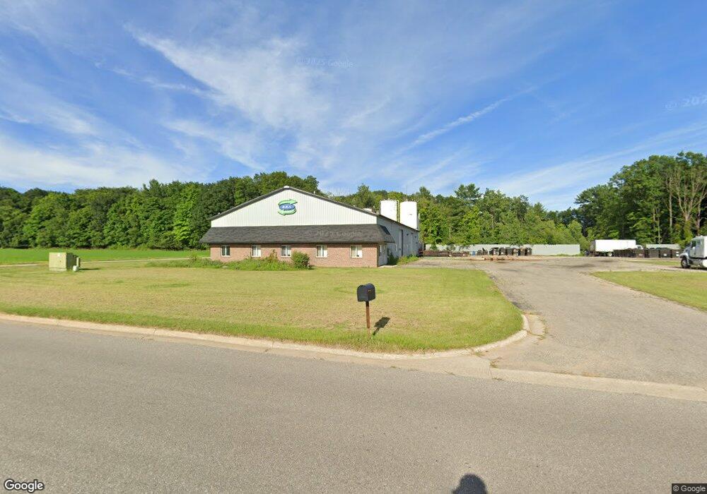
616 Industrial Dr Fremont, MI 49412
Estimated Value: $878,699
--
Bed
--
Bath
7,200
Sq Ft
$122/Sq Ft
Est. Value
About This Home
This home is located at 616 Industrial Dr, Fremont, MI 49412 and is currently estimated at $878,699, approximately $122 per square foot. 616 Industrial Dr is a home located in Newaygo County with nearby schools including Pathfinder Elementary School, Daisy Brook Elementary School, and Fremont Middle School.
Ownership History
Date
Name
Owned For
Owner Type
Purchase Details
Closed on
Jul 30, 2008
Sold by
Hartman Trust Carl Jr
Bought by
Restaurant Recycling Services Llc
Current Estimated Value
Purchase Details
Closed on
Aug 29, 2007
Sold by
Baumgartner Kathleen S
Bought by
Hartman Trust Carl F Jr
Purchase Details
Closed on
May 22, 2003
Sold by
Osterink William Family Revo
Bought by
Baumgartner Kathleen
Purchase Details
Closed on
May 26, 2000
Sold by
City Of Fremont
Bought by
Osterink William J Family Trust
Create a Home Valuation Report for This Property
The Home Valuation Report is an in-depth analysis detailing your home's value as well as a comparison with similar homes in the area
Home Values in the Area
Average Home Value in this Area
Purchase History
| Date | Buyer | Sale Price | Title Company |
|---|---|---|---|
| Restaurant Recycling Services Llc | $265,000 | -- | |
| Hartman Trust Carl F Jr | $210,000 | -- | |
| Baumgartner Kathleen | $250,000 | -- | |
| Osterink William J Family Trust | $27,600 | -- |
Source: Public Records
Tax History Compared to Growth
Tax History
| Year | Tax Paid | Tax Assessment Tax Assessment Total Assessment is a certain percentage of the fair market value that is determined by local assessors to be the total taxable value of land and additions on the property. | Land | Improvement |
|---|---|---|---|---|
| 2025 | $9,289 | $151,000 | $0 | $0 |
| 2024 | $78 | $146,400 | $0 | $0 |
| 2023 | $7,402 | $141,500 | $0 | $0 |
| 2022 | $8,511 | $129,400 | $0 | $0 |
| 2021 | $8,385 | $127,300 | $0 | $0 |
| 2020 | $8,239 | $128,300 | $0 | $0 |
| 2019 | $7,938 | $122,400 | $0 | $0 |
| 2018 | $7,932 | $122,500 | $0 | $0 |
| 2017 | $7,776 | $119,800 | $0 | $0 |
| 2016 | $7,426 | $119,900 | $0 | $0 |
| 2015 | -- | $120,900 | $0 | $0 |
| 2014 | -- | $118,100 | $0 | $0 |
Source: Public Records
Map
Nearby Homes
- 4872 Lester Ave
- 1302 Country View Ln
- 1310 Windridge Ln
- 1303 Windridge Ln
- 233 Westwood Ave
- 887 Rex St
- 883 Rex St
- 13 Fremont Ave
- 5886 S Green Ave
- 313 N Linden Ave
- 519 W Oak St
- 385 Pinery Ln
- 387 Pinery Ln
- 501 S Sullivan Ave
- 518 S Sullivan Ave
- 5957 S Landing Ln
- 215 S Division Ave
- 109 E Pine St
- 116 E Sheridan St
- 305 E Pine St
- 1531 Locust St
- 701 Industrial Dr
- 1715 Locust St
- 1739 Locust St
- 18 Locust St
- 0 W Lake Dr
- 12011207 W Lake Dr
- 6910 W Lake Dr
- 6884 W Lake Dr
- 5216 S Green Ave
- 16 Industrial Dr
- 5 Industrial Dr
- 6895 Western Ave
- 6940 W Lake Dr
- 6888 Western Ave
- 0 S Green Ave
- 6840 W Chamberlain Ave
- 6884 W Chamberlain Ave
- 6900 W Chamberlain Ave
- 6886 W Chamberlain Ave