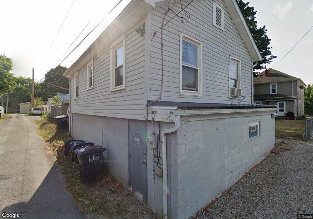
616 Isabell Ct Lancaster, OH 43130
Estimated Value: $196,000 - $218,624
4
Beds
3
Baths
2,437
Sq Ft
$84/Sq Ft
Est. Value
About This Home
This home is located at 616 Isabell Ct, Lancaster, OH 43130 and is currently estimated at $205,906, approximately $84 per square foot. 616 Isabell Ct is a home located in Fairfield County with nearby schools including Thomas Ewing Junior High School, Lancaster High School, and St Mary Elementary School.
Ownership History
Date
Name
Owned For
Owner Type
Purchase Details
Closed on
May 5, 2015
Sold by
Donahue Thomas W and Donahue Thomas
Bought by
Shariten Rentals Llc
Current Estimated Value
Purchase Details
Closed on
Nov 26, 2001
Sold by
Davis Kenneth R
Bought by
Donahue Thomas W
Home Financials for this Owner
Home Financials are based on the most recent Mortgage that was taken out on this home.
Original Mortgage
$67,000
Interest Rate
6.62%
Mortgage Type
New Conventional
Create a Home Valuation Report for This Property
The Home Valuation Report is an in-depth analysis detailing your home's value as well as a comparison with similar homes in the area
Home Values in the Area
Average Home Value in this Area
Purchase History
| Date | Buyer | Sale Price | Title Company |
|---|---|---|---|
| Shariten Rentals Llc | -- | Attorney | |
| Donahue Thomas W | $84,900 | -- |
Source: Public Records
Mortgage History
| Date | Status | Borrower | Loan Amount |
|---|---|---|---|
| Previous Owner | Donahue Thomas W | $67,000 |
Source: Public Records
Tax History Compared to Growth
Tax History
| Year | Tax Paid | Tax Assessment Tax Assessment Total Assessment is a certain percentage of the fair market value that is determined by local assessors to be the total taxable value of land and additions on the property. | Land | Improvement |
|---|---|---|---|---|
| 2024 | $5,400 | $60,070 | $8,460 | $51,610 |
| 2023 | $2,232 | $60,070 | $8,460 | $51,610 |
| 2022 | $2,245 | $60,070 | $8,460 | $51,610 |
| 2021 | $1,903 | $47,730 | $8,460 | $39,270 |
| 2020 | $1,738 | $47,730 | $8,460 | $39,270 |
| 2019 | $1,738 | $47,730 | $8,460 | $39,270 |
| 2018 | $1,522 | $40,780 | $8,460 | $32,320 |
| 2017 | $1,523 | $39,690 | $8,140 | $31,550 |
| 2016 | $1,484 | $39,690 | $8,140 | $31,550 |
| 2015 | $1,476 | $38,290 | $8,140 | $30,150 |
| 2014 | $1,407 | $38,290 | $8,140 | $30,150 |
| 2013 | $1,407 | $38,290 | $8,140 | $30,150 |
Source: Public Records
Map
Nearby Homes
- 608 E Mulberry St
- 629 E Wheeling St
- 534 E Wheeling St
- 545 E Main St
- 571 E Chestnut St
- 538 E 6th Ave
- 404 E 6th Ave
- 846 E Main St
- 700 E Allen St
- 521 E Allen St
- 441 E Locust St
- 632 N Eastwood Ave
- 311 E Allen St
- 800 Rutter Ave
- 154 E Main St
- 708 N High St
- 187 E Allen St
- 230 Lake St
- 627 Harding Ave
- 115 E Wheeling St
- 607 Isabelle Ct
- 607 Isabell Ct
- 605 IS Isabelle Ct
- 605 Isabell Ct
- 611 Isabell Ct
- 609 Isabell Ct
- 609 Isabelle Ct
- 603 Isabell Ct
- 304 N Mount Pleasant Ave
- 610 King St
- 616 King St
- 314 N Mount Pleasant Ave
- 619 E Mulberry St
- 614 King St
- 622 King St
- 316 N Mount Pleasant Ave
- 621 E Mulberry St
- 605 E Mulberry St
- 606 King St
- 632 King St