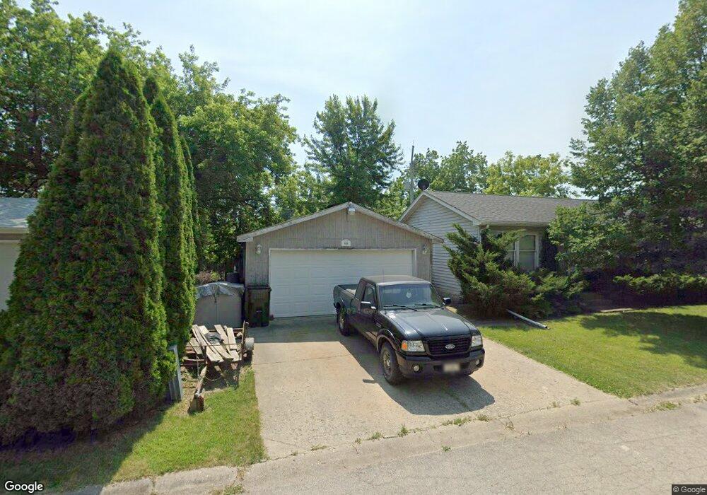
616 Kakos Ct Zion, IL 60099
West Zion NeighborhoodEstimated Value: $215,778 - $275,000
3
Beds
2
Baths
1,008
Sq Ft
$246/Sq Ft
Est. Value
About This Home
This home is located at 616 Kakos Ct, Zion, IL 60099 and is currently estimated at $247,695, approximately $245 per square foot. 616 Kakos Ct is a home located in Lake County with nearby schools including Newport Elementary School, Beach Park Middle School, and Zion-Benton Township High School.
Ownership History
Date
Name
Owned For
Owner Type
Purchase Details
Closed on
Oct 9, 1997
Sold by
Diggs Daniel R and Diggs Barbara K
Bought by
Martinez Nickolas J
Current Estimated Value
Home Financials for this Owner
Home Financials are based on the most recent Mortgage that was taken out on this home.
Original Mortgage
$107,362
Outstanding Balance
$17,340
Interest Rate
7.51%
Mortgage Type
FHA
Estimated Equity
$230,355
Create a Home Valuation Report for This Property
The Home Valuation Report is an in-depth analysis detailing your home's value as well as a comparison with similar homes in the area
Home Values in the Area
Average Home Value in this Area
Purchase History
| Date | Buyer | Sale Price | Title Company |
|---|---|---|---|
| Martinez Nickolas J | $78,000 | -- |
Source: Public Records
Mortgage History
| Date | Status | Borrower | Loan Amount |
|---|---|---|---|
| Open | Martinez Nickolas J | $107,362 |
Source: Public Records
Tax History Compared to Growth
Tax History
| Year | Tax Paid | Tax Assessment Tax Assessment Total Assessment is a certain percentage of the fair market value that is determined by local assessors to be the total taxable value of land and additions on the property. | Land | Improvement |
|---|---|---|---|---|
| 2024 | $4,595 | $48,941 | $5,903 | $43,038 |
| 2023 | $4,661 | $43,635 | $5,263 | $38,372 |
| 2022 | $4,661 | $41,724 | $4,700 | $37,024 |
| 2021 | $4,569 | $39,141 | $4,409 | $34,732 |
| 2020 | $4,381 | $36,814 | $4,147 | $32,667 |
| 2019 | $4,237 | $34,293 | $3,863 | $30,430 |
| 2018 | $3,976 | $32,178 | $3,132 | $29,046 |
| 2017 | $3,881 | $29,849 | $2,905 | $26,944 |
| 2016 | $3,550 | $27,096 | $2,637 | $24,459 |
| 2015 | $3,355 | $24,586 | $2,393 | $22,193 |
| 2014 | $2,900 | $22,294 | $2,191 | $20,103 |
| 2012 | $3,359 | $23,742 | $2,333 | $21,409 |
Source: Public Records
Map
Nearby Homes
- 1304 Pelican Ct
- 3707 Willow Crest Dr
- 3717 Willow Crest Dr
- 1531 Southport Ct
- 4014 Ridge Rd
- 1417 Westside Trail
- 1521 Southport Ct
- 1302 Lorelei Dr
- 1405 Lewis Ave
- 0 9th St
- 908 Countrywood Dr
- 1817 Joppa Ave
- 1814 Jethro Ave
- 1703 Hermon Ave
- 1807 Horeb Ave
- 4539 Illinois 173
- 4533 Illinois 173
- 42908 N Lewis Ave
- 2004 Joanna Ave
- 1701 Galilee Ave
- 614 Kakos Ct
- 618 Kakos Ct
- 615 Kakos Ct
- 617 Kakos Ct
- 619 Kakos Ct
- 620 Kakos Ct
- 1301 Kenosha Rd
- 234 Willow Crest Dr
- 605 Kakos Ct
- 608 Kakos Ct
- 238 Willow Crest Dr
- 232 Willow Crest Dr
- 622 Kakos Ct
- 1308 Pelican Ct
- 42023 N Kenosha Rd
- 1315 Kenosha Rd
- 230 Willow Crest Dr
- 604 Kakos Ct
- 624 Kakos Ct
- 3701 Willow Crest Dr