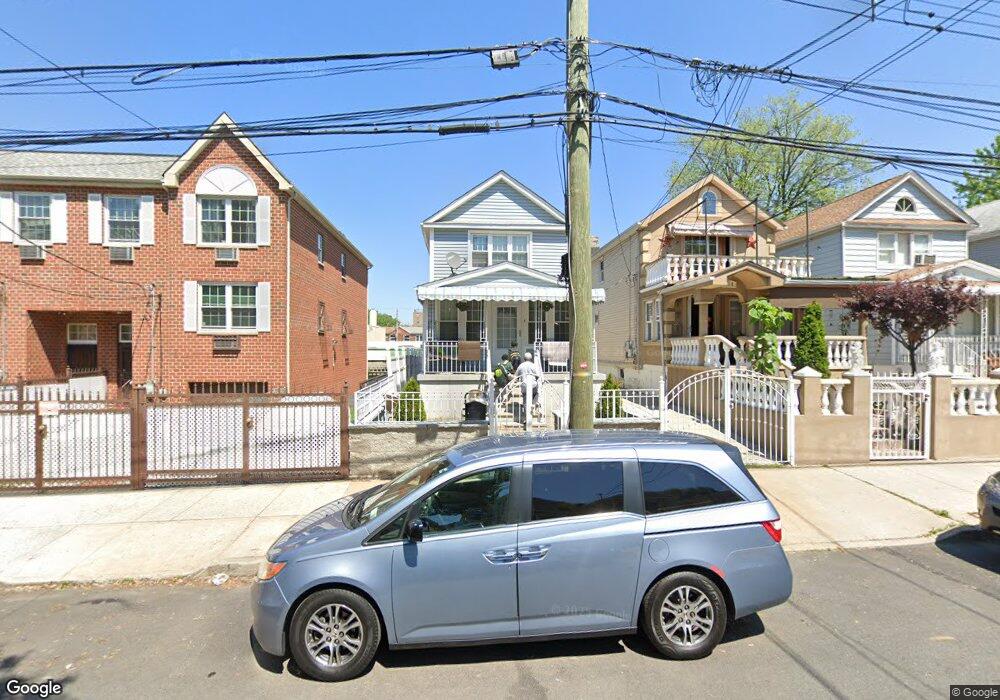
616 Leland Ave Bronx, NY 10473
Clason Point NeighborhoodEstimated Value: $659,389 - $826,000
3
Beds
2
Baths
2,250
Sq Ft
$326/Sq Ft
Est. Value
About This Home
This home is located at 616 Leland Ave, Bronx, NY 10473 and is currently estimated at $734,597, approximately $326 per square foot. 616 Leland Ave is a home located in Bronx County with nearby schools including P.S. 069 Journey Prep School - X069 and Holy Cross Elementary School.
Ownership History
Date
Name
Owned For
Owner Type
Purchase Details
Closed on
Apr 15, 2014
Sold by
Viera Felix and Viera Minerva
Bought by
Wellington-Walker Claire
Current Estimated Value
Home Financials for this Owner
Home Financials are based on the most recent Mortgage that was taken out on this home.
Original Mortgage
$382,900
Outstanding Balance
$290,856
Interest Rate
4.32%
Mortgage Type
FHA
Estimated Equity
$443,741
Create a Home Valuation Report for This Property
The Home Valuation Report is an in-depth analysis detailing your home's value as well as a comparison with similar homes in the area
Home Values in the Area
Average Home Value in this Area
Purchase History
| Date | Buyer | Sale Price | Title Company |
|---|---|---|---|
| Wellington-Walker Claire | $390,000 | -- |
Source: Public Records
Mortgage History
| Date | Status | Borrower | Loan Amount |
|---|---|---|---|
| Open | Wellington-Walker Claire | $382,900 |
Source: Public Records
Tax History Compared to Growth
Tax History
| Year | Tax Paid | Tax Assessment Tax Assessment Total Assessment is a certain percentage of the fair market value that is determined by local assessors to be the total taxable value of land and additions on the property. | Land | Improvement |
|---|---|---|---|---|
| 2025 | $4,318 | $21,498 | $4,047 | $17,451 |
| 2024 | $4,318 | $21,497 | $3,817 | $17,680 |
| 2023 | $4,322 | $21,280 | $3,537 | $17,743 |
| 2022 | $4,012 | $40,500 | $7,500 | $33,000 |
| 2021 | $3,996 | $39,120 | $7,500 | $31,620 |
| 2020 | $2,957 | $38,640 | $7,500 | $31,140 |
| 2019 | $2,913 | $39,840 | $7,500 | $32,340 |
| 2018 | $3,615 | $17,733 | $3,694 | $14,039 |
| 2017 | $3,414 | $16,748 | $4,824 | $11,924 |
| 2016 | $3,163 | $15,823 | $5,317 | $10,506 |
| 2015 | $1,513 | $14,929 | $5,685 | $9,244 |
| 2014 | $1,513 | $14,929 | $5,895 | $9,034 |
Source: Public Records
Map
Nearby Homes
- 643 Underhill Ave
- 643 Thieriot Ave
- 533 Underhill Ave
- 1822 Seward Ave
- 517 Underhill Ave
- 511 Bolton Ave
- 721 Thieriot Ave
- 508 Bolton Ave
- 1787 Randall Ave
- 1903 Lacombe Ave
- 500 Bolton Ave
- 1909 Lacombe Ave
- 532 Saint Lawrence Ave
- 1904 Lacombe Ave
- 444 Underhill Ave
- 1869 Lafayette Ave Unit 8B
- 625 Commonwealth Ave
- 428 Bolton Ave
- 410 Thieriot Ave
- 718 Rosedale Ave
- 614 Leland Ave
- 620 Leland Ave
- 612 Leland Ave
- 622 Leland Ave
- 610 Leland Ave
- 624 Leland Ave
- 634 Leland Ave
- 617 Underhill Ave
- 615 Underhill Ave
- 623 Underhill Ave
- 636 Leland Ave
- 611 Underhill Ave
- 625 Underhill Ave
- 638 Leland Ave
- 1867 Randall Ave
- 1869 Randall Ave
- 1865 Randall Ave
- 1871 Randall Ave
- 1873 Randall Ave
- 640 Leland Ave