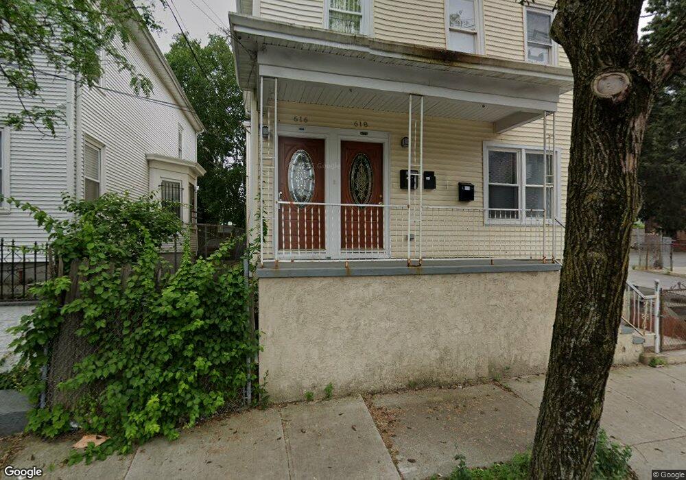
616 Public St Providence, RI 02907
Elmwood NeighborhoodEstimated Value: $647,000 - $670,000
8
Beds
3
Baths
2,940
Sq Ft
$223/Sq Ft
Est. Value
About This Home
This home is located at 616 Public St, Providence, RI 02907 and is currently estimated at $656,667, approximately $223 per square foot. 616 Public St is a home located in Providence County with nearby schools including Asa Messer Elementary School, Charles N. Fortes Elementary School, and Alfred Lima Sr. Elementary School.
Ownership History
Date
Name
Owned For
Owner Type
Purchase Details
Closed on
Oct 7, 2008
Sold by
Deutsche Bank Natl T C
Bought by
Martinee Teofila and Morel Alvaro
Current Estimated Value
Home Financials for this Owner
Home Financials are based on the most recent Mortgage that was taken out on this home.
Original Mortgage
$181,744
Interest Rate
6.54%
Mortgage Type
Purchase Money Mortgage
Purchase Details
Closed on
Sep 8, 2005
Sold by
Hernandez Juan
Bought by
Nunez Nelson
Create a Home Valuation Report for This Property
The Home Valuation Report is an in-depth analysis detailing your home's value as well as a comparison with similar homes in the area
Home Values in the Area
Average Home Value in this Area
Purchase History
| Date | Buyer | Sale Price | Title Company |
|---|---|---|---|
| Martinee Teofila | $154,000 | -- | |
| Nunez Nelson | $335,000 | -- |
Source: Public Records
Mortgage History
| Date | Status | Borrower | Loan Amount |
|---|---|---|---|
| Open | Nunez Nelson | $173,138 | |
| Closed | Nunez Nelson | $181,744 | |
| Closed | Nunez Nelson | $2,500 |
Source: Public Records
Tax History Compared to Growth
Tax History
| Year | Tax Paid | Tax Assessment Tax Assessment Total Assessment is a certain percentage of the fair market value that is determined by local assessors to be the total taxable value of land and additions on the property. | Land | Improvement |
|---|---|---|---|---|
| 2025 | $3,808 | $504,400 | $124,200 | $380,200 |
| 2024 | $5,804 | $316,300 | $53,800 | $262,500 |
| 2023 | $5,804 | $316,300 | $53,800 | $262,500 |
| 2022 | $5,630 | $316,300 | $53,800 | $262,500 |
| 2021 | $4,878 | $198,600 | $40,500 | $158,100 |
| 2020 | $4,878 | $198,600 | $40,500 | $158,100 |
| 2019 | $4,878 | $198,600 | $40,500 | $158,100 |
| 2018 | $3,637 | $113,800 | $27,600 | $86,200 |
| 2017 | $3,637 | $113,800 | $27,600 | $86,200 |
| 2016 | $3,637 | $113,800 | $27,600 | $86,200 |
| 2015 | $3,353 | $101,300 | $33,700 | $67,600 |
| 2014 | $3,419 | $101,300 | $33,700 | $67,600 |
| 2013 | $3,419 | $101,300 | $33,700 | $67,600 |
Source: Public Records
Map
Nearby Homes
- 118 Moore St
- 61 Whitmarsh St
- 171 Reynolds Ave
- 176 Reynolds Ave
- 131 Mitchell St
- 123 Chester Ave
- 166 Whitmarsh St
- 217 Elmwood Ave
- 3 Mount Vernon St
- 593 Broad St
- 561 Potters Ave
- 143 Houston St
- 462 Prairie Ave
- 17 Plum St
- 132 Atlantic Ave
- 690 Potters Ave
- 136 Houston St
- 8 Atlantic Ave
- 133 Burnett St Unit 135
- 33 Adelaide Ave