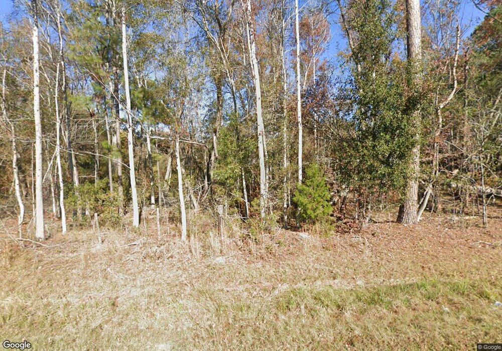
616 Robbins Branch Rd Sylvania, GA 30467
Estimated Value: $213,000 - $293,000
--
Bed
1
Bath
1,811
Sq Ft
$134/Sq Ft
Est. Value
About This Home
This home is located at 616 Robbins Branch Rd, Sylvania, GA 30467 and is currently estimated at $243,268, approximately $134 per square foot. 616 Robbins Branch Rd is a home located in Screven County with nearby schools including Screven County Elementary School, Screven County Middle School, and Screven County High School.
Ownership History
Date
Name
Owned For
Owner Type
Purchase Details
Closed on
Nov 14, 2017
Sold by
Brower James M
Bought by
Spear Ronald Gene and Spear Denise A
Current Estimated Value
Purchase Details
Closed on
Aug 14, 2017
Sold by
Mock Darlene
Bought by
Brower James M and Brower Dianne
Purchase Details
Closed on
Jun 14, 2004
Sold by
Bank Of New York
Bought by
Mock Doug and James Brower
Purchase Details
Closed on
Sep 2, 2003
Sold by
Mock Donnie
Bought by
Bank Of New York
Purchase Details
Closed on
Jun 29, 1998
Sold by
Mock Neolyn
Bought by
Mock Donnie
Create a Home Valuation Report for This Property
The Home Valuation Report is an in-depth analysis detailing your home's value as well as a comparison with similar homes in the area
Home Values in the Area
Average Home Value in this Area
Purchase History
| Date | Buyer | Sale Price | Title Company |
|---|---|---|---|
| Spear Ronald Gene | $100,000 | -- | |
| Brower James M | $10,116 | -- | |
| Mock Doug | $30,000 | -- | |
| Bank Of New York | -- | -- | |
| Mock Donnie | -- | -- |
Source: Public Records
Tax History Compared to Growth
Tax History
| Year | Tax Paid | Tax Assessment Tax Assessment Total Assessment is a certain percentage of the fair market value that is determined by local assessors to be the total taxable value of land and additions on the property. | Land | Improvement |
|---|---|---|---|---|
| 2024 | $1,395 | $47,960 | $11,000 | $36,960 |
| 2023 | $1,488 | $47,960 | $11,000 | $36,960 |
| 2022 | $1,426 | $45,720 | $11,000 | $34,720 |
| 2021 | $1,376 | $41,920 | $10,600 | $31,320 |
| 2020 | $1,390 | $41,080 | $11,000 | $30,080 |
| 2019 | $1,388 | $41,080 | $11,000 | $30,080 |
| 2018 | $1,159 | $40,480 | $11,000 | $29,480 |
| 2017 | $893 | $31,200 | $2,680 | $28,520 |
| 2016 | $1,091 | $33,336 | $2,680 | $30,656 |
| 2015 | -- | $32,256 | $2,680 | $29,576 |
| 2014 | -- | $32,376 | $2,680 | $29,696 |
| 2013 | -- | $33,176 | $2,680 | $30,496 |
Source: Public Records
Map
Nearby Homes
- 509 White Hill Rd
- 509 Whitehill Rd
- 388 White Hill Rd
- 388 Whitehill Rd
- 184 Sawgrass Rd
- 301 Beulah Rd
- 001 Beulah Rd
- 1430 Old Poor Robin Rd
- 0 Peeples Farm Rd Unit 10586522
- 0 Old Poor Robin Unit 10505589
- 0 Old Poor Robin Unit 23279409
- 0 Best Bridge Rd Unit 10585900
- 0 Best Bridge Rd Unit SA336787
- 150 Cowart Ln
- 0 Cowart Ln
- 103 Live Oak Rd
- 0 Halcyondale Rd Unit SA331612
- 0 Halcyondale Rd Unit 10536056
- 480 Best Bridge Rd
- 455 Best Bridge Rd
- 560 Whitehill Rd
- 570 Whitehill Rd
- 532 Whitehill Rd
- 509 Robbins Branch Rd
- 0 White Hill Rd Unit 7557215
- 0 White Hill Rd
- 474 Whitehill Rd
- 483 Whitehill Rd
- 418 Whitehill Rd
- 328 Story Rd
- 365 Story Rd
- 340 Whitehill Rd
- 0 Story Rd Unit 7475370
- 298 Story Rd
- 287 Whitehill Rd
- 612 Whitehill Rd
- 320 Whitehill Rd
- 291 Whitehill Rd
- 268 Story Rd
- 940 Robbins Branch Rd
