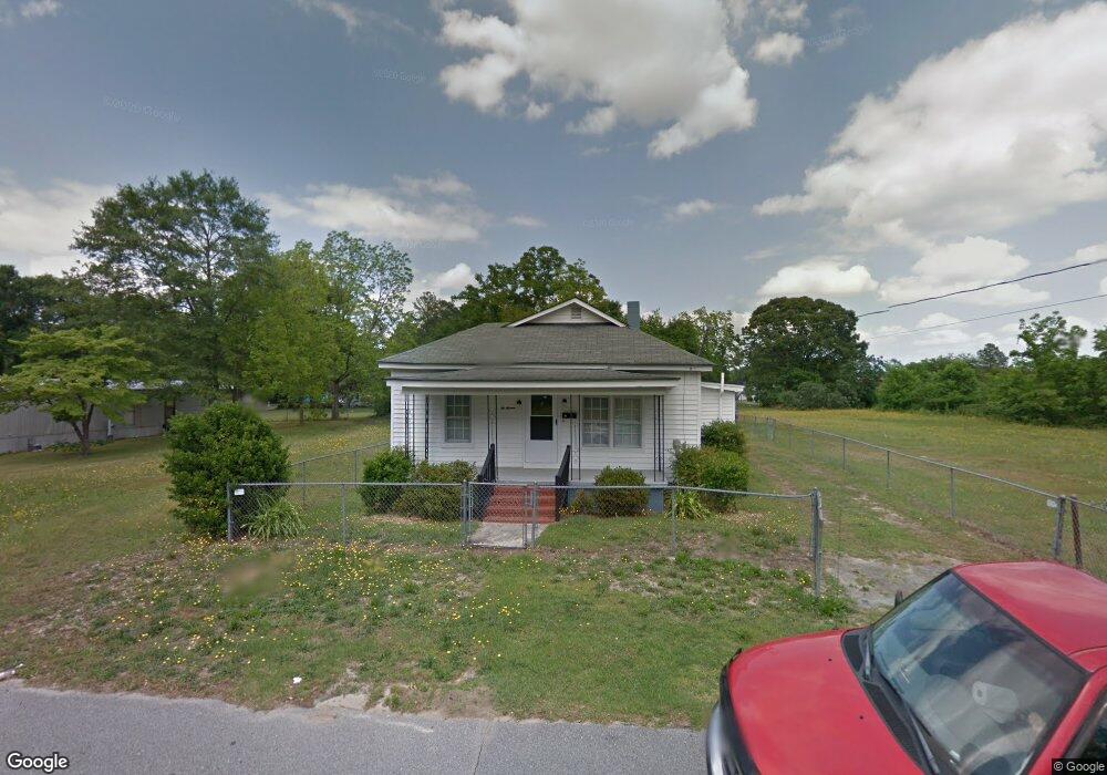
616 W King St La Grange, NC 28551
Estimated Value: $115,850 - $152,000
3
Beds
1
Bath
1,333
Sq Ft
$99/Sq Ft
Est. Value
About This Home
This home is located at 616 W King St, La Grange, NC 28551 and is currently estimated at $131,713, approximately $98 per square foot. 616 W King St is a home located in Lenoir County with nearby schools including La Grange Elementary School, E.B. Frink Middle School, and North Lenoir High School.
Ownership History
Date
Name
Owned For
Owner Type
Purchase Details
Closed on
Jul 12, 2011
Sold by
Best Brenda G
Bought by
Deal Kenneth R
Current Estimated Value
Purchase Details
Closed on
Apr 25, 2011
Sold by
Springleaf Financial Services Of North C
Bought by
Deal Kenneth R
Purchase Details
Closed on
Mar 2, 2005
Sold by
Best Brenda G
Bought by
Days Stella Best
Create a Home Valuation Report for This Property
The Home Valuation Report is an in-depth analysis detailing your home's value as well as a comparison with similar homes in the area
Home Values in the Area
Average Home Value in this Area
Purchase History
| Date | Buyer | Sale Price | Title Company |
|---|---|---|---|
| Deal Kenneth R | -- | -- | |
| Deal Kenneth R | $15,000 | None Available | |
| Deal Kenneth R | $15,000 | -- | |
| Days Stella Best | -- | None Available |
Source: Public Records
Tax History Compared to Growth
Tax History
| Year | Tax Paid | Tax Assessment Tax Assessment Total Assessment is a certain percentage of the fair market value that is determined by local assessors to be the total taxable value of land and additions on the property. | Land | Improvement |
|---|---|---|---|---|
| 2025 | $812 | $80,875 | $8,675 | $72,200 |
| 2024 | $680 | $49,403 | $4,121 | $45,282 |
| 2023 | $680 | $49,403 | $4,121 | $45,282 |
| 2022 | $680 | $49,403 | $4,121 | $45,282 |
| 2021 | $680 | $49,403 | $4,121 | $45,282 |
| 2020 | $680 | $49,403 | $4,121 | $45,282 |
| 2019 | $680 | $49,403 | $4,121 | $45,282 |
| 2018 | $673 | $49,403 | $4,121 | $45,282 |
| 2017 | $675 | $49,403 | $4,121 | $45,282 |
| 2014 | $679 | $52,821 | $4,122 | $48,699 |
| 2013 | -- | $52,821 | $4,122 | $48,699 |
| 2011 | -- | $52,821 | $4,122 | $48,699 |
Source: Public Records
Map
Nearby Homes
- 504 W Queen St
- 310 W Queen St
- 1 Martin Luther King Junior Dr
- 404 W James St
- 402 W James St
- 302 W James St
- 0 Easy St
- 0 Hickorynut Dr
- 110 W Railroad St
- 123 Brandy Ave
- 608 N Caswell St
- 612 N Caswell St
- 406 N Caswell St
- 603 N Caswell St
- Adams Plan at Walnut Hills - Liberty Series
- 606 N Caswell St
- Monroe Plan at Walnut Hills - Liberty Series
- 107 Institute
- 109 Institute
- 302 S Caswell St