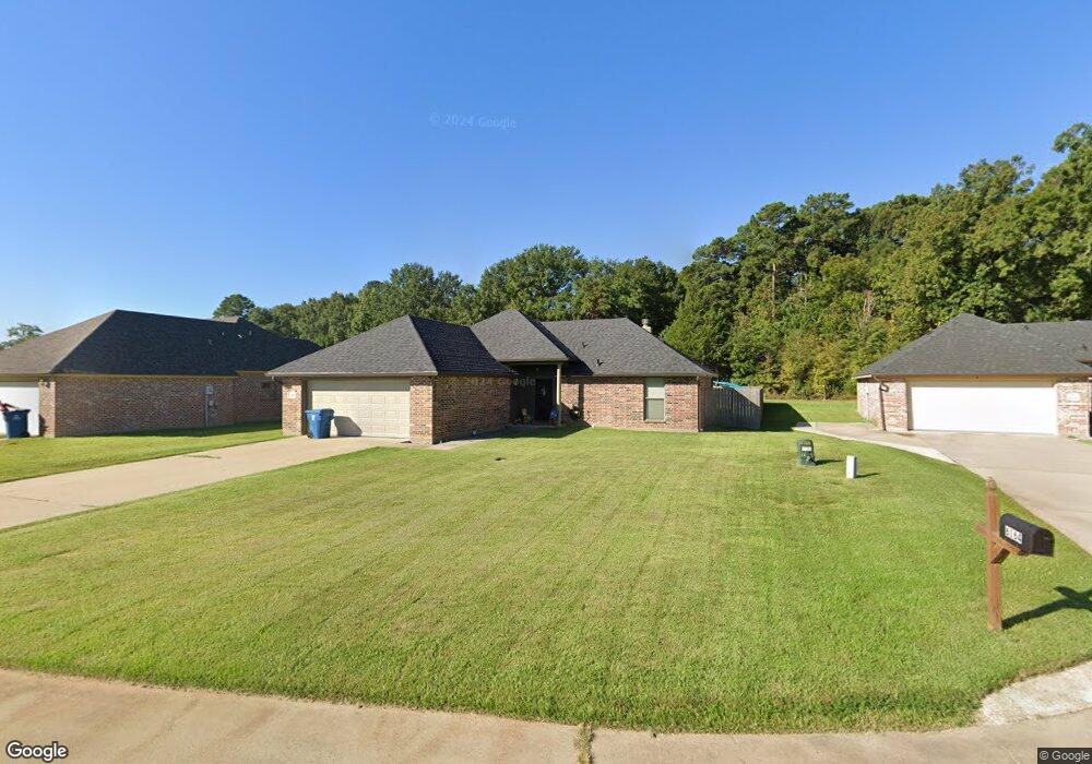
6160 Burbank Cir Shreveport, LA 71107
Estimated Value: $206,000 - $257,000
3
Beds
2
Baths
1,341
Sq Ft
$171/Sq Ft
Est. Value
About This Home
This home is located at 6160 Burbank Cir, Shreveport, LA 71107 and is currently estimated at $229,029, approximately $170 per square foot. 6160 Burbank Cir is a home with nearby schools including Mooringsport Elementary School, Judson Fundamental Elementary School, and Fairfield Magnet School.
Ownership History
Date
Name
Owned For
Owner Type
Purchase Details
Closed on
Sep 14, 2012
Sold by
E & L Development Inc
Bought by
Hatten Corey Patrick
Current Estimated Value
Home Financials for this Owner
Home Financials are based on the most recent Mortgage that was taken out on this home.
Original Mortgage
$156,020
Outstanding Balance
$108,061
Interest Rate
3.59%
Mortgage Type
New Conventional
Estimated Equity
$120,968
Create a Home Valuation Report for This Property
The Home Valuation Report is an in-depth analysis detailing your home's value as well as a comparison with similar homes in the area
Home Values in the Area
Average Home Value in this Area
Purchase History
| Date | Buyer | Sale Price | Title Company |
|---|---|---|---|
| Hatten Corey Patrick | $152,900 | None Available |
Source: Public Records
Mortgage History
| Date | Status | Borrower | Loan Amount |
|---|---|---|---|
| Open | Hatten Corey Patrick | $156,020 |
Source: Public Records
Tax History Compared to Growth
Tax History
| Year | Tax Paid | Tax Assessment Tax Assessment Total Assessment is a certain percentage of the fair market value that is determined by local assessors to be the total taxable value of land and additions on the property. | Land | Improvement |
|---|---|---|---|---|
| 2024 | $2,651 | $16,731 | $2,869 | $13,862 |
| 2023 | $2,549 | $15,658 | $2,733 | $12,925 |
| 2022 | $2,549 | $15,658 | $2,733 | $12,925 |
| 2021 | $2,550 | $15,658 | $2,733 | $12,925 |
| 2020 | $2,551 | $15,658 | $2,733 | $12,925 |
| 2019 | $2,455 | $15,174 | $2,733 | $12,441 |
| 2018 | $1,194 | $15,174 | $2,733 | $12,441 |
| 2017 | $2,425 | $15,174 | $2,733 | $12,441 |
| 2015 | $1,213 | $15,174 | $2,733 | $12,441 |
| 2014 | $1,220 | $15,170 | $2,730 | $12,440 |
| 2013 | -- | $15,170 | $2,730 | $12,440 |
Source: Public Records
Map
Nearby Homes
- 6980 Regatta Dr
- 6964 Emerald Bay Loop
- 0 Morrow Rd
- 6186 Pine Tree Loop
- 00 Highway 1
- 6948 N Colony Dr
- 29 W Henderson Gin Rd
- 8050 Highway 1
- 7478 Henderson Gin Rd
- 2257 Soda Lake Cir
- 5589 Grace Ann Ln
- 4820 Bogey Ln
- 2271 Soda Lake Cir
- 5577 Crystal Dr
- 009 Castle Dale Loop
- 2286 J And j Trail
- 0 Mirkwood Unit 97 20698306
- 0 Mirkwood Unit 96 20698300
- 0 Mirkwood Unit 94 20698275
- 7415 Henderson Gin Rd
- 6164 Burbank Cir
- 6984 Regatta Dr
- 6988 Regatta Dr
- 6159 Burbank Cir
- 6163 Burbank Cir
- 6167 Burbank Cir
- 6992 Regatta Dr
- 6171 Burbank Cir
- 6929 Emerald Bay Loop
- 6965 Emerald Bay Loop
- 6926 Emerald Bay Loop
- 6977 Regatta Dr
- 6973 Regatta Dr
- 6981 Regatta Dr
- 6996 Regatta Dr
- 6969 Regatta Dr
- 6985 Regatta Dr
- 6989 Regatta Dr
- 7625 Highway 1
- 7635 Highway 1