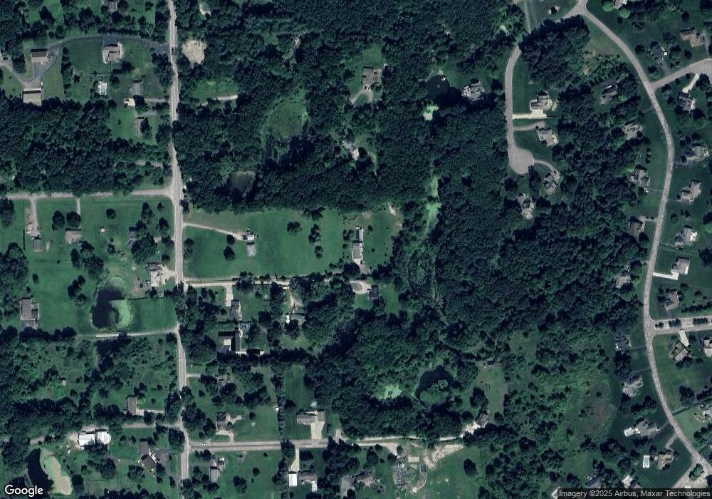
6160 Ormond Rd White Lake, MI 48383
Estimated Value: $325,000 - $372,000
3
Beds
2
Baths
1,432
Sq Ft
$241/Sq Ft
Est. Value
About This Home
This home is located at 6160 Ormond Rd, White Lake, MI 48383 and is currently estimated at $345,186, approximately $241 per square foot. 6160 Ormond Rd is a home located in Oakland County with nearby schools including Holly High School.
Ownership History
Date
Name
Owned For
Owner Type
Purchase Details
Closed on
Oct 4, 2019
Sold by
Wisneski and Kristina
Bought by
Wisneski Family Revocable Living Trust
Current Estimated Value
Purchase Details
Closed on
Dec 9, 2011
Sold by
Oakland County Treasurer
Bought by
Carroll Krispen S
Purchase Details
Closed on
May 6, 2008
Sold by
Gouba Michael S
Bought by
Federal Home Loan Mortgage Corp
Purchase Details
Closed on
May 17, 2007
Sold by
Leach Leonard J and Leach Linda D
Bought by
Gouba Michael S
Create a Home Valuation Report for This Property
The Home Valuation Report is an in-depth analysis detailing your home's value as well as a comparison with similar homes in the area
Home Values in the Area
Average Home Value in this Area
Purchase History
| Date | Buyer | Sale Price | Title Company |
|---|---|---|---|
| Wisneski Family Revocable Living Trust | -- | None Listed On Document | |
| Carroll Krispen S | $155 | None Available | |
| Federal Home Loan Mortgage Corp | $197,668 | None Available | |
| Gouba Michael S | $235,000 | Title One Inc |
Source: Public Records
Tax History Compared to Growth
Tax History
| Year | Tax Paid | Tax Assessment Tax Assessment Total Assessment is a certain percentage of the fair market value that is determined by local assessors to be the total taxable value of land and additions on the property. | Land | Improvement |
|---|---|---|---|---|
| 2025 | $2,426 | $152,630 | $0 | $0 |
| 2024 | $1,444 | $151,300 | $0 | $0 |
| 2023 | $1,211 | $131,220 | $0 | $0 |
| 2022 | $1,957 | $131,480 | $0 | $0 |
| 2021 | $1,835 | $109,780 | $0 | $0 |
| 2020 | $1,108 | $96,970 | $0 | $0 |
| 2019 | $1,778 | $86,140 | $0 | $0 |
| 2018 | $1,737 | $76,660 | $0 | $0 |
| 2017 | $1,676 | $76,660 | $0 | $0 |
| 2016 | $1,669 | $66,640 | $0 | $0 |
| 2015 | -- | $59,690 | $0 | $0 |
| 2014 | -- | $49,850 | $0 | $0 |
| 2011 | -- | $52,080 | $0 | $0 |
Source: Public Records
Map
Nearby Homes
- 5500 Huntsman Dr
- 13095 Woodland Trail
- 12100 Woodland Trail
- 13180 Woodland Trail
- 5115 Allingham Dr
- 5090 Lakeborn Dr
- 3667 Falcons Nest
- 13875 Neal Rd
- 4904 Lake Grove Dr
- 5100 Birch Ln
- 4640 Melanie Ln
- 4408 Hartley
- 4420 McKeachie Rd
- 4120 Navarra Ct
- 4916 Hillock
- 4370 Leroy Ct
- 5567 Birch Ln
- 12859 Shaffer Rd
- 12700 Shaffer Rd
- N/A Giddings Blvd
- 6130 Ormond Rd
- 6120 Ormond Rd
- 6170 Ormond Rd
- 6150 Ormond Rd
- 6110 Ormond Rd
- 6102 Ormond Rd
- 4815 Dusty Trail
- 5382 W Alyssa Ct
- 6190 Ormond Rd
- 6080 Ormond Rd
- 5415 W Alyssa Ct
- 5392 W Alyssa Ct
- 6070 Ormond Rd
- 6060 Ormond Rd
- 6149 Ormond Rd
- 6135 Ormond Rd
- 6200 Ormond Rd
- 5412 W Alyssa Ct Unit 65
- 5422 W Alyssa Ct
- 6040 Ormond Rd
