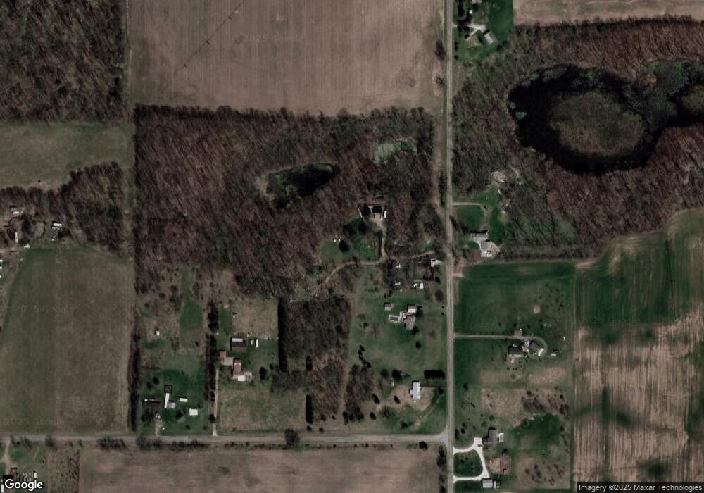
61600 Roberts Rd Three Rivers, MI 49093
Estimated Value: $312,000 - $331,000
--
Bed
1
Bath
1,254
Sq Ft
$258/Sq Ft
Est. Value
About This Home
This home is located at 61600 Roberts Rd, Three Rivers, MI 49093 and is currently estimated at $323,093, approximately $257 per square foot. 61600 Roberts Rd is a home located in St. Joseph County.
Ownership History
Date
Name
Owned For
Owner Type
Purchase Details
Closed on
Jun 30, 2005
Sold by
Estate Of Lowell W Sheteron
Bought by
Balyeat Monte R and Balyeat Leslie Phillip
Current Estimated Value
Home Financials for this Owner
Home Financials are based on the most recent Mortgage that was taken out on this home.
Original Mortgage
$140,600
Outstanding Balance
$73,395
Interest Rate
5.66%
Mortgage Type
Fannie Mae Freddie Mac
Estimated Equity
$249,698
Purchase Details
Closed on
Nov 12, 1985
Sold by
Balyeat Monte R and Leslie Phillip
Purchase Details
Closed on
Jan 1, 1901
Create a Home Valuation Report for This Property
The Home Valuation Report is an in-depth analysis detailing your home's value as well as a comparison with similar homes in the area
Home Values in the Area
Average Home Value in this Area
Purchase History
| Date | Buyer | Sale Price | Title Company |
|---|---|---|---|
| Balyeat Monte R | $148,000 | -- | |
| -- | -- | -- | |
| -- | -- | -- |
Source: Public Records
Mortgage History
| Date | Status | Borrower | Loan Amount |
|---|---|---|---|
| Open | Balyeat Monte R | $140,600 |
Source: Public Records
Tax History Compared to Growth
Tax History
| Year | Tax Paid | Tax Assessment Tax Assessment Total Assessment is a certain percentage of the fair market value that is determined by local assessors to be the total taxable value of land and additions on the property. | Land | Improvement |
|---|---|---|---|---|
| 2025 | $2,051 | $139,200 | $51,800 | $87,400 |
| 2024 | $850 | $130,200 | $43,000 | $87,200 |
| 2023 | $810 | $113,400 | $35,500 | $77,900 |
| 2022 | $771 | $95,700 | $31,900 | $63,800 |
| 2021 | $1,057 | $84,000 | $28,300 | $55,700 |
| 2020 | $1,045 | $77,500 | $27,600 | $49,900 |
| 2019 | $724 | $78,300 | $25,600 | $52,700 |
| 2018 | $1,625 | $75,700 | $25,600 | $50,100 |
| 2017 | $1,608 | $74,100 | $74,100 | $0 |
| 2016 | -- | $72,600 | $72,600 | $0 |
| 2015 | -- | $64,900 | $0 | $0 |
| 2014 | -- | $66,000 | $66,000 | $0 |
| 2012 | -- | $64,900 | $64,900 | $0 |
Source: Public Records
Map
Nearby Homes
- 13191 Harder Rd
- v/l Us 131 S
- 11670 Harder Rd
- 59446 Ferguson Rd
- 63779 Youngs Prairie Rd
- 13060 Broadway Rd
- 14765 Millard Rd
- 60241 Constantine Rd
- 815 Swartz St
- 15072 N Northpark Dr
- 1 S Tolbert Dr Unit V/L
- 14927 Coon Hollow Rd
- 1118 Millard Ct
- 622 S Hooker Ave
- 59120 S Us Highway 131
- 1200 Third St
- 59688 Summit St
- 1109 5th St
- 215 S Lincoln Ave
- 1016 4th St
- 61600 Roberts Rd
- 61620 Roberts Rd
- 61670 Roberts Rd
- 61718 Roberts Rd
- 61577 Roberts Rd
- 61689 Roberts Rd
- 61751 Roberts Rd
- 61864 Roberts Rd
- 13898 Harder Rd
- 14058 Drummond Rd
- 14022 Harder Rd
- 14058 Drummond Rd
- 14100 Harder Rd
- 61427 Roberts Rd
- 13778 Harder Rd
- 13873 Harder Rd
- 14348 Drummond Rd
- 13821 Harder Rd
- 14386 Drummond Rd
- 14470 Drummond Rd
