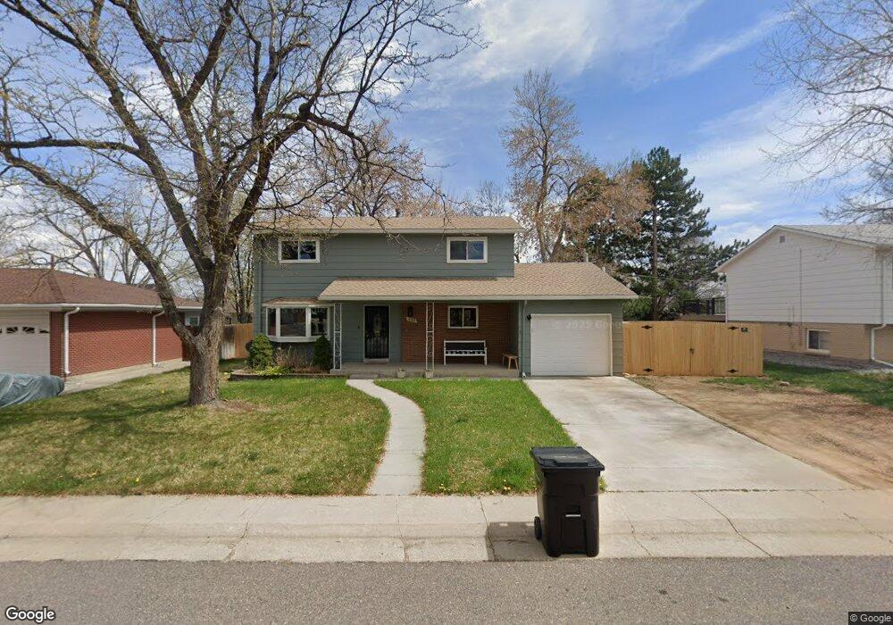
6162 Van Gordon St Arvada, CO 80004
Allendale NeighborhoodEstimated Value: $624,543 - $681,000
3
Beds
3
Baths
2,153
Sq Ft
$300/Sq Ft
Est. Value
About This Home
This home is located at 6162 Van Gordon St, Arvada, CO 80004 and is currently estimated at $645,386, approximately $299 per square foot. 6162 Van Gordon St is a home located in Jefferson County with nearby schools including Vanderhoof Elementary School, Drake Junior High School, and Arvada West High School.
Ownership History
Date
Name
Owned For
Owner Type
Purchase Details
Closed on
May 29, 2020
Sold by
Smith Stephins and Smith Briana
Bought by
Kleinschmidt Simone
Current Estimated Value
Purchase Details
Closed on
May 5, 2010
Sold by
Sherman John M and Sherman Rose M
Bought by
Smith Stephens and Smith Briana
Home Financials for this Owner
Home Financials are based on the most recent Mortgage that was taken out on this home.
Original Mortgage
$221,023
Interest Rate
5.5%
Mortgage Type
FHA
Create a Home Valuation Report for This Property
The Home Valuation Report is an in-depth analysis detailing your home's value as well as a comparison with similar homes in the area
Home Values in the Area
Average Home Value in this Area
Purchase History
| Date | Buyer | Sale Price | Title Company |
|---|---|---|---|
| Kleinschmidt Simone | $470,000 | First American | |
| Smith Stephens | $224,000 | Land Title Guarantee Company |
Source: Public Records
Mortgage History
| Date | Status | Borrower | Loan Amount |
|---|---|---|---|
| Previous Owner | Smith Stephens | $221,023 |
Source: Public Records
Tax History Compared to Growth
Tax History
| Year | Tax Paid | Tax Assessment Tax Assessment Total Assessment is a certain percentage of the fair market value that is determined by local assessors to be the total taxable value of land and additions on the property. | Land | Improvement |
|---|---|---|---|---|
| 2024 | $3,657 | $37,703 | $13,465 | $24,238 |
| 2023 | $3,657 | $37,703 | $13,465 | $24,238 |
| 2022 | $3,296 | $33,658 | $10,525 | $23,133 |
| 2021 | $3,351 | $34,627 | $10,828 | $23,799 |
| 2020 | $2,574 | $26,670 | $9,757 | $16,913 |
| 2019 | $2,539 | $26,670 | $9,757 | $16,913 |
| 2018 | $2,219 | $22,667 | $6,895 | $15,772 |
| 2017 | $2,032 | $22,667 | $6,895 | $15,772 |
| 2016 | $1,924 | $20,219 | $5,803 | $14,416 |
| 2015 | $1,657 | $20,219 | $5,803 | $14,416 |
| 2014 | $1,657 | $16,366 | $4,872 | $11,494 |
Source: Public Records
Map
Nearby Homes
- 12362 W 60th Place
- 6085 Simms St
- 11626 W 62nd Place Unit 103
- 11640 W 62nd Place Unit 203
- 12017 W 58th Place
- 12976 W 61st Cir
- 6440 Wright St
- 5779 Taft St
- 11944 W 57th Dr
- 11924 W 57th Dr
- 13168 W 62nd Dr
- 12924 W 64th Dr Unit B
- 11958 W 57th Place
- 5795 Xenon Way
- 6470 Simms St Unit C
- 11925 W 66th Place Unit B
- 11820 W 66th Place Unit A
- 13155 W 63rd Place
- 6416 Zang Ct
- 11198 W 59th Place
- 6182 Van Gordon St
- 6143 Urban Ct
- 6163 Urban Ct
- 12156 W 62nd Ave
- 6122 Van Gordon St
- 6161 Van Gordon St
- 6123 Urban Ct
- 6181 Van Gordon St
- 6141 Van Gordon St
- 6183 Urban Ct
- 12236 W 62nd Ave
- 6121 Van Gordon St
- 12155 W 61st Ave
- 12145 W 61st Ave
- 6164 Urban Ct
- 6140 Vivian St
- 6160 Vivian St
- 6184 Urban Ct
- 6144 Urban Ct
- 6120 Vivian St