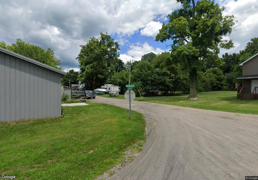
Estimated Value: $139,240 - $186,000
3
Beds
1
Bath
1,384
Sq Ft
$119/Sq Ft
Est. Value
About This Home
This home is located at 61621 Maple St, Jones, MI 49061 and is currently estimated at $165,060, approximately $119 per square foot. 61621 Maple St is a home located in Cass County.
Ownership History
Date
Name
Owned For
Owner Type
Purchase Details
Closed on
Jul 13, 2015
Sold by
Hatfield Randy Lee
Bought by
Tokas Pride Llc
Current Estimated Value
Purchase Details
Closed on
May 9, 2015
Sold by
Weddle Candace Yvonne
Bought by
Hatfield Randy Lee
Purchase Details
Closed on
Jan 2, 2015
Sold by
Hatfield Randy Lee
Bought by
Weddle Candace Yvonne
Home Financials for this Owner
Home Financials are based on the most recent Mortgage that was taken out on this home.
Original Mortgage
$54,000
Interest Rate
3.97%
Purchase Details
Closed on
Oct 21, 2014
Sold by
Hatfield Randy Lee
Bought by
Hatfield Randy Lee
Purchase Details
Closed on
Mar 14, 2011
Sold by
Federal Home Loan Mortgage Corporation
Bought by
Hatfield Toka
Purchase Details
Closed on
Feb 10, 2010
Sold by
Swiatkowski Michael S and Swiatkowski Carol E
Bought by
Federal Home Loan Mortgage Corp
Create a Home Valuation Report for This Property
The Home Valuation Report is an in-depth analysis detailing your home's value as well as a comparison with similar homes in the area
Home Values in the Area
Average Home Value in this Area
Purchase History
| Date | Buyer | Sale Price | Title Company |
|---|---|---|---|
| Tokas Pride Llc | -- | None Available | |
| Hatfield Randy Lee | -- | None Available | |
| Weddle Candace Yvonne | $79,000 | None Available | |
| Hatfield Randy Lee | -- | None Available | |
| Hatfield Toka | $12,500 | Attorneys Title Agency Llc | |
| Federal Home Loan Mortgage Corp | $39,000 | None Available |
Source: Public Records
Mortgage History
| Date | Status | Borrower | Loan Amount |
|---|---|---|---|
| Previous Owner | Weddle Candace Yvonne | $54,000 |
Source: Public Records
Tax History Compared to Growth
Tax History
| Year | Tax Paid | Tax Assessment Tax Assessment Total Assessment is a certain percentage of the fair market value that is determined by local assessors to be the total taxable value of land and additions on the property. | Land | Improvement |
|---|---|---|---|---|
| 2025 | $1,497 | $52,400 | $52,400 | $0 |
| 2024 | $338 | $45,400 | $45,400 | $0 |
| 2023 | $322 | $46,300 | $0 | $0 |
| 2022 | $307 | $36,900 | $0 | $0 |
| 2021 | $1,279 | $34,600 | $0 | $0 |
| 2020 | $1,236 | $34,600 | $0 | $0 |
| 2019 | $1,204 | $33,500 | $0 | $0 |
| 2018 | $283 | $26,300 | $0 | $0 |
| 2017 | $282 | $26,500 | $0 | $0 |
| 2016 | $279 | $26,000 | $0 | $0 |
| 2015 | -- | $28,700 | $0 | $0 |
| 2011 | -- | $37,450 | $0 | $0 |
Source: Public Records
Map
Nearby Homes
- 61500 Main St
- 12039 Bair Lake St
- 12161 Bair Lake St - Garage
- 12161 Bair Lake St Unit Lot
- VL Timberlane Dr
- 12377 Bair Lake St Unit 4
- 12377 Bair Lake St
- 59477 County Line Rd
- 63051 Morel Ln
- 14883 Hideaway Dr
- 64318 Robbins Lake Rd
- 64554 Michigan 40
- 11008 Corey Lake Rd
- 63646 Birch Rd
- 61272 Lewis Lake Rd
- 59688 Summit St
- 10281 Walnut Dr
- Lot 45 Walnut Dr
- Lot 44 Walnut Dr
- 11126 Rd
- 0 Maple St
- 61591 Maple St
- 11926 Railroad St
- 61588 High St
- 61684 Maple St
- 61684 Maple St Unit 1
- 61600 High St
- 61571 Maple St
- 61656 Railroad St
- 61562 Maple St
- 11911 Mckinley St
- 11921 Mckinley St Unit 23
- 61619 High St
- 61630 High St
- 61580 High St
- 61613 S Main
- 61605 High St
- 11899 Mckinley St
- 61635 High St
- 61549 S Main
