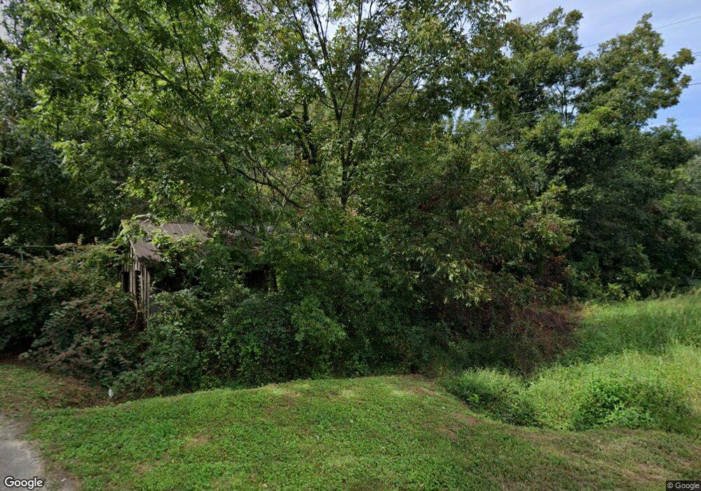
6163 Highway 115 W Cleveland, GA 30528
Estimated Value: $137,000 - $258,641
2
Beds
1
Bath
1,440
Sq Ft
$140/Sq Ft
Est. Value
About This Home
This home is located at 6163 Highway 115 W, Cleveland, GA 30528 and is currently estimated at $201,910, approximately $140 per square foot. 6163 Highway 115 W is a home located in White County with nearby schools including Tesnatee Gap Elementary (Old White County Intermediate), White County 9th Grade Academy, and Jack P. Nix Elementary School.
Ownership History
Date
Name
Owned For
Owner Type
Purchase Details
Closed on
Sep 12, 2019
Sold by
Carr Cheila Marylee
Bought by
Pugh Johnathon C and Pugh Trina M
Current Estimated Value
Home Financials for this Owner
Home Financials are based on the most recent Mortgage that was taken out on this home.
Original Mortgage
$67,014
Outstanding Balance
$58,570
Interest Rate
3.6%
Mortgage Type
New Conventional
Estimated Equity
$143,340
Purchase Details
Closed on
Feb 1, 2007
Sold by
Not Provided
Bought by
Kanady Sheila
Create a Home Valuation Report for This Property
The Home Valuation Report is an in-depth analysis detailing your home's value as well as a comparison with similar homes in the area
Home Values in the Area
Average Home Value in this Area
Purchase History
| Date | Buyer | Sale Price | Title Company |
|---|---|---|---|
| Pugh Johnathon C | $62,500 | -- | |
| Kanady Sheila | -- | -- |
Source: Public Records
Mortgage History
| Date | Status | Borrower | Loan Amount |
|---|---|---|---|
| Open | Pugh Johnathon C | $67,014 |
Source: Public Records
Tax History Compared to Growth
Tax History
| Year | Tax Paid | Tax Assessment Tax Assessment Total Assessment is a certain percentage of the fair market value that is determined by local assessors to be the total taxable value of land and additions on the property. | Land | Improvement |
|---|---|---|---|---|
| 2025 | $1,141 | $54,776 | $8,296 | $46,480 |
| 2024 | $1,141 | $54,776 | $8,296 | $46,480 |
| 2023 | $1,102 | $48,572 | $7,376 | $41,196 |
| 2022 | $1,003 | $42,272 | $6,452 | $35,820 |
| 2021 | $921 | $34,368 | $5,408 | $28,960 |
| 2020 | $704 | $25,000 | $4,000 | $21,000 |
| 2019 | $791 | $30,028 | $5,024 | $25,004 |
| 2018 | $791 | $30,028 | $5,024 | $25,004 |
| 2017 | $740 | $28,452 | $5,024 | $23,428 |
| 2016 | $740 | $28,452 | $5,024 | $23,428 |
| 2015 | $706 | $71,130 | $5,024 | $23,428 |
| 2014 | $660 | $66,670 | $0 | $0 |
Source: Public Records
Map
Nearby Homes
- LOT 24 Luther Palmer Rd
- 0 Westmoreland Rd Unit 10596625
- 4872 Highway 115 W
- 00 Deer Run Trail
- 966 Wahoo Creek Rd
- 635 White Oak Trail
- 3395 Asbury Mill Rd
- 0 Valhalla Dr Unit 10621291
- 59 Rocket Dr
- 31 Valhalla Dr
- 0 Waterfall Dr Unit 9 10472076
- 675 Wauka Ridge Rd
- Chapman Ridge
- 174 Leighs Crossing
- 0 Asbury Mill Rd Unit 10599324
- 0 Asbury Mill Rd Unit 7644389
- 0 Wauka Ridge Rd
- 132 Wauka Mountain Rd
- 987 Peaceful Valley Dr
- 499 Old Deer Path Way
- 6185 Highway 115 W
- 37 Long Hill Dr
- 77 Long Hill Dr
- 6231 Highway 115 W
- 6150 Highway 115 W
- 15 Long Hill Dr
- 15 Long Hill Dr
- 0 Long Hill Dr Unit 8142164
- 17 Sugarloaf Dr
- 76 Richard Jackson Rd
- 41 Sunkist Dr
- 6250 Highway 115 W
- 37 Sunkist Dr
- 6072 Highway 115 W
- 6260 Highway 115 W
- 6186 Highway 115 E
- 6166 Highway 115 W
- 449 Shoal Creek Church Rd
- 6293 Highway 115 W
- 6168 Highway 115 W