Estimated Value: $201,556 - $241,000
3
Beds
2
Baths
1,739
Sq Ft
$127/Sq Ft
Est. Value
About This Home
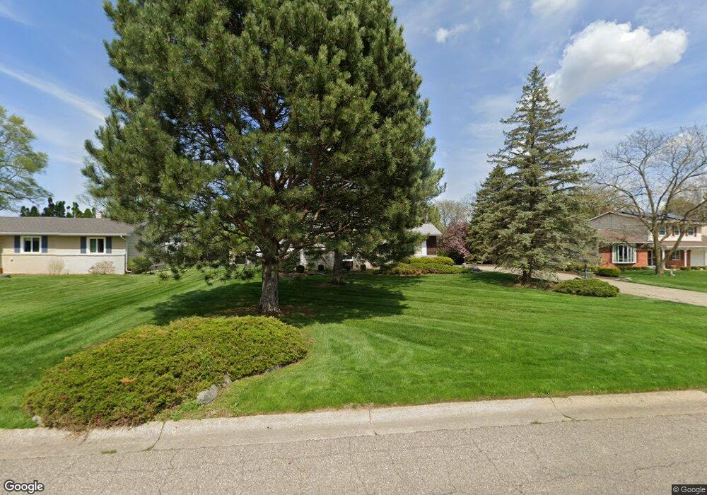
This home is located at 6164 Lancaster Dr, Flint, MI 48532 and is currently estimated at $220,639, approximately $126 per square foot. 6164 Lancaster Dr is a home located in Genesee County with nearby schools including Carman-Ainsworth High School, Genesee STEM Academy, and Genesee Academy.
Ownership History
Date
Name
Owned For
Owner Type
Purchase Details
Closed on
Aug 22, 2003
Sold by
Kimbrell Steven D and Kimbrell Stacey
Bought by
Harris Pamela
Current Estimated Value
Purchase Details
Closed on
Aug 28, 2001
Sold by
Haut Clifford E and Haut Ruth Joann
Bought by
Kimbrell Steven D
Home Financials for this Owner
Home Financials are based on the most recent Mortgage that was taken out on this home.
Original Mortgage
$121,500
Interest Rate
7.03%
Purchase Details
Closed on
May 6, 1999
Sold by
Haut Clifford E
Bought by
Revoc Clifford E and Revoc Ruth
Create a Home Valuation Report for This Property
The Home Valuation Report is an in-depth analysis detailing your home's value as well as a comparison with similar homes in the area
Home Values in the Area
Average Home Value in this Area
Purchase History
| Date | Buyer | Sale Price | Title Company |
|---|---|---|---|
| Harris Pamela | $149,000 | First American Title | |
| Kimbrell Steven D | $135,000 | Lawyers Title Insurance Corp | |
| Revoc Clifford E | -- | -- |
Source: Public Records
Mortgage History
| Date | Status | Borrower | Loan Amount |
|---|---|---|---|
| Previous Owner | Kimbrell Steven D | $121,500 |
Source: Public Records
Tax History
| Year | Tax Paid | Tax Assessment Tax Assessment Total Assessment is a certain percentage of the fair market value that is determined by local assessors to be the total taxable value of land and additions on the property. | Land | Improvement |
|---|---|---|---|---|
| 2025 | $2,030 | $98,200 | $0 | $0 |
| 2024 | $1,051 | $96,500 | $0 | $0 |
| 2023 | $1,003 | $82,500 | $0 | $0 |
| 2022 | $893 | $75,300 | $0 | $0 |
| 2021 | $1,814 | $68,400 | $0 | $0 |
| 2020 | $901 | $57,000 | $0 | $0 |
| 2019 | $888 | $50,200 | $0 | $0 |
| 2018 | $1,658 | $42,800 | $0 | $0 |
| 2017 | $1,617 | $42,800 | $0 | $0 |
| 2016 | $1,659 | $41,000 | $0 | $0 |
| 2015 | $1,492 | $38,500 | $0 | $0 |
| 2014 | $885 | $37,100 | $0 | $0 |
| 2012 | -- | $43,900 | $43,900 | $0 |
Source: Public Records
Map
Nearby Homes
- 6090 Lancaster Dr
- 6172 W Court St
- 6272 W Court St
- 1417 Mintola Ave
- 000 Corunna Rd
- 5526 Corunna Rd
- 00 Corunna Rd
- 1417 Grassmere Ave
- oo Walnut Creek Dr
- 1192 Citation Dr
- 1184 Citation Dr
- 00 Graham St
- 6007 Corunna Rd
- 0 Country Ridge Trail
- 6142 Noel Dr
- 5423 Meadowcrest Dr
- 1066 Ramsgate Rd
- 0000 Reuben Reuben St
- 1460 S Dye Rd
- 7035 Saratoga Dr
- 6174 Lancaster Dr
- 6152 Lancaster Dr
- 6127 Trenton Dr
- 6132 Lancaster Dr
- 6139 Trenton Dr
- 6153 Trenton Dr
- 6169 Trenton Dr
- 6169 Lancaster Dr
- 6119 Trenton Dr
- 6159 Lancaster Dr
- 6120 Lancaster Dr
- 6185 Lancaster Dr
- 6139 Lancaster Dr
- 6111 Trenton Dr
- 6149 Lancaster Dr
- 6110 Lancaster Dr
- 6215 Trenton Dr
- 6131 Lancaster Dr
- 6120 Trenton Dr
- 6231 Trenton Dr
Your Personal Tour Guide
Ask me questions while you tour the home.