6164 Slick Rock Dr Conroe, TX 77304
Estimated Value: $1,261,000 - $2,181,039
--
Bed
2
Baths
7,581
Sq Ft
$227/Sq Ft
Est. Value
About This Home
This home is located at 6164 Slick Rock Dr, Conroe, TX 77304 and is currently estimated at $1,721,020, approximately $227 per square foot. 6164 Slick Rock Dr is a home located in Montgomery County with nearby schools including Eddie Ruth Lagway Elementary, Robert P. Brabham Middle School, and Willis High School.
Ownership History
Date
Name
Owned For
Owner Type
Purchase Details
Closed on
Jan 25, 2024
Sold by
Delacerda Terry A and Delacerda Pauala E
Bought by
Terry Allen Delacerda And Paula Eaton Delacer and Delacerda
Current Estimated Value
Purchase Details
Closed on
May 12, 2008
Sold by
Teaswood Llc
Bought by
Delacerda Terry and Delacerda Paula
Create a Home Valuation Report for This Property
The Home Valuation Report is an in-depth analysis detailing your home's value as well as a comparison with similar homes in the area
Home Values in the Area
Average Home Value in this Area
Purchase History
| Date | Buyer | Sale Price | Title Company |
|---|---|---|---|
| Terry Allen Delacerda And Paula Eaton Delacer | -- | -- | |
| Delacerda Terry | -- | -- |
Source: Public Records
Tax History Compared to Growth
Tax History
| Year | Tax Paid | Tax Assessment Tax Assessment Total Assessment is a certain percentage of the fair market value that is determined by local assessors to be the total taxable value of land and additions on the property. | Land | Improvement |
|---|---|---|---|---|
| 2025 | $28,981 | $2,084,697 | $347,174 | $1,737,523 |
| 2024 | $28,010 | $1,990,131 | -- | -- |
| 2023 | $28,010 | $1,809,210 | $347,180 | $1,702,820 |
| 2022 | $34,770 | $1,644,740 | $347,180 | $1,302,820 |
| 2021 | $32,630 | $1,495,220 | $347,180 | $1,148,040 |
| 2020 | $35,015 | $1,508,170 | $347,180 | $1,160,990 |
| 2019 | $37,674 | $1,542,830 | $347,180 | $1,195,650 |
| 2018 | $27,617 | $1,560,560 | $347,180 | $1,213,380 |
| 2017 | $27,647 | $1,127,980 | $394,950 | $733,030 |
| 2016 | $8,439 | $344,310 | $344,310 | $0 |
| 2015 | $7,893 | $344,310 | $344,310 | $0 |
| 2014 | $7,893 | $319,900 | $319,900 | $0 |
Source: Public Records
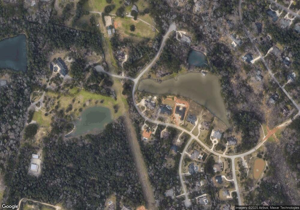
Map
Nearby Homes
- 7373 Teaswood Dr
- 10362 Hunter Creek Ln
- 12 Robin Trail
- 10332 Hunter Creek Ln
- 10926 Kaleo Way
- 6970 Longmire Rd
- 10308 Paradise Valley Dr
- 7393 Teaswood Dr
- 7389 Teaswood
- 2260 Teas Crossing Dr
- 26 Royal Dalton Cir
- 5431 Pine Springs Ct
- 3544 Woods Estates Dr
- 10265 Paradise Valley
- 7417 Teaswood Dr
- 1 Fairmont Ct
- 2010 Bluff Oak Ct
- 1928 Velvet Oak Ln
- 2051 W Darlington Oak Ct
- 2007 Bluff Oak Ct
- 6162 Slick Rock Dr
- 6165 Slick Rock Dr
- 6160 Slick Rock Dr
- 6163 Slick Rock Dr
- 7 Curtis Creek
- 7 Curtis Creek Ct
- 6170 Slick Rock Dr
- 6158 Slick Rock Dr
- 6161 Slick Rock Dr
- 6 Wayne Bennette Ct
- 6156 Slick Rock Dr
- 1 Quinns Cabin Ct
- 11 Quinn's Cabin Ct
- 1 Quinn's Cabin Ct
- 6174 Slick Rock Dr
- 6154 Slick Rock Dr
- 9 Quinns Cabin Ct
- 2 Quinn's Cabin Ct
- 6176 Slick Rock Dr Dr
- 6152 Slick Rock Dr