Estimated Value: $960,070 - $1,052,000
4
Beds
2
Baths
2,608
Sq Ft
$382/Sq Ft
Est. Value
About This Home
This home is located at 61645 SE Thunder Rd, Bend, OR 97702 and is currently estimated at $996,768, approximately $382 per square foot. 61645 SE Thunder Rd is a home located in Deschutes County with nearby schools including Silver Rail Elementary School, High Desert Middle School, and Bend Senior High School.
Ownership History
Date
Name
Owned For
Owner Type
Purchase Details
Closed on
Sep 27, 2012
Sold by
Lathrop Matthew G and Lathrop Zenita A
Bought by
Naslund Julie and Nevill Michael
Current Estimated Value
Purchase Details
Closed on
Jan 30, 2006
Sold by
Maunder Michael S
Bought by
Lathrop Matthew G and Lathrop Zenita A
Home Financials for this Owner
Home Financials are based on the most recent Mortgage that was taken out on this home.
Original Mortgage
$399,900
Interest Rate
6.28%
Mortgage Type
Fannie Mae Freddie Mac
Create a Home Valuation Report for This Property
The Home Valuation Report is an in-depth analysis detailing your home's value as well as a comparison with similar homes in the area
Purchase History
| Date | Buyer | Sale Price | Title Company |
|---|---|---|---|
| Naslund Julie | $325,000 | First American Title | |
| Lathrop Matthew G | $499,900 | Western Title & Escrow Co | |
| Maunder Michael S | -- | Western Title & Escrow Co |
Source: Public Records
Mortgage History
| Date | Status | Borrower | Loan Amount |
|---|---|---|---|
| Previous Owner | Lathrop Matthew G | $399,900 |
Source: Public Records
Tax History
| Year | Tax Paid | Tax Assessment Tax Assessment Total Assessment is a certain percentage of the fair market value that is determined by local assessors to be the total taxable value of land and additions on the property. | Land | Improvement |
|---|---|---|---|---|
| 2025 | $5,002 | $333,900 | -- | -- |
| 2024 | $4,785 | $324,180 | -- | -- |
| 2023 | $4,503 | $314,740 | $0 | $0 |
| 2022 | $4,152 | $296,680 | $0 | $0 |
| 2021 | $4,178 | $288,040 | $0 | $0 |
| 2020 | $3,945 | $288,040 | $0 | $0 |
| 2019 | $3,833 | $279,660 | $0 | $0 |
| 2018 | $3,721 | $271,520 | $0 | $0 |
| 2017 | $3,623 | $263,620 | $0 | $0 |
| 2016 | $3,442 | $255,950 | $0 | $0 |
| 2015 | $3,346 | $248,500 | $0 | $0 |
| 2014 | $3,238 | $241,270 | $0 | $0 |
Source: Public Records
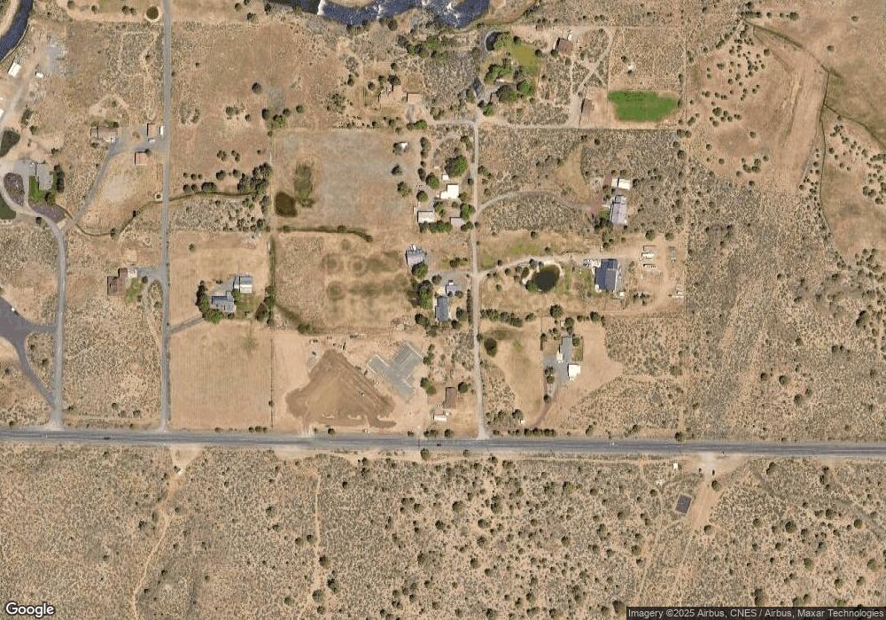
Map
Nearby Homes
- 21232 SE Pelee Dr
- 21221 SE Pelee Dr
- 21220 SE Pelee Dr
- 21224 SE Pelee Dr
- 21311 Wilderness Way
- 21305 SE Wilderness Way
- 21708 SE Stromboli Ln
- 21532 SE Etna Place
- 21309 Wilderness Way
- 21228 SE Pelee Dr
- 21848 SE Stromboli Ct Unit Lot 112
- 21836 SE Stromboli Ct Unit Lot 115
- 21837 SE Stromboli Ct
- 21408 SE Krakatoa Ct
- 21657 SE Fuji Dr
- 21841 SE Stromboli Ct Unit Lot 96
- 21653 SE Fuji Dr
- 21416 SE Krakatoa Ct Unit Lot 102
- 21428 SE Krakatoa Ct Unit Lot 99
- 21412 SE Krakatoa Ct Unit Lot 103
- 61661 Thunder Rd
- 21420 Stevens Rd
- 21390 Stevens Rd
- 61677 Thunder Rd
- 21470 Stevens Rd
- 61644 Thunder Rd
- 21370 Stevens Rd
- 61676 Thunder Rd
- 21360 Stevens Rd
- 21350 Stevens Rd
- 61730 Gibson Dr
- 21330 Stevens Rd
- 21374 Stevens Rd
- 61710 Gibson Dr
- 61740 Gibson Dr
- 61750 Gibson Dr
- 21310 Stevens Rd
- 61656 Kaci Ln
- 61660 Kaci Ln
Your Personal Tour Guide
Ask me questions while you tour the home.