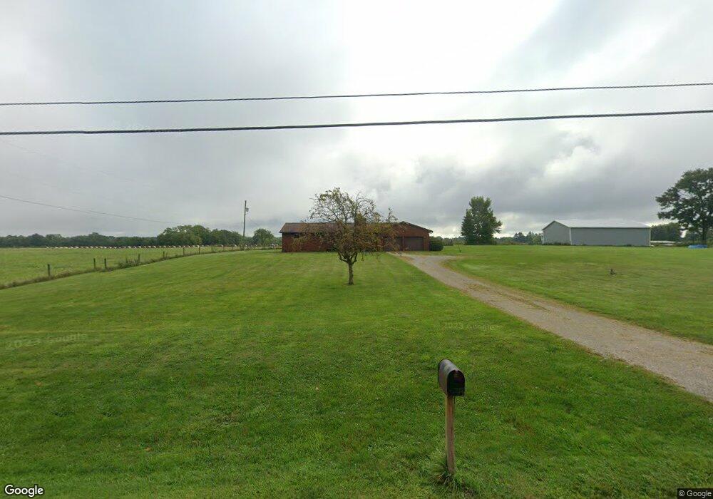
6165 State Route 61 Mount Gilead, OH 43338
Estimated Value: $260,000 - $359,000
3
Beds
2
Baths
1,644
Sq Ft
$187/Sq Ft
Est. Value
About This Home
This home is located at 6165 State Route 61, Mount Gilead, OH 43338 and is currently estimated at $307,931, approximately $187 per square foot. 6165 State Route 61 is a home located in Morrow County with nearby schools including Park Avenue Elementary School, Mt Gilead Middle School, and Mt Gilead High School.
Ownership History
Date
Name
Owned For
Owner Type
Purchase Details
Closed on
May 11, 2021
Sold by
Shirk Gene C and Shirk Donna J
Bought by
Shirk Family Irt
Current Estimated Value
Purchase Details
Closed on
Feb 4, 2013
Sold by
Shirk Gene C and Shirk Donna J
Bought by
Shirk Gene C and Shirk Donna J
Purchase Details
Closed on
Apr 1, 1978
Bought by
Shirk Gene C
Create a Home Valuation Report for This Property
The Home Valuation Report is an in-depth analysis detailing your home's value as well as a comparison with similar homes in the area
Home Values in the Area
Average Home Value in this Area
Purchase History
| Date | Buyer | Sale Price | Title Company |
|---|---|---|---|
| Shirk Family Irt | -- | None Available | |
| Shirk Gene C | -- | -- | |
| Shirk Gene C | -- | -- |
Source: Public Records
Tax History Compared to Growth
Tax History
| Year | Tax Paid | Tax Assessment Tax Assessment Total Assessment is a certain percentage of the fair market value that is determined by local assessors to be the total taxable value of land and additions on the property. | Land | Improvement |
|---|---|---|---|---|
| 2024 | $3,450 | $85,610 | $10,010 | $75,600 |
| 2023 | $3,450 | $85,610 | $10,010 | $75,600 |
| 2022 | $2,769 | $61,640 | $5,950 | $55,690 |
| 2021 | $2,624 | $61,640 | $5,950 | $55,690 |
| 2020 | $2,625 | $61,640 | $5,950 | $55,690 |
| 2019 | $2,224 | $51,810 | $5,010 | $46,800 |
| 2018 | $2,225 | $51,810 | $5,010 | $46,800 |
| 2017 | $2,194 | $51,810 | $5,010 | $46,800 |
| 2016 | $1,944 | $45,780 | $4,410 | $41,370 |
| 2015 | $1,823 | $45,780 | $4,410 | $41,370 |
| 2014 | $1,852 | $45,780 | $4,410 | $41,370 |
| 2013 | $1,846 | $48,200 | $4,660 | $43,540 |
Source: Public Records
Map
Nearby Homes
- 5720 County Road 30
- 4681 County Road 101
- 0 Tamarack Unit 223034150
- 3341 Township Highway 145
- 4021 County Road 61
- 0 Iberia St
- 186 Iberia St
- 6400 County Road 9
- 0 Lee St
- 69 N Cherry St
- 574 Buckeye Ln
- 236 W High St
- 264 W High St
- 362 W High St
- 250 S Main St
- 669 Baker St
- 730 W Marion St
- 106 William St
- 320 State St
- 5280 Township Road 103
- 6153 State Route 61
- 6174 State Route 61
- 3879 Township Road 99
- 6180 State Route 61
- 6219 State Route 61
- 6130 State Route 61
- 6100 State Route 61
- 4038 Township Road 99
- 4038 Twp Road 99
- 4052 Township Road 99
- 6085 State Route 61
- 6083 State Route 61
- 4074 Township Road 99
- 6240 State Route 61
- 6080 Street
- 6080 Ohio 61
- 6250 State Route 61
- 6075 State Route 61
- 6080 State Route 61
- 4102 Township Road 99