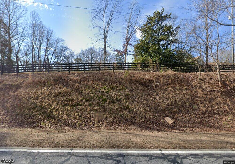
6167 New Liberty Rd Clarkesville, GA 30523
Estimated Value: $414,000 - $563,000
5
Beds
4
Baths
2,340
Sq Ft
$197/Sq Ft
Est. Value
About This Home
This home is located at 6167 New Liberty Rd, Clarkesville, GA 30523 and is currently estimated at $460,663, approximately $196 per square foot. 6167 New Liberty Rd is a home located in Habersham County with nearby schools including Woodville Elementary School, North Habersham Middle School, and Habersham Success Academy.
Ownership History
Date
Name
Owned For
Owner Type
Purchase Details
Closed on
Dec 30, 2020
Sold by
Conner Carol J
Bought by
Brusco Cindy Michelle
Current Estimated Value
Purchase Details
Closed on
Jun 1, 2010
Sold by
Powell Myra D
Bought by
Conner Carol J
Purchase Details
Closed on
Oct 1, 2006
Sold by
Not Provided
Bought by
Conner Carol J
Create a Home Valuation Report for This Property
The Home Valuation Report is an in-depth analysis detailing your home's value as well as a comparison with similar homes in the area
Home Values in the Area
Average Home Value in this Area
Purchase History
| Date | Buyer | Sale Price | Title Company |
|---|---|---|---|
| Brusco Cindy Michelle | $40,000 | -- | |
| Conner Carol J | -- | -- | |
| Conner Carol J | $215,000 | -- |
Source: Public Records
Tax History Compared to Growth
Tax History
| Year | Tax Paid | Tax Assessment Tax Assessment Total Assessment is a certain percentage of the fair market value that is determined by local assessors to be the total taxable value of land and additions on the property. | Land | Improvement |
|---|---|---|---|---|
| 2025 | $3,571 | $147,845 | $21,875 | $125,970 |
| 2024 | $3,795 | $146,224 | $13,264 | $132,960 |
| 2023 | $3,087 | $123,460 | $13,264 | $110,196 |
| 2022 | $2,774 | $106,380 | $11,704 | $94,676 |
| 2021 | $2,512 | $96,772 | $11,704 | $85,068 |
| 2020 | $2,258 | $83,960 | $11,704 | $72,256 |
| 2019 | $2,260 | $83,960 | $11,704 | $72,256 |
| 2018 | $2,243 | $83,960 | $11,704 | $72,256 |
| 2017 | $0 | $78,280 | $11,704 | $66,576 |
| 2016 | $2,041 | $195,700 | $11,704 | $66,576 |
| 2015 | -- | $195,700 | $11,704 | $66,576 |
| 2014 | $2,010 | $191,380 | $11,704 | $64,848 |
| 2013 | -- | $76,552 | $11,704 | $64,848 |
Source: Public Records
Map
Nearby Homes
- 135 Mountain Ridge Dr
- LOT 36 Mountain Ridge Dr
- 150 Blue Jay Rd
- 5265 New Liberty Rd
- 0 Barney Field Rd Unit 110.9 AC 10472662
- 4850 New Liberty Rd
- 1688 Ben Jones Rd
- 0 Mountain Ridge Dr Unit 7628449
- 0 Soque Falls Circle Lot 34
- 1613 Duchess Ln
- 1064 Annandale Dr
- 495 Annandale Dr
- 0 Ben Jones Rd Unit 7377215
- 0 Ben Jones Rd Unit 10021237
- 0 Ben Jones Rd Unit 20180428
- 628 Roberston Loop
- 0 Harvest Church Road Lot #1 Rd Unit 7650701
- 501 the Orchard Rd
- 194 Pinecrest Rd
- 945 Hank Fry Rd
- 6139 New Liberty Rd
- 0 Mountain Ridge Dr Lot 29 Unit LOT 29 20052634
- 39 Mountain Ridge Dr
- 5770 New Liberty Rd
- 0 Mountain Ridge Dr NE Unit 2 9063135
- 6389 New Liberty Rd
- 5724 New Liberty Rd
- 5694 New Liberty Rd
- 310 Blue Jay Rd
- 5700 New Liberty Rd
- 868 Mountain Glen Ct
- 42 Mountain Ridge Dr
- 400 Mountain Ridge Dr
- 151 May Brook Dr
- 0 Mountain Edge Way Unit 7390101
- 0 Mountain Edge Way Unit 10225489
- 0 Mountain Edge Way Unit 7303940
- 163 May Brook Dr
- 321 May Brook Dr
- 659 Mountain Sweet
