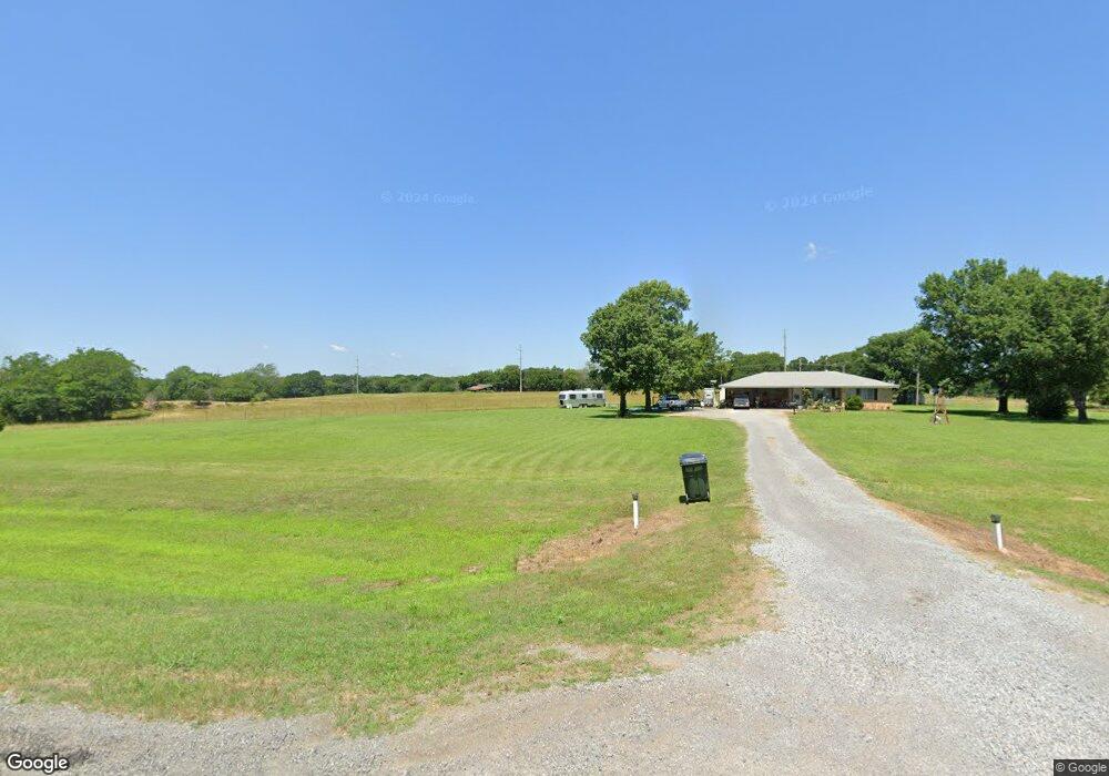
6167 SW Highway 270 Wilburton, OK 74578
Estimated Value: $125,000 - $178,000
3
Beds
2
Baths
1,534
Sq Ft
$95/Sq Ft
Est. Value
About This Home
This home is located at 6167 SW Highway 270, Wilburton, OK 74578 and is currently estimated at $146,346, approximately $95 per square foot. 6167 SW Highway 270 is a home located in Latimer County with nearby schools including Wilburton Elementary School and Wilburton High School.
Ownership History
Date
Name
Owned For
Owner Type
Purchase Details
Closed on
Jan 21, 2021
Sold by
Grego James G and Grego Sandra F
Bought by
Hugle Janet and Hugle Rodney
Current Estimated Value
Purchase Details
Closed on
Oct 11, 2019
Sold by
Grego James G and Grego Sandra F
Bought by
Hugle Janet and Hugle Rodney
Purchase Details
Closed on
Jan 31, 2012
Sold by
Federal National Mortgage Association
Bought by
Grego James G
Purchase Details
Closed on
Oct 29, 2004
Sold by
Glenda David and Glenda Travis
Bought by
Randall Mathis
Create a Home Valuation Report for This Property
The Home Valuation Report is an in-depth analysis detailing your home's value as well as a comparison with similar homes in the area
Home Values in the Area
Average Home Value in this Area
Purchase History
| Date | Buyer | Sale Price | Title Company |
|---|---|---|---|
| Hugle Janet | -- | Adams Title Advantage Inc | |
| Hugle Janet | $85,000 | Adams Abstract Co Inc | |
| Grego James G | $34,900 | Oklahoma Reo Closing & Title | |
| Randall Mathis | $63,000 | -- |
Source: Public Records
Tax History Compared to Growth
Tax History
| Year | Tax Paid | Tax Assessment Tax Assessment Total Assessment is a certain percentage of the fair market value that is determined by local assessors to be the total taxable value of land and additions on the property. | Land | Improvement |
|---|---|---|---|---|
| 2025 | -- | $5,912 | $1,090 | $4,822 |
| 2024 | -- | $5,740 | $1,058 | $4,682 |
| 2023 | $0 | $5,573 | $1,053 | $4,520 |
| 2022 | $0 | $5,411 | $1,048 | $4,363 |
| 2021 | $0 | $5,253 | $1,014 | $4,239 |
| 2020 | $495 | $5,003 | $959 | $4,044 |
| 2019 | $473 | $4,765 | $974 | $3,791 |
| 2018 | $451 | $4,538 | $974 | $3,564 |
| 2017 | $427 | $4,322 | $974 | $3,348 |
| 2016 | $413 | $4,116 | $974 | $3,142 |
| 2015 | -- | $3,920 | $974 | $2,946 |
| 2014 | $332 | $3,920 | $974 | $2,946 |
Source: Public Records
Map
Nearby Homes
- 4717 NW 123rd Rd
- 0 NW 1030th Ave
- 595 NW 1025th Ave
- 0 NW 123rd Rd
- 0 SE 102nd Rd Unit 2537808
- 10868 SW Gowen Rd
- Tract 5 SE 179th
- TBD Rural Latimer
- Tract 2 SE 179th
- Tract 3 SE 179th
- 154 SE 179th
- Tract 6 SE 179th
- 674 SW Cravens Rd
- 0 Oklahoma 2
- 611 SW 9th St
- 000 S West 120th Rd
- 2800 NW 1010 Ave
- 801 W Durant Ave
- 2800 NW 1010th Ave
- 0 Hackney Hill
- 6125 Highway 270 W
- 6230 NW Bowers Rd
- 6140 SW Highway 270
- 6162 NW Bowers Rd
- 6367 NW Bowers Rd
- 6395 NW Bowers Rd
- 65 SW 1060th Ave
- 6185 NW Bowers Rd
- 6179 NW Bowers Rd
- 78 NW 1060th Ave
- 5983 NW Bowers Rd
- 294 SW 1060th Ave
- 0 NW 1060th Ave Unit 928814
- 0 NW 1060th Ave Unit 77 920086
- 0 NW 1060th Ave Unit 76 920064
- 248 SW 1060th Ave
- 99 NW 1060th Ave
- 254 SW 1060th Ave
- 337 SW 1065th Ave
- 175 NW 1060th Ave