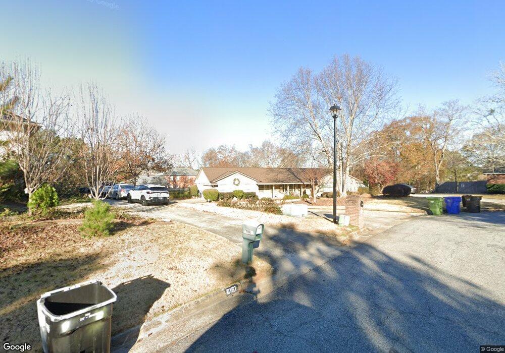
6169 Cape Cod Ct Columbus, GA 31904
North Columbus NeighborhoodEstimated Value: $337,416 - $437,000
3
Beds
3
Baths
2,280
Sq Ft
$161/Sq Ft
Est. Value
About This Home
This home is located at 6169 Cape Cod Ct, Columbus, GA 31904 and is currently estimated at $366,354, approximately $160 per square foot. 6169 Cape Cod Ct is a home located in Muscogee County with nearby schools including River Road Elementary School, Double Churches Middle School, and Northside High School.
Ownership History
Date
Name
Owned For
Owner Type
Purchase Details
Closed on
May 16, 2008
Sold by
Dunlap Sandra C and Foster Mary Anne
Bought by
Wiggins Shawn A and Wiggins Kimberley O
Current Estimated Value
Home Financials for this Owner
Home Financials are based on the most recent Mortgage that was taken out on this home.
Original Mortgage
$165,000
Outstanding Balance
$105,256
Interest Rate
6.02%
Mortgage Type
Purchase Money Mortgage
Estimated Equity
$261,098
Create a Home Valuation Report for This Property
The Home Valuation Report is an in-depth analysis detailing your home's value as well as a comparison with similar homes in the area
Home Values in the Area
Average Home Value in this Area
Purchase History
| Date | Buyer | Sale Price | Title Company |
|---|---|---|---|
| Wiggins Shawn A | $235,000 | None Available |
Source: Public Records
Mortgage History
| Date | Status | Borrower | Loan Amount |
|---|---|---|---|
| Open | Wiggins Shawn A | $165,000 |
Source: Public Records
Tax History
| Year | Tax Paid | Tax Assessment Tax Assessment Total Assessment is a certain percentage of the fair market value that is determined by local assessors to be the total taxable value of land and additions on the property. | Land | Improvement |
|---|---|---|---|---|
| 2025 | $3,501 | $114,524 | $24,824 | $89,700 |
| 2024 | $3,499 | $114,524 | $24,824 | $89,700 |
| 2023 | $283 | $114,524 | $24,824 | $89,700 |
| 2022 | $3,650 | $100,260 | $24,824 | $75,436 |
| 2021 | $3,643 | $92,232 | $24,824 | $67,408 |
| 2020 | $3,644 | $92,232 | $24,824 | $67,408 |
| 2019 | $3,657 | $92,232 | $24,824 | $67,408 |
| 2018 | $3,657 | $92,232 | $24,824 | $67,408 |
| 2017 | $3,671 | $92,232 | $24,824 | $67,408 |
| 2016 | $3,685 | $102,609 | $9,164 | $93,445 |
| 2015 | $3,690 | $102,609 | $9,164 | $93,445 |
| 2014 | $3,695 | $102,609 | $9,164 | $93,445 |
| 2013 | -- | $102,609 | $9,164 | $93,445 |
Source: Public Records
Map
Nearby Homes
- 6130 Bristol Blvd
- 5 Bridgecreek Ct
- 6333 Cape Cod Dr
- 6390 Cape Cod Dr
- 6101 River Rd Unit 14
- 6101 River Rd Unit 2
- 16 Kylemore Ct
- 222 Cascade Rd
- 254 Cascade Rd
- 5616 Morris Ave
- 831 53rd St
- 5602 Morris Ave
- 258 Cascade Rd
- 306 Cascade Rd
- 280 Zachary Ct
- 7015 Spring Walk Dr
- 7044 Spring Walk Dr
- 6528 Standing Boy Rd
- 6861 Copper Oaks Ct
- 1016 53rd St
- 6173 Cape Cod Ct
- 6120 Brookstone Blvd
- 6161 Cape Cod Ct
- 6110 Brookstone Blvd
- 6140 Brookstone Blvd
- 6170 Cape Cod Ct
- 6153 Cape Cod Ct
- 6157 Bristol Blvd
- 6162 Cape Cod Ct
- 6100 Brookstone Blvd
- 6153 Bristol Blvd
- 6150 Brookstone Blvd
- 6152 Cape Cod Ct
- 6149 Bristol Blvd
- 6145 Cape Cod Ct
- 6137 Bristol Blvd
- 6044 Brookstone Blvd
- 6127 Bristol Blvd
- 6144 Cape Cod Ct
- 6141 Brookstone Blvd