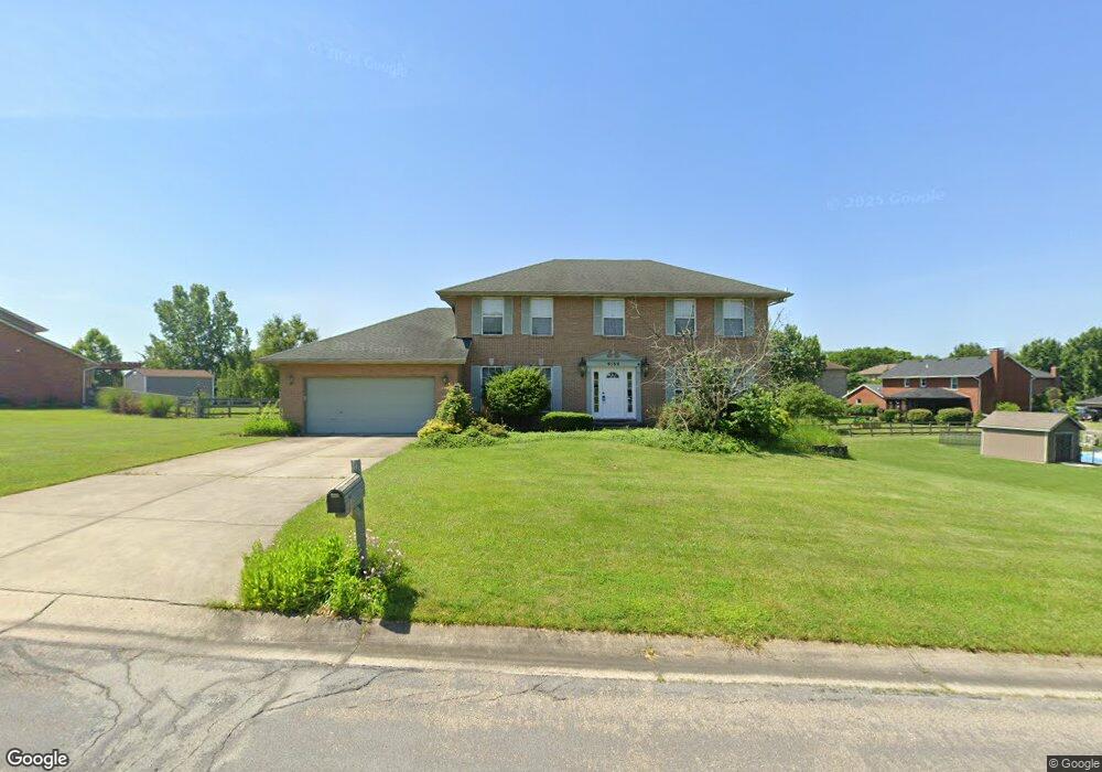
6169 Hillsdale Ln West Chester, OH 45069
West Chester Township NeighborhoodEstimated Value: $462,435 - $486,000
4
Beds
3
Baths
3,174
Sq Ft
$149/Sq Ft
Est. Value
About This Home
This home is located at 6169 Hillsdale Ln, West Chester, OH 45069 and is currently estimated at $472,109, approximately $148 per square foot. 6169 Hillsdale Ln is a home located in Butler County with nearby schools including Freedom Elementary School, Lakota Ridge Junior School, and Lakota West High School.
Ownership History
Date
Name
Owned For
Owner Type
Purchase Details
Closed on
Nov 30, 2021
Sold by
Tseng Ching Hui and Peng Jui Chin
Bought by
Zhang Limin and Lou Hong
Current Estimated Value
Home Financials for this Owner
Home Financials are based on the most recent Mortgage that was taken out on this home.
Original Mortgage
$262,500
Outstanding Balance
$241,366
Interest Rate
3.09%
Mortgage Type
New Conventional
Estimated Equity
$230,743
Purchase Details
Closed on
Jul 24, 1996
Sold by
Kurtz Michael W
Bought by
Tseng Ching and Tseng Hui
Home Financials for this Owner
Home Financials are based on the most recent Mortgage that was taken out on this home.
Original Mortgage
$125,600
Interest Rate
7.75%
Mortgage Type
New Conventional
Purchase Details
Closed on
Sep 13, 1993
Create a Home Valuation Report for This Property
The Home Valuation Report is an in-depth analysis detailing your home's value as well as a comparison with similar homes in the area
Home Values in the Area
Average Home Value in this Area
Purchase History
| Date | Buyer | Sale Price | Title Company |
|---|---|---|---|
| Zhang Limin | $350,000 | None Available | |
| Tseng Ching | $157,000 | -- | |
| -- | $147,400 | -- |
Source: Public Records
Mortgage History
| Date | Status | Borrower | Loan Amount |
|---|---|---|---|
| Open | Zhang Limin | $262,500 | |
| Previous Owner | Tseng Ching | $125,600 |
Source: Public Records
Tax History Compared to Growth
Tax History
| Year | Tax Paid | Tax Assessment Tax Assessment Total Assessment is a certain percentage of the fair market value that is determined by local assessors to be the total taxable value of land and additions on the property. | Land | Improvement |
|---|---|---|---|---|
| 2024 | $5,094 | $120,470 | $17,150 | $103,320 |
| 2023 | $5,058 | $128,190 | $17,150 | $111,040 |
| 2022 | $5,328 | $93,400 | $17,150 | $76,250 |
| 2021 | $4,735 | $89,770 | $17,150 | $72,620 |
| 2020 | $4,847 | $89,770 | $17,150 | $72,620 |
| 2019 | $7,075 | $73,830 | $18,710 | $55,120 |
| 2018 | $4,182 | $73,830 | $18,710 | $55,120 |
| 2017 | $4,256 | $73,830 | $18,710 | $55,120 |
| 2016 | $4,341 | $70,910 | $18,710 | $52,200 |
| 2015 | $4,348 | $70,910 | $18,710 | $52,200 |
| 2014 | $4,467 | $70,910 | $18,710 | $52,200 |
| 2013 | $4,467 | $71,030 | $18,710 | $52,320 |
Source: Public Records
Map
Nearby Homes
- 8222 Lindfield Dr
- 6241 Skyline Dr
- 6036 Bardean Dr
- 8164 Foxdale Ct
- 5911 Hazeltine Ct
- 8062 Kennesaw Dr
- 7948 Bayer Dr
- 8583 Kates Way
- 7886 Lesourdsville West Chester Rd
- 7947 Kennesaw Dr
- 6210 Cardington Place
- 7913 Merryman Way
- 6387 Coachlight Way
- 7856 Chantilly Dr
- 6084 Tylersville Rd
- 5648 Eagle Nest Ct
- 5769 Forge Bridge Dr
- 8672 Rupp Farm Dr
- 8831 Eagleview Dr
- 8871 Timberchase Ct
- 6193 Hillsdale Ln
- 8276 Beckett Station Dr
- 8266 Beckett Station Dr
- 8286 Beckett Station Dr
- 6174 Hillsdale Ln
- 6184 Hillsdale Ln
- 6213 Hillsdale Ln
- 87 Beckett Station Dr Unit 87
- 8296 Beckett Station Dr
- 8246 Beckett Station Dr
- 6164 Hillsdale Ln
- 6223 Hillsdale Ln
- 6194 Hillsdale Ln
- 8306 Beckett Station Dr
- 6204 Hillsdale Ln
- 8234 Beckett Station Dr
- 8275 Beckett Station Dr
- 8265 Beckett Station Dr
- 6214 Hillsdale Ln
- 8285 Beckett Station Dr