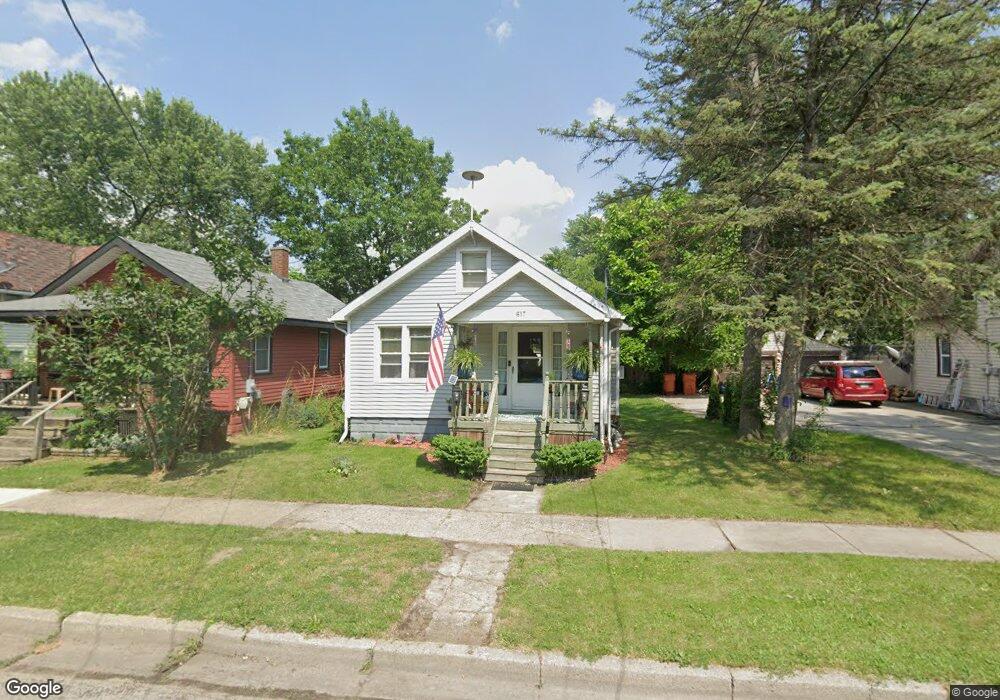
617 Alger St Owosso, MI 48867
Estimated Value: $82,000 - $128,000
2
Beds
1
Bath
906
Sq Ft
$113/Sq Ft
Est. Value
About This Home
This home is located at 617 Alger St, Owosso, MI 48867 and is currently estimated at $102,796, approximately $113 per square foot. 617 Alger St is a home located in Shiawassee County with nearby schools including Owosso High School, St. Paul Catholic School, and St. Paul School.
Ownership History
Date
Name
Owned For
Owner Type
Purchase Details
Closed on
Dec 1, 2014
Sold by
Schad Tina and Smith Tina
Bought by
C&S Rentals Llc
Current Estimated Value
Purchase Details
Closed on
Sep 30, 2002
Sold by
Arnett Greg B and Arnett Greg
Bought by
Smith Tina
Home Financials for this Owner
Home Financials are based on the most recent Mortgage that was taken out on this home.
Original Mortgage
$57,230
Interest Rate
6.39%
Create a Home Valuation Report for This Property
The Home Valuation Report is an in-depth analysis detailing your home's value as well as a comparison with similar homes in the area
Home Values in the Area
Average Home Value in this Area
Purchase History
| Date | Buyer | Sale Price | Title Company |
|---|---|---|---|
| C&S Rentals Llc | $31,000 | None Available | |
| Smith Tina | $59,000 | Multiple |
Source: Public Records
Mortgage History
| Date | Status | Borrower | Loan Amount |
|---|---|---|---|
| Previous Owner | Smith Tina | $57,230 |
Source: Public Records
Tax History Compared to Growth
Tax History
| Year | Tax Paid | Tax Assessment Tax Assessment Total Assessment is a certain percentage of the fair market value that is determined by local assessors to be the total taxable value of land and additions on the property. | Land | Improvement |
|---|---|---|---|---|
| 2025 | $1,295 | $29,900 | $0 | $0 |
| 2024 | $1,295 | $27,600 | $0 | $0 |
| 2023 | $575 | $24,800 | $0 | $0 |
| 2022 | $1,248 | $22,600 | $0 | $0 |
| 2021 | $1,191 | $21,500 | $0 | $0 |
| 2020 | $1,213 | $20,400 | $0 | $0 |
| 2019 | $1,192 | $18,600 | $0 | $0 |
| 2018 | -- | $18,400 | $0 | $0 |
| 2017 | -- | $18,400 | $0 | $0 |
| 2016 | -- | $18,400 | $0 | $0 |
| 2015 | -- | $18,000 | $0 | $0 |
| 2014 | -- | $19,300 | $0 | $0 |
Source: Public Records
Map
Nearby Homes
- 808 Corunna Ave
- 702 Glenwood Ave
- 609 Broadway Ave
- 915 Corunna Ave
- 827 Lingle Ave
- 619 Huron St
- 942 Division St
- 808 Division St
- 432 Oakwood Ave
- 405 Huron St
- 222 Corunna Ave
- 1605 Corunna Ave
- 611 Beck Ave
- 1403 Melinda St
- 811 S Ball St
- 624 E Comstock St
- 540 E Comstock St
- 209 W Stewart St
- 709 Linwood St
- 800 E Main St