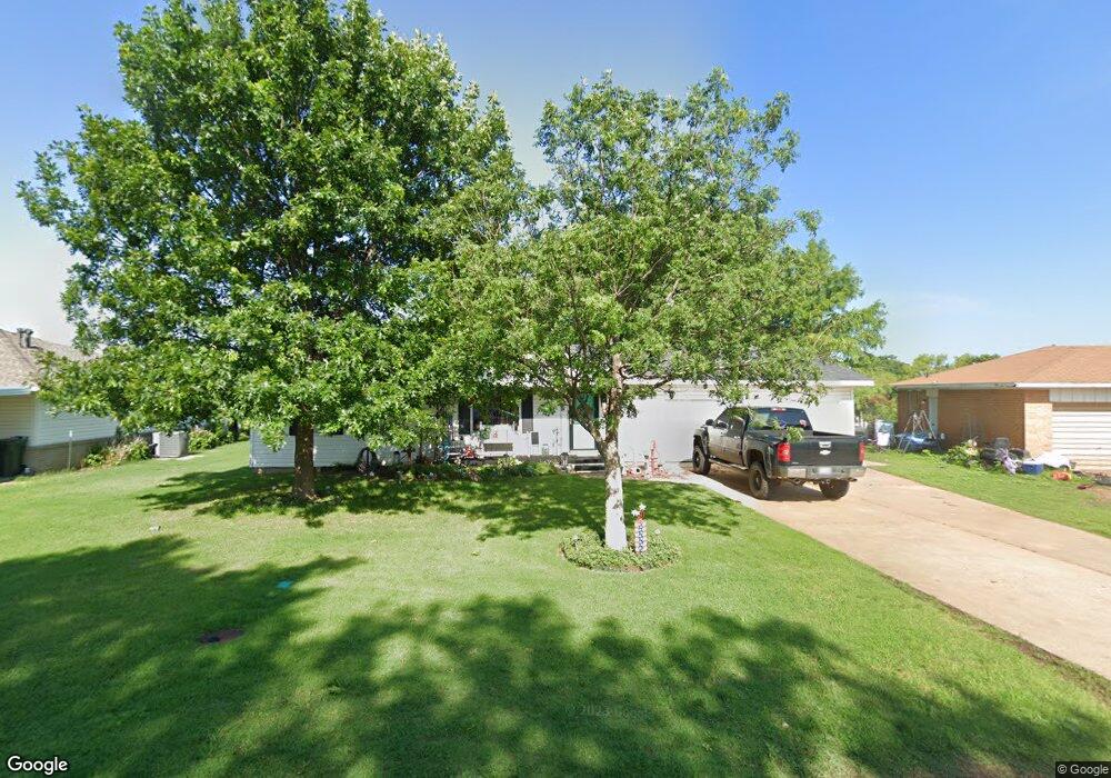
617 Circle Dr Watonga, OK 73772
Estimated Value: $88,000 - $116,000
3
Beds
2
Baths
1,176
Sq Ft
$85/Sq Ft
Est. Value
About This Home
This home is located at 617 Circle Dr, Watonga, OK 73772 and is currently estimated at $100,519, approximately $85 per square foot. 617 Circle Dr is a home located in Blaine County with nearby schools including Watonga Elementary School, Watonga Middle School, and Watonga High School.
Ownership History
Date
Name
Owned For
Owner Type
Purchase Details
Closed on
Jan 15, 2020
Sold by
Speyers Cassidy W
Bought by
Gooden Marion D
Current Estimated Value
Purchase Details
Closed on
Sep 19, 2008
Sold by
Powell Arlene
Bought by
Powell Arlene and Speyers Cassidy W
Purchase Details
Closed on
Feb 2, 1996
Sold by
Poarch Construction
Bought by
Powell Earl and Powell Arlene
Purchase Details
Closed on
Jun 6, 1995
Sold by
Linder Wesley and Linder Flora
Bought by
Poarch Construction
Purchase Details
Closed on
Jun 29, 1994
Sold by
Gibson Brenda K
Bought by
Linder Wesley and Linder Flora
Create a Home Valuation Report for This Property
The Home Valuation Report is an in-depth analysis detailing your home's value as well as a comparison with similar homes in the area
Home Values in the Area
Average Home Value in this Area
Purchase History
| Date | Buyer | Sale Price | Title Company |
|---|---|---|---|
| Gooden Marion D | $73,000 | None Available | |
| Powell Arlene | -- | -- | |
| Powell Earl | $49,500 | -- | |
| Poarch Construction | $4,500 | -- | |
| Linder Wesley | $2,000 | -- |
Source: Public Records
Tax History
| Year | Tax Paid | Tax Assessment Tax Assessment Total Assessment is a certain percentage of the fair market value that is determined by local assessors to be the total taxable value of land and additions on the property. | Land | Improvement |
|---|---|---|---|---|
| 2025 | $429 | $4,153 | $432 | $3,721 |
| 2024 | $404 | $4,154 | $409 | $3,745 |
| 2023 | $404 | $4,154 | $503 | $3,651 |
| 2022 | $452 | $4,154 | $304 | $3,850 |
| 2021 | $409 | $4,154 | $304 | $3,850 |
| 2020 | $307 | $4,153 | $895 | $3,258 |
| 2019 | $313 | $4,153 | $895 | $3,258 |
| 2018 | $326 | $4,153 | $895 | $3,258 |
| 2017 | $431 | $5,052 | $289 | $4,763 |
| 2016 | $459 | $5,052 | $289 | $4,763 |
| 2015 | $409 | $5,052 | $289 | $4,763 |
| 2014 | $326 | $5,052 | $289 | $4,763 |
Source: Public Records
Map
Nearby Homes
- 632 Circle Dr
- 515 W 4th St
- 419 N Harmon Ave
- 415 N Harmon Ave
- 502 W 4th St
- 403 N Harmon Ave
- 319 N Wikoff Ave
- 615 & 617 N Wikoff
- 323 W 3rd St
- 320 W 2nd St
- 401 N Leach Ave
- 309 W 2nd St
- 826 Hillcrest Dr
- 114 N Leach Ave Unit 116 118 & 120 N Leac
- 521 N Noble Ave
- 100 W 3rd St
- 1007 N Market Ave
- 1200 W Main St
- 1221 W Main St
- 924 N Prouty Ave
Your Personal Tour Guide
Ask me questions while you tour the home.