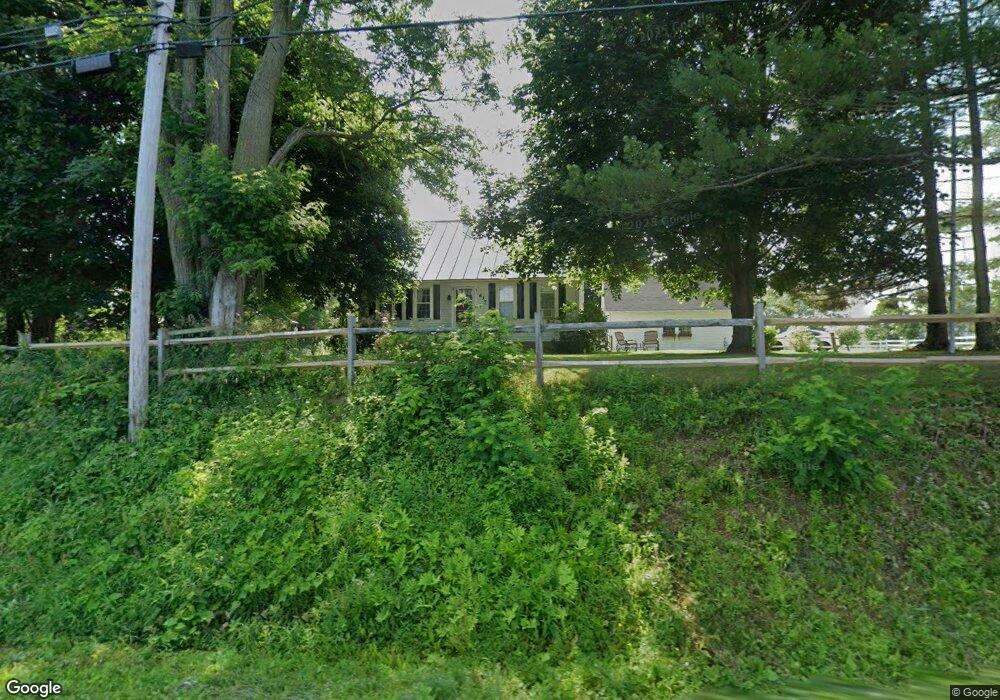
617 Clinton Ave Winslow, ME 04901
Estimated Value: $289,000 - $382,000
3
Beds
1
Bath
1,644
Sq Ft
$192/Sq Ft
Est. Value
About This Home
This home is located at 617 Clinton Ave, Winslow, ME 04901 and is currently estimated at $314,960, approximately $191 per square foot. 617 Clinton Ave is a home located in Kennebec County with nearby schools including Winslow Elementary School, Winslow Junior High School, and Winslow High School.
Ownership History
Date
Name
Owned For
Owner Type
Purchase Details
Closed on
Oct 31, 2006
Sold by
Coffin Cheryl M and Coffin Mark A
Bought by
Carver Julie A
Current Estimated Value
Home Financials for this Owner
Home Financials are based on the most recent Mortgage that was taken out on this home.
Original Mortgage
$151,500
Outstanding Balance
$90,967
Interest Rate
6.48%
Mortgage Type
Purchase Money Mortgage
Estimated Equity
$223,993
Create a Home Valuation Report for This Property
The Home Valuation Report is an in-depth analysis detailing your home's value as well as a comparison with similar homes in the area
Home Values in the Area
Average Home Value in this Area
Purchase History
| Date | Buyer | Sale Price | Title Company |
|---|---|---|---|
| Carver Julie A | -- | -- |
Source: Public Records
Mortgage History
| Date | Status | Borrower | Loan Amount |
|---|---|---|---|
| Open | Carver Julie A | $151,500 |
Source: Public Records
Tax History Compared to Growth
Tax History
| Year | Tax Paid | Tax Assessment Tax Assessment Total Assessment is a certain percentage of the fair market value that is determined by local assessors to be the total taxable value of land and additions on the property. | Land | Improvement |
|---|---|---|---|---|
| 2024 | $3,593 | $239,500 | $30,500 | $209,000 |
| 2023 | $3,593 | $239,500 | $30,500 | $209,000 |
| 2022 | $2,449 | $139,800 | $23,500 | $116,300 |
| 2021 | $2,317 | $139,700 | $23,500 | $116,200 |
| 2020 | $2,159 | $139,700 | $23,500 | $116,200 |
| 2019 | $2,231 | $139,700 | $23,500 | $116,200 |
| 2018 | $2,506 | $139,700 | $23,500 | $116,200 |
| 2017 | $434 | $139,700 | $23,500 | $116,200 |
| 2016 | $2,199 | $139,700 | $23,500 | $116,200 |
| 2015 | $2,165 | $139,700 | $23,500 | $116,200 |
| 2014 | $2,165 | $139,700 | $23,500 | $116,200 |
Source: Public Records
Map
Nearby Homes
- 0 Olde Heritage Map 10 Lot 77-3 Place Unit 1628289
- 137 Heywood Rd
- Lot 4 Peachtree Ln
- 17 Hapworth Ln
- 24 Meadow View Ln
- 670 Benton Ave Unit 8
- 5 Chickadee Trail Unit 5
- 2 Whippoorwill Dr Unit 35
- 158 Clinton Ave
- 21 Cardinal Way
- 5 2nd St
- 1 Oakhill Terrace
- 3 Bunker Ave
- 5 Mar Val Terrace Unit B1
- 2 Blue Heron Ln
- 2 Gibson St
- 3 Blue Heron Ln
- 2 and 3 Blue Heron Ln
- 11 Poulin St
- 13 Poulin St
- 615 Clinton Ave
- 637 Clinton Ave
- 0 Mills Farm Rd Unit 877450
- 00 Confidential
- 0 Ardria Lane Route 139 Unit 1141106
- 0 Louise and Paul Ave Unit 1511674
- M13 L20-13 Bear Mountain Rd
- 605 Clinton Ave
- 585 Clinton Ave
- 575 Clinton Ave
- 480 Clinton Ave
- Lot 76A Clinton Ave
- 570 Clinton Ave
- 700 Clinton Ave
- 720 Clinton Ave
- 731 Clinton Ave
- 551 Clinton Ave
- 551 Clinton Ave
- 740 Clinton Ave
- 758 Garland Rd