617 Devon Ct Mickleton, NJ 08056
Estimated Value: $610,488 - $809,000
Studio
--
Bath
3,011
Sq Ft
$240/Sq Ft
Est. Value
About This Home
This home is located at 617 Devon Ct, Mickleton, NJ 08056 and is currently estimated at $723,872, approximately $240 per square foot. 617 Devon Ct is a home located in Gloucester County with nearby schools including Jeffrey Clark School, Samuel Mickle School, and Kingsway Regional Middle School.
Ownership History
Date
Name
Owned For
Owner Type
Purchase Details
Closed on
Jul 15, 2020
Sold by
Davis James R and Imburgia Laurie
Bought by
Sprang Matthew Charles and Sprang Tjitske Andrea
Current Estimated Value
Home Financials for this Owner
Home Financials are based on the most recent Mortgage that was taken out on this home.
Original Mortgage
$357,000
Outstanding Balance
$313,099
Interest Rate
3%
Mortgage Type
New Conventional
Estimated Equity
$410,773
Purchase Details
Closed on
Nov 14, 2001
Sold by
Dreambuilders Development Llc
Bought by
Davis James R and Imburgia Laurie
Home Financials for this Owner
Home Financials are based on the most recent Mortgage that was taken out on this home.
Original Mortgage
$220,000
Interest Rate
6.72%
Mortgage Type
Stand Alone First
Create a Home Valuation Report for This Property
The Home Valuation Report is an in-depth analysis detailing your home's value as well as a comparison with similar homes in the area
Home Values in the Area
Average Home Value in this Area
Purchase History
| Date | Buyer | Sale Price | Title Company |
|---|---|---|---|
| Sprang Matthew Charles | $450,000 | Old Republic Title | |
| Davis James R | $275,000 | First American Title Ins Co |
Source: Public Records
Mortgage History
| Date | Status | Borrower | Loan Amount |
|---|---|---|---|
| Open | Sprang Matthew Charles | $357,000 | |
| Previous Owner | Davis James R | $220,000 |
Source: Public Records
Tax History
| Year | Tax Paid | Tax Assessment Tax Assessment Total Assessment is a certain percentage of the fair market value that is determined by local assessors to be the total taxable value of land and additions on the property. | Land | Improvement |
|---|---|---|---|---|
| 2025 | $12,115 | $381,100 | $95,700 | $285,400 |
| 2024 | $11,730 | $381,100 | $95,700 | $285,400 |
| 2023 | $11,730 | $381,100 | $95,700 | $285,400 |
| 2022 | $11,399 | $381,100 | $95,700 | $285,400 |
| 2021 | $11,475 | $381,100 | $95,700 | $285,400 |
| 2020 | $11,528 | $381,100 | $95,700 | $285,400 |
| 2019 | $11,410 | $381,100 | $95,700 | $285,400 |
| 2018 | $12,730 | $386,100 | $109,500 | $276,600 |
| 2017 | $12,564 | $386,100 | $109,500 | $276,600 |
| 2016 | $12,417 | $386,100 | $109,500 | $276,600 |
| 2015 | $11,900 | $386,100 | $109,500 | $276,600 |
| 2014 | $11,166 | $386,100 | $109,500 | $276,600 |
Source: Public Records
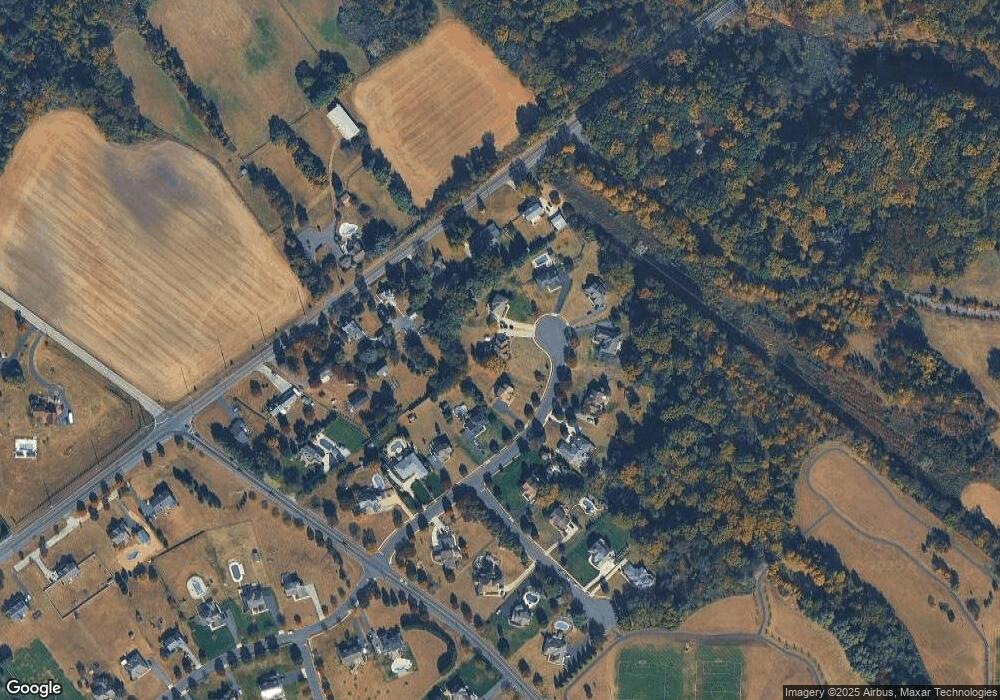
Map
Nearby Homes
- 67 E Rattling Run Rd
- 18 Millwood Dr
- 0 Tomlin Station Rd Unit NJGL2061600
- 253 Jennings Way
- 71 W Tomlin Station Rd
- 241 Gaunt Dr
- 424 Country Way
- 415 Country Way
- 200 David Mills Ln
- 50 Mill Rd
- 120 Jubilee Dr
- 209 Charles Corliss Blvd
- 118 Timberlane Rd
- 355 Friendship Rd
- 178 Westbrook Rd
- 6 Burton Ln
- 325 Windsor Rd
- 255 Genesee Rd
- 253 Jessups Mill Rd
- 276-280 County House Rd
Your Personal Tour Guide
Ask me questions while you tour the home.