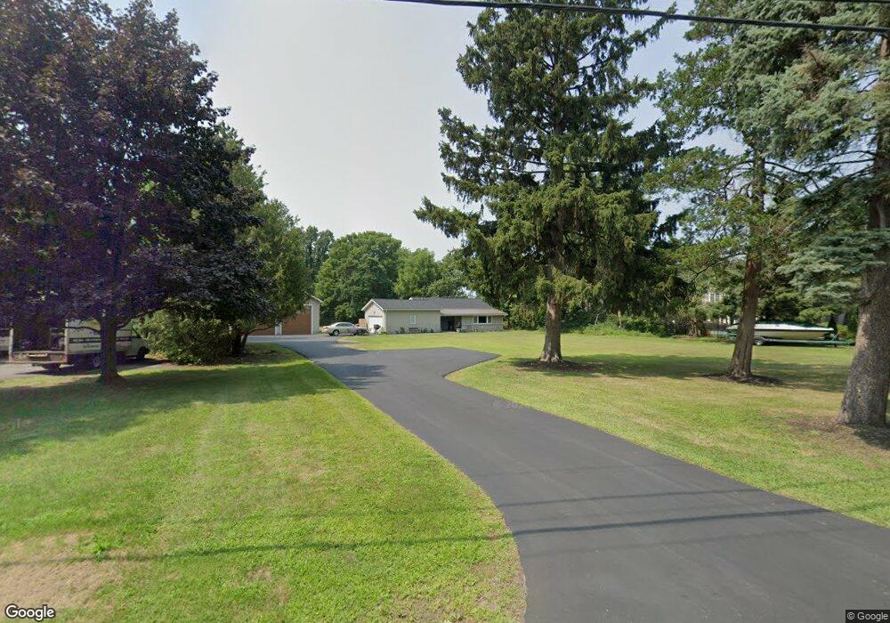
617 Dewitt Rd Unit 623 Webster, NY 14580
Estimated Value: $216,000 - $293,000
2
Beds
1
Bath
1,133
Sq Ft
$223/Sq Ft
Est. Value
About This Home
This home is located at 617 Dewitt Rd Unit 623, Webster, NY 14580 and is currently estimated at $252,617, approximately $222 per square foot. 617 Dewitt Rd Unit 623 is a home located in Monroe County with nearby schools including DeWitt Road Elementary School, Willink Middle School, and Thomas High School.
Ownership History
Date
Name
Owned For
Owner Type
Purchase Details
Closed on
Feb 25, 2022
Sold by
Furia Richard D
Bought by
617 Dewitt Road Llc
Current Estimated Value
Purchase Details
Closed on
Jul 29, 2011
Sold by
Casciani John R
Bought by
Furia Richard D and Furia Lisa M
Home Financials for this Owner
Home Financials are based on the most recent Mortgage that was taken out on this home.
Original Mortgage
$120,000
Interest Rate
3.78%
Mortgage Type
New Conventional
Purchase Details
Closed on
Jul 13, 1999
Sold by
Vandorpe Sam
Bought by
Casciani John R
Create a Home Valuation Report for This Property
The Home Valuation Report is an in-depth analysis detailing your home's value as well as a comparison with similar homes in the area
Home Values in the Area
Average Home Value in this Area
Purchase History
| Date | Buyer | Sale Price | Title Company |
|---|---|---|---|
| 617 Dewitt Road Llc | $160,000 | None Listed On Document | |
| Furia Richard D | $120,000 | None Available | |
| Casciani John R | $112,500 | William Higgins |
Source: Public Records
Mortgage History
| Date | Status | Borrower | Loan Amount |
|---|---|---|---|
| Previous Owner | Furia Richard D | $120,000 |
Source: Public Records
Tax History
| Year | Tax Paid | Tax Assessment Tax Assessment Total Assessment is a certain percentage of the fair market value that is determined by local assessors to be the total taxable value of land and additions on the property. | Land | Improvement |
|---|---|---|---|---|
| 2024 | $5,289 | $113,000 | $32,600 | $80,400 |
| 2023 | $5,371 | $113,000 | $32,600 | $80,400 |
| 2022 | $5,271 | $113,000 | $32,600 | $80,400 |
| 2021 | $5,222 | $113,000 | $32,600 | $80,400 |
| 2020 | $5,133 | $113,000 | $32,600 | $80,400 |
| 2019 | $4,706 | $113,000 | $32,600 | $80,400 |
| 2018 | $4,911 | $113,000 | $32,600 | $80,400 |
| 2017 | $4,672 | $113,000 | $32,600 | $80,400 |
| 2016 | $4,706 | $113,000 | $32,600 | $80,400 |
| 2015 | -- | $113,000 | $32,600 | $80,400 |
| 2014 | -- | $113,000 | $32,600 | $80,400 |
Source: Public Records
Map
Nearby Homes
- 430 Sundance Trail
- 510 Klem Rd
- 524 Old Mill Ln
- 703 Mariner Cir
- 621 Brookstone Bend
- 675 Maple Dr
- 453 Pheasant Run
- 763 Maple Dr
- 250 Norwood Cir
- Lot #30 Maple Dr
- 595 Lake Rd
- 260 Point Pleasant Rd
- 497 Pellett Rd
- 43 Oberlin St
- 203 Pinehill Dr
- 286 Filon Ave
- 153 Mallard Dr
- 1063 Hillsboro Cove Cir
- 91 Birch Hills Dr
- 302 Marina View Ln
- 625 Dewitt Rd
- 445 Sundance Trail
- 447 Sundance Trail
- 443 Sundance Trail
- 627 Dewitt Rd
- 449 Sundance Trail
- 624 Dewitt Rd
- 441 Sundance Trail
- 620 Dewitt Rd
- 639 Dewitt Rd
- 626 Dewitt Rd
- 439 Sundance Trail
- 268 Shorewood Dr
- 532 Rondo Ln
- 446 Sundance Trail
- 531 Rondo Ln
- 444 Sundance Trail
- 640 Dewitt Rd
- 442 Sundance Trail
- 272 Shorewood Dr
Your Personal Tour Guide
Ask me questions while you tour the home.