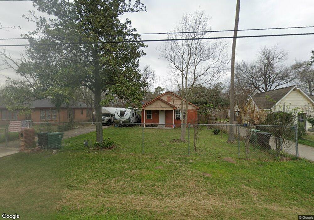
617 Eubanks St Houston, TX 77022
Northside-Northline NeighborhoodEstimated Value: $198,000 - $273,000
3
Beds
2
Baths
1,393
Sq Ft
$173/Sq Ft
Est. Value
About This Home
This home is located at 617 Eubanks St, Houston, TX 77022 and is currently estimated at $240,463, approximately $172 per square foot. 617 Eubanks St is a home located in Harris County with nearby schools including Janowski Elementary School, Burbank Middle School, and Sam Houston Math, Science & Technology Center.
Ownership History
Date
Name
Owned For
Owner Type
Purchase Details
Closed on
Apr 11, 2011
Sold by
Eguia Antonia R
Bought by
Read Leslie
Current Estimated Value
Home Financials for this Owner
Home Financials are based on the most recent Mortgage that was taken out on this home.
Original Mortgage
$38,000
Outstanding Balance
$26,363
Interest Rate
4.92%
Mortgage Type
Seller Take Back
Estimated Equity
$214,100
Purchase Details
Closed on
Jul 3, 2008
Sold by
Duran Gloria E
Bought by
Eguia Antonia R
Create a Home Valuation Report for This Property
The Home Valuation Report is an in-depth analysis detailing your home's value as well as a comparison with similar homes in the area
Home Values in the Area
Average Home Value in this Area
Purchase History
| Date | Buyer | Sale Price | Title Company |
|---|---|---|---|
| Read Leslie | -- | Stewart Title Houston Div | |
| Eguia Antonia R | -- | None Available |
Source: Public Records
Mortgage History
| Date | Status | Borrower | Loan Amount |
|---|---|---|---|
| Open | Read Leslie | $38,000 |
Source: Public Records
Tax History
| Year | Tax Paid | Tax Assessment Tax Assessment Total Assessment is a certain percentage of the fair market value that is determined by local assessors to be the total taxable value of land and additions on the property. | Land | Improvement |
|---|---|---|---|---|
| 2025 | $4,353 | $220,087 | $126,920 | $93,167 |
| 2024 | $4,353 | $208,034 | $116,483 | $91,551 |
| 2023 | $4,353 | $212,050 | $70,975 | $141,075 |
| 2022 | $4,003 | $181,783 | $70,975 | $110,808 |
| 2021 | $3,170 | $136,000 | $70,975 | $65,025 |
| 2020 | $3,489 | $144,098 | $70,975 | $73,123 |
| 2019 | $3,433 | $135,672 | $58,450 | $77,222 |
| 2018 | $2,814 | $111,219 | $48,848 | $62,371 |
| 2017 | $2,812 | $111,219 | $48,848 | $62,371 |
| 2016 | $2,541 | $100,487 | $45,925 | $54,562 |
| 2015 | $2,212 | $86,044 | $33,400 | $52,644 |
| 2014 | $2,212 | $86,044 | $33,400 | $52,644 |
Source: Public Records
Map
Nearby Homes
- 714 Apache St
- 743 Apache St
- 7714 Helmers St
- 741 Mcdaniel St
- 726 Mcdaniel St
- 525 Eubanks St
- 822 Berry Sage Ln
- 720 Caperton St
- 802 Berry Sage Ln
- 0 Appleton St
- 8440 Berry Brush Ln
- 916 Berry Rd
- 1104 Charnwood St
- 8205 Appleton St
- 428 Van Molan St
- 604 Yorkshire St
- 909 Yorkshire St Unit 8
- 7523 Roswell St
- 7805 Farnsworth St Unit A/B
- 605 Post St
Your Personal Tour Guide
Ask me questions while you tour the home.