617 Hances Point Rd North East, MD 21901
Estimated Value: $840,000 - $2,486,000
--
Bed
6
Baths
5,253
Sq Ft
$352/Sq Ft
Est. Value
About This Home
This home is located at 617 Hances Point Rd, North East, MD 21901 and is currently estimated at $1,848,277, approximately $351 per square foot. 617 Hances Point Rd is a home located in Cecil County with nearby schools including North East Elementary School, North East Middle School, and North East High School.
Ownership History
Date
Name
Owned For
Owner Type
Purchase Details
Closed on
Mar 22, 1999
Sold by
Kidwell Robert N Stacie N
Bought by
Sharkey Brian Molony and Sharkey Shirley A
Current Estimated Value
Purchase Details
Closed on
Jun 30, 1988
Sold by
Park Zin Uoo and Seado Kim
Bought by
Kidwell Ii Robert N and Kidwell Stacie N
Home Financials for this Owner
Home Financials are based on the most recent Mortgage that was taken out on this home.
Original Mortgage
$389,250
Interest Rate
10.4%
Create a Home Valuation Report for This Property
The Home Valuation Report is an in-depth analysis detailing your home's value as well as a comparison with similar homes in the area
Home Values in the Area
Average Home Value in this Area
Purchase History
| Date | Buyer | Sale Price | Title Company |
|---|---|---|---|
| Sharkey Brian Molony | $745,000 | -- | |
| Kidwell Ii Robert N | $519,000 | -- |
Source: Public Records
Mortgage History
| Date | Status | Borrower | Loan Amount |
|---|---|---|---|
| Previous Owner | Kidwell Ii Robert N | $389,250 | |
| Closed | Sharkey Brian Molony | -- |
Source: Public Records
Tax History Compared to Growth
Tax History
| Year | Tax Paid | Tax Assessment Tax Assessment Total Assessment is a certain percentage of the fair market value that is determined by local assessors to be the total taxable value of land and additions on the property. | Land | Improvement |
|---|---|---|---|---|
| 2025 | $15,464 | $1,407,567 | $0 | $0 |
| 2024 | $14,425 | $1,312,633 | $0 | $0 |
| 2023 | $13,508 | $1,217,700 | $584,300 | $633,400 |
| 2022 | $13,532 | $1,196,100 | $0 | $0 |
| 2021 | $13,448 | $1,174,500 | $0 | $0 |
| 2020 | $13,358 | $1,152,900 | $584,300 | $568,600 |
| 2019 | $13,293 | $1,147,300 | $0 | $0 |
| 2018 | $13,228 | $1,141,700 | $0 | $0 |
| 2017 | $13,164 | $1,136,100 | $0 | $0 |
| 2016 | $12,553 | $1,134,533 | $0 | $0 |
| 2015 | $12,553 | $1,132,967 | $0 | $0 |
| 2014 | $13,199 | $1,131,400 | $0 | $0 |
Source: Public Records
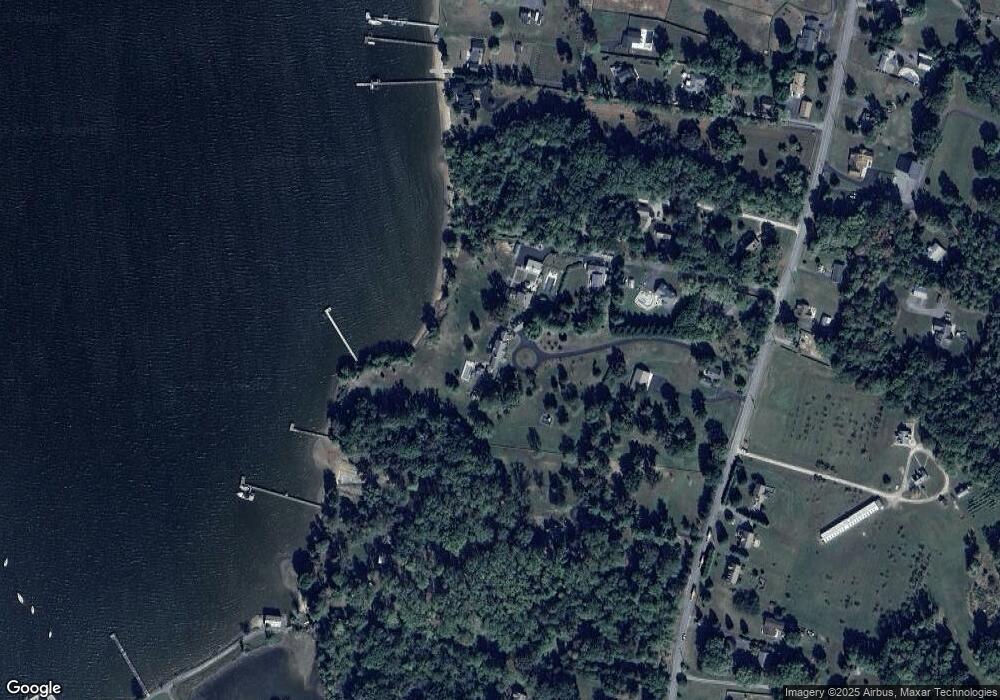
Map
Nearby Homes
- 18 Plum Ct
- 9 Plum Ct
- 15 Sunset Dr
- 29 Northeast Ave
- 0 Edgewater Ave
- 0 Northeast Ave Unit MDCC2015284
- 61 Dune Dr
- 61 Dune Dr
- 21 Heisler Ave
- 167 Bridgewood Ave
- 807 Bladen St
- 605 Shady Beach Rd
- 257 Tournament Cir
- 131 Five Iron Dr
- 18 Chip Shot Ct
- 15 Yarmouth Ln
- 479 Baltimore St
- 29 Salvation Cir
- 45 Long Beach Rd
- 55 Long Beach Rd
- 56 Canvasback Dr
- 38 Canvasback Dr
- 20 Canvasback Dr
- 575 Hances Point Rd
- 657 Hances Point Rd
- 615 Hances Point Rd
- LOT #34 Cherry Ln
- 555 Hances Point Rd
- 629 Hances Point Rd
- 80 Orchard Rd
- Hance Point Rd
- 655 Hances Point Rd
- 81 Orchard Rd
- 33 Orchard Rd
- 636 Hances Point Rd
- 580 Hances Point Rd
- 648 Hances Point Rd
- 572 Hances Point Rd
- 25 Orchard Rd
- 43 Orchard Rd