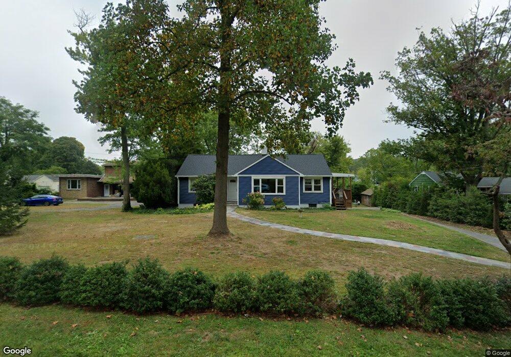
617 Locust Point Rd Rumson, NJ 07760
Estimated Value: $795,000 - $1,130,000
2
Beds
2
Baths
1,220
Sq Ft
$725/Sq Ft
Est. Value
About This Home
This home is located at 617 Locust Point Rd, Rumson, NJ 07760 and is currently estimated at $884,961, approximately $725 per square foot. 617 Locust Point Rd is a home located in Monmouth County with nearby schools including Navesink Elementary School, Bayshore Middle School, and Middletown - South High School.
Ownership History
Date
Name
Owned For
Owner Type
Purchase Details
Closed on
Sep 29, 2020
Sold by
Luard John and Gahn Toni
Bought by
Golden Sean and Golden Jennifer
Current Estimated Value
Home Financials for this Owner
Home Financials are based on the most recent Mortgage that was taken out on this home.
Original Mortgage
$198,000
Outstanding Balance
$175,712
Interest Rate
2.9%
Mortgage Type
New Conventional
Estimated Equity
$709,249
Create a Home Valuation Report for This Property
The Home Valuation Report is an in-depth analysis detailing your home's value as well as a comparison with similar homes in the area
Home Values in the Area
Average Home Value in this Area
Purchase History
| Date | Buyer | Sale Price | Title Company |
|---|---|---|---|
| Golden Sean | $435,000 | Trident Abstract Title |
Source: Public Records
Mortgage History
| Date | Status | Borrower | Loan Amount |
|---|---|---|---|
| Open | Golden Sean | $198,000 |
Source: Public Records
Tax History Compared to Growth
Tax History
| Year | Tax Paid | Tax Assessment Tax Assessment Total Assessment is a certain percentage of the fair market value that is determined by local assessors to be the total taxable value of land and additions on the property. | Land | Improvement |
|---|---|---|---|---|
| 2025 | $11,091 | $872,700 | $680,000 | $192,700 |
| 2024 | $9,715 | $674,200 | $485,000 | $189,200 |
| 2023 | $9,715 | $559,000 | $401,900 | $157,100 |
| 2022 | $7,993 | $400,800 | $251,200 | $149,600 |
| 2021 | $7,993 | $384,300 | $251,200 | $133,100 |
| 2020 | $7,994 | $373,900 | $243,800 | $130,100 |
| 2019 | $7,880 | $373,100 | $243,800 | $129,300 |
| 2018 | $8,783 | $405,300 | $282,000 | $123,300 |
| 2017 | $8,791 | $401,600 | $282,000 | $119,600 |
| 2016 | $8,172 | $383,500 | $267,000 | $116,500 |
| 2015 | $8,464 | $383,500 | $267,000 | $116,500 |
| 2014 | $8,124 | $359,000 | $242,000 | $117,000 |
Source: Public Records
Map
Nearby Homes
- 139 Monmouth Ave
- 96 East Ave Unit 92
- 185 Monmouth Ave
- 38 East Ave
- HAMPSHIRE Plan at Central Ave
- 498 Central Ave
- 502 Central Ave
- 500 Central Ave
- 7100 Prospect Ave
- 6998 Prospect Ave
- 18 Middletown Ave
- 59 Asbury Ave
- 34 Serpentine Dr
- 4 Isabella Ct
- 90 E Lincoln Ave
- 18 Clay Ct
- 61 E Washington Ave
- 119 Chestnut Ave
- 809 Navesink River Rd
- 934 Navesink River Rd
- 613 Locust Point Rd
- 621 Locust Point Rd
- 609 Locust Point Rd
- 625 Locust Point Rd
- 629 Locust Point Rd
- 628 Locust Point Rd
- 605 Locust Point Rd
- 633 Locust Point Rd
- 634 Locust Point Rd
- 637 Locust Point Rd
- 131 Lakeside Ave
- 9 Trovillo Ct
- 129 Lakeside Ave
- 7 Trovillo Ct
- 638 Locust Point Rd
- 19 Trovillo Ct
- 641 Locust Point Rd
- 1 Trovillo Ct
- 642 Locust Point Rd
- 15 Trovillo Ct