Estimated Value: $120,000 - $203,000
2
Beds
2
Baths
1,102
Sq Ft
$134/Sq Ft
Est. Value
About This Home
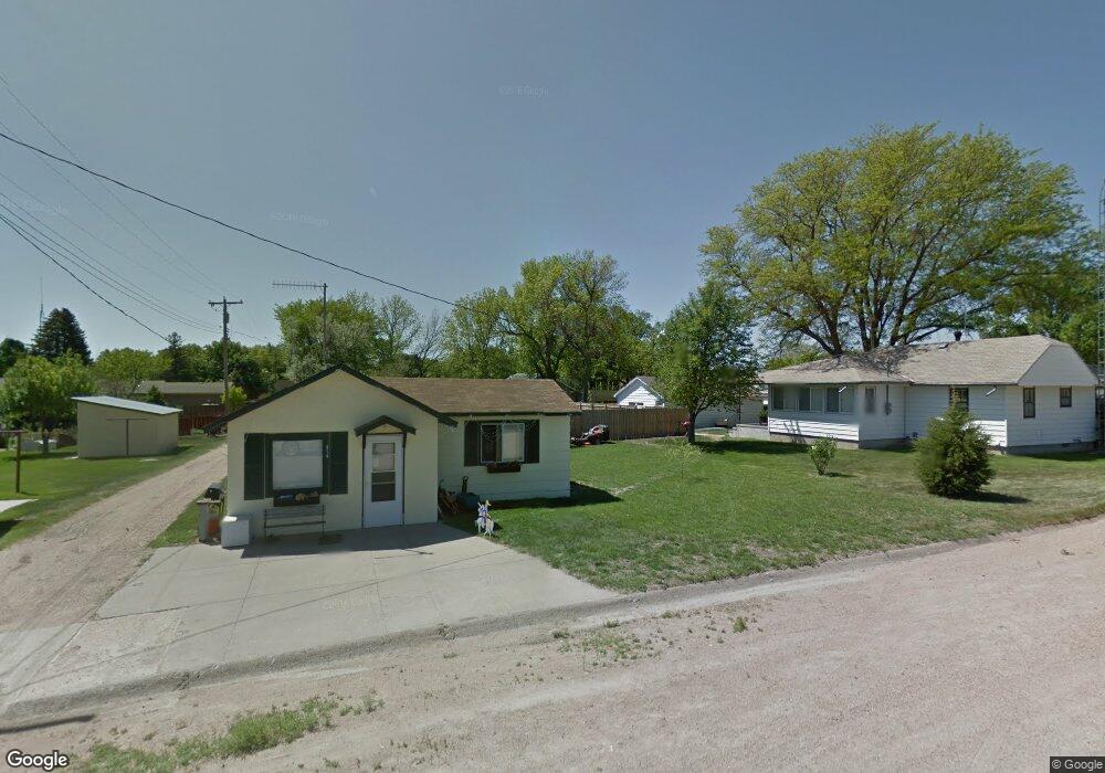
This home is located at 617 Maple St, Brule, NE 69127 and is currently estimated at $147,590, approximately $133 per square foot. 617 Maple St is a home with nearby schools including So Platte Elementary at Big Springs and South Platte High School.
Ownership History
Date
Name
Owned For
Owner Type
Purchase Details
Closed on
Dec 27, 2019
Sold by
Hendon John C and Hendon Eva L
Bought by
Hendon John C and Hendon Eva L
Current Estimated Value
Purchase Details
Closed on
Jan 20, 2005
Sold by
Mcclellan Lois M
Bought by
Hendon John C
Home Financials for this Owner
Home Financials are based on the most recent Mortgage that was taken out on this home.
Original Mortgage
$40,000
Outstanding Balance
$11,131
Interest Rate
5.71%
Mortgage Type
New Conventional
Estimated Equity
$136,459
Create a Home Valuation Report for This Property
The Home Valuation Report is an in-depth analysis detailing your home's value as well as a comparison with similar homes in the area
Purchase History
| Date | Buyer | Sale Price | Title Company |
|---|---|---|---|
| Hendon John C | -- | None Available | |
| Hendon John C | $51,000 | None Available |
Source: Public Records
Mortgage History
| Date | Status | Borrower | Loan Amount |
|---|---|---|---|
| Open | Hendon John C | $40,000 |
Source: Public Records
Tax History
| Year | Tax Paid | Tax Assessment Tax Assessment Total Assessment is a certain percentage of the fair market value that is determined by local assessors to be the total taxable value of land and additions on the property. | Land | Improvement |
|---|---|---|---|---|
| 2025 | $1,231 | $128,705 | $8,910 | $119,795 |
| 2024 | $1,069 | $98,020 | $8,910 | $89,110 |
| 2023 | $915 | $73,040 | $8,910 | $64,130 |
| 2022 | $1,038 | $79,365 | $8,910 | $70,455 |
| 2021 | $882 | $64,340 | $7,505 | $56,835 |
| 2020 | $976 | $74,635 | $7,505 | $67,130 |
| 2019 | $826 | $61,005 | $6,005 | $55,000 |
| 2018 | $663 | $46,890 | $4,690 | $42,200 |
| 2017 | $701 | $48,285 | $4,390 | $43,895 |
| 2016 | $613 | $40,072 | $3,627 | $36,445 |
| 2015 | $562 | $34,255 | $3,100 | $31,155 |
| 2010 | -- | $40,485 | $3,100 | $37,385 |
Source: Public Records
Map
Nearby Homes
- 216 Linnell St
- 303 Linnell St
- 714 Keith St
- 290 W Road I S
- 0000 Road West M N
- Big Springs Unit NE 69122
- Tbd Road West O S
- TBD Road West O S
- Lot 1 W P St
- Lots Lakeview Rd
- 00010 Lakeview Rd
- 301 Chuckwagon Rd
- 407 W M St
- 1106 Ethel Ave
- 306 Hidden Canyon Estates
- Lot 23 W County Road B
- 706 W H St
- 806 W 4th St
- 815 W 5th St
- 620 W G St
Your Personal Tour Guide
Ask me questions while you tour the home.