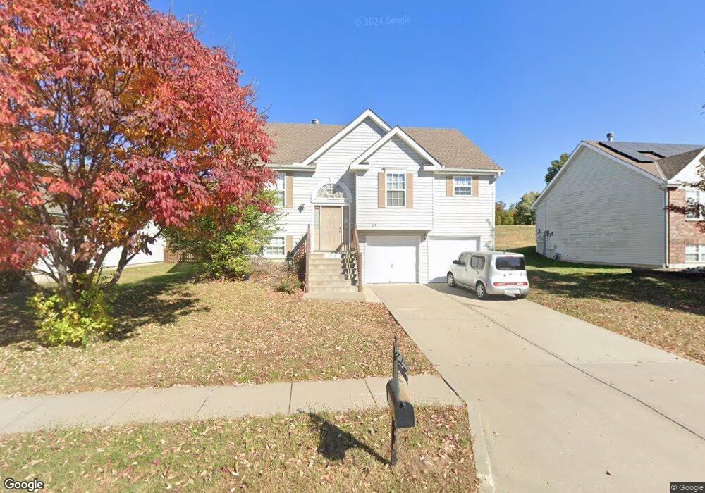
617 Midjay Dr Liberty, MO 64068
Estimated Value: $287,693 - $342,000
3
Beds
2
Baths
1,438
Sq Ft
$214/Sq Ft
Est. Value
About This Home
This home is located at 617 Midjay Dr, Liberty, MO 64068 and is currently estimated at $307,423, approximately $213 per square foot. 617 Midjay Dr is a home located in Clay County with nearby schools including Alexander Doniphan Elementary School, Discovery Middle School, and Liberty High School.
Ownership History
Date
Name
Owned For
Owner Type
Purchase Details
Closed on
Mar 24, 2006
Sold by
Mcbride & Son Homes Kansas City Llc
Bought by
Filipi Joseph C and Filipi Linda R
Current Estimated Value
Home Financials for this Owner
Home Financials are based on the most recent Mortgage that was taken out on this home.
Original Mortgage
$142,978
Outstanding Balance
$80,996
Interest Rate
6.21%
Mortgage Type
Fannie Mae Freddie Mac
Estimated Equity
$226,427
Create a Home Valuation Report for This Property
The Home Valuation Report is an in-depth analysis detailing your home's value as well as a comparison with similar homes in the area
Home Values in the Area
Average Home Value in this Area
Purchase History
| Date | Buyer | Sale Price | Title Company |
|---|---|---|---|
| Filipi Joseph C | -- | Thomson Title Corporation |
Source: Public Records
Mortgage History
| Date | Status | Borrower | Loan Amount |
|---|---|---|---|
| Open | Filipi Joseph C | $142,978 |
Source: Public Records
Tax History
| Year | Tax Paid | Tax Assessment Tax Assessment Total Assessment is a certain percentage of the fair market value that is determined by local assessors to be the total taxable value of land and additions on the property. | Land | Improvement |
|---|---|---|---|---|
| 2025 | $3,163 | $45,010 | -- | -- |
| 2024 | $3,163 | $41,120 | -- | -- |
| 2023 | $3,216 | $41,120 | $0 | $0 |
| 2022 | $2,883 | $36,390 | $0 | $0 |
| 2021 | $2,860 | $36,385 | $6,650 | $29,735 |
| 2020 | $2,734 | $32,660 | $0 | $0 |
| 2019 | $2,733 | $32,661 | $6,080 | $26,581 |
Source: Public Records
Map
Nearby Homes
- 607 Glendale Rd
- 803 Melrose St
- 409 Wilshire Blvd
- Lot 2 Bent Oaks Dr
- 8816 NE 73rd Terrace
- 7521 N Stark Ave
- Lot 2A Oak Crest Dr
- 7436 N Lewis Ave
- 2116 Winding Woods Dr
- 8801 Orchard St
- 717 Riverwood Dr
- 807 Conistor Ln
- 1804 W Liberty Dr
- 7629 N Booth Ave
- 7645 N Booth Ave
- 9008 NE 80th St
- 7636 N Booth Ave
- 7644 N Booth Ave
- 7616 N Booth Ave
- 1210 Dunwich Dr
- 621 Midjay Dr
- 613 Midjay Dr
- 725 Midjay Dr
- 509 Sherry Ln
- 609 Midjay Dr
- 625 Midjay Dr
- 505 Sherry Ln
- 705 Midjay Dr
- 510 Bancroft Ave
- 510 Bancroft St
- 504 Sherry Ln
- 518 Bancroft Ave
- 514 Bancroft St
- 518 Bancroft St
- 506 Bancroft St
- 506 Bancroft Ave
- 502 Bancroft St
- 610 Glendale Rd
- 709 Midjay Dr
- 604 Glendale Rd
Your Personal Tour Guide
Ask me questions while you tour the home.