617 N Mulberry St Mansfield, OH 44902
--
Bed
--
Bath
6,600
Sq Ft
7,405
Sq Ft Lot
About This Home
This home is located at 617 N Mulberry St, Mansfield, OH 44902. 617 N Mulberry St is a home located in Richland County with nearby schools including Foundation Academy, Mansfield Elective Academy, and St. Peter's Elementary/Montessori School.
Ownership History
Date
Name
Owned For
Owner Type
Purchase Details
Closed on
Aug 12, 2022
Sold by
Oasis Of Love Church
Bought by
Church Oasis Love
Purchase Details
Closed on
Jun 6, 2005
Sold by
Rohaly George P and Rohaly Rhonda E
Bought by
Greater St John Church Of God In Christ
Purchase Details
Closed on
Feb 29, 2000
Sold by
Trst William H Burton
Bought by
Rohaly George P Rhonda E
Home Financials for this Owner
Home Financials are based on the most recent Mortgage that was taken out on this home.
Original Mortgage
$60,000
Interest Rate
8.5%
Mortgage Type
Commercial
Purchase Details
Closed on
Dec 29, 1993
Sold by
Burton William H
Bought by
Burton William H Trustee
Create a Home Valuation Report for This Property
The Home Valuation Report is an in-depth analysis detailing your home's value as well as a comparison with similar homes in the area
Home Values in the Area
Average Home Value in this Area
Purchase History
| Date | Buyer | Sale Price | Title Company |
|---|---|---|---|
| Church Oasis Love | $4,125 | Chicago Title | |
| Greater St John Church Of God In Christ | $190,000 | Lawyers Title | |
| Rohaly George P Rhonda E | $75,000 | -- | |
| Burton William H Trustee | -- | -- |
Source: Public Records
Mortgage History
| Date | Status | Borrower | Loan Amount |
|---|---|---|---|
| Previous Owner | Rohaly George P Rhonda E | $60,000 |
Source: Public Records
Tax History Compared to Growth
Tax History
| Year | Tax Paid | Tax Assessment Tax Assessment Total Assessment is a certain percentage of the fair market value that is determined by local assessors to be the total taxable value of land and additions on the property. | Land | Improvement |
|---|---|---|---|---|
| 2024 | $1,088 | $15,310 | $2,530 | $12,780 |
| 2023 | $1,088 | $15,310 | $2,530 | $12,780 |
| 2022 | $1,193 | $14,840 | $2,300 | $12,540 |
| 2021 | $1,198 | $14,840 | $2,300 | $12,540 |
| 2020 | $1,216 | $14,840 | $2,300 | $12,540 |
| 2019 | $1,272 | $14,840 | $2,300 | $12,540 |
| 2018 | $1,266 | $14,840 | $2,300 | $12,540 |
| 2017 | $1,217 | $14,840 | $2,300 | $12,540 |
| 2016 | $1,189 | $13,950 | $2,300 | $11,650 |
| 2015 | $1,142 | $13,950 | $2,300 | $11,650 |
| 2014 | $1,129 | $13,950 | $2,300 | $11,650 |
| 2012 | $933 | $13,950 | $2,300 | $11,650 |
Source: Public Records
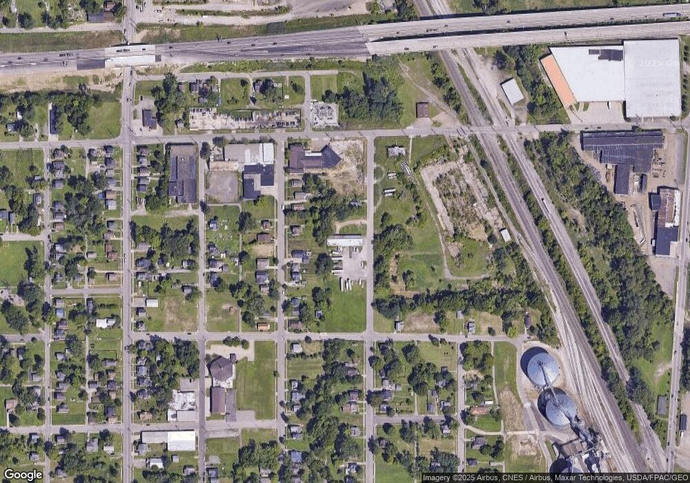
Map
Nearby Homes
- 526 Bowman St
- 743 Bowman St
- 283 Bulkley Ave
- 156 Buckingham Ave Unit 158
- 452 Daisy St
- 371 Bell St
- 0 Voegele Ave Unit Lot 6048, 6049, 6
- 426 Mcpherson St
- 0 Highway 30
- 512 Burns St
- 458 Wayne St
- 346 Newman St
- 169 W 5th St
- 282 W 5th St
- 219 W 5th St
- 311 Auburn St
- 0 State Route 314 Unit 9067316
- 0 State Route 314 Unit 225021979
- 673 Armstrong St Unit 23
- 688 Mcpherson St