617 Poplar Ridge Rd Sutton, WV 26601
Estimated Value: $79,935 - $243,000
Studio
--
Bath
--
Sq Ft
12.04
Acres Lot
About This Home
This home is located at 617 Poplar Ridge Rd, Sutton, WV 26601 and is currently estimated at $152,645. 617 Poplar Ridge Rd is a home with nearby schools including Braxton County High School.
Create a Home Valuation Report for This Property
The Home Valuation Report is an in-depth analysis detailing your home's value as well as a comparison with similar homes in the area
Tax History
We collect this data history from publicly available records. To have your information removed, we recommend requesting removal directly through your county’s website.
| Year | Tax Paid | Tax Assessment Tax Assessment Total Assessment is a certain percentage of the fair market value that is determined by local assessors to be the total taxable value of land and additions on the property. | Land | Improvement |
|---|---|---|---|---|
| 2025 | $177 | $23,040 | $17,700 | $5,340 |
| 2024 | $177 | $20,940 | $16,080 | $4,860 |
| 2023 | $161 | $20,880 | $16,080 | $4,800 |
| 2022 | $161 | $20,760 | $16,080 | $4,680 |
| 2021 | $154 | $19,740 | $15,420 | $4,320 |
| 2020 | $148 | $19,020 | $14,880 | $4,140 |
| 2019 | $145 | $18,420 | $14,460 | $3,960 |
| 2018 | $141 | $17,880 | $14,040 | $3,840 |
| 2017 | $136 | $17,040 | $13,320 | $3,720 |
| 2016 | $137 | $17,160 | $13,320 | $3,840 |
| 2015 | $133 | $16,560 | $12,420 | $4,140 |
| 2014 | $124 | $7,320 | $3,180 | $4,140 |
Source: Public Records
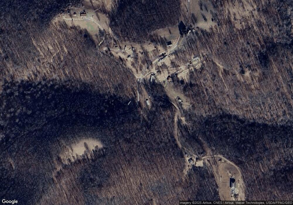
Map
Nearby Homes
- 815 Stony Creek Rd
- 0 Wolf Creek Rd
- 7265 Bug Ridge Rd
- 3801 Old Turnpike Rd
- 100 Old Turnpike Rd
- 47 County Route 19 34
- 3224 Crites Mountain Rd
- 245 Whiteoak Rd
- TBD Kanawha Run Rd
- TBD Buckeye Creek Rd
- 895 Beamer Dr
- 280 S Charles St
- 754 Days Dr Unit 6
- 404 Main St
- 210 Main St
- 30 Camden Ave
- 557 Removal Rd
- 339 Gauley Turnpike
- 3089 State St
- 3091 State St
- 611 Poplar Ridge Rd
- 257 Poplar Ridge Rd
- 290 Poplar Ridge
- 615 Poplar Ridge Rd
- 608 Poplar Ridge Rd
- 196 Poplar Ridge Rd
- 60 Poplar Ridge Rd
- 60 Utt Dr
- 1291 Poplar Ridge Rd
- 1161 Poplar Ridge Rd
- 3355 Centralia Rd
- 3710 Centralia Rd
- 3710 Centralia Rd
- 1177 Poplar Ridge Rd
- 3798 Centralia Rd
- 3791 Centralia Rd
- 55 Poplar Ridge Rd
- 9 Poplar Ridge
- 9 Poplar Ridge
- 3700 Centralia Rd
Your Personal Tour Guide
Ask me questions while you tour the home.