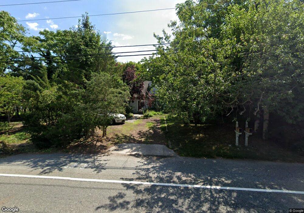
617 Route Us 9 N Marmora, NJ 08223
Estimated Value: $387,201 - $567,000
--
Bed
--
Bath
1,764
Sq Ft
$286/Sq Ft
Est. Value
About This Home
This home is located at 617 Route Us 9 N, Marmora, NJ 08223 and is currently estimated at $504,050, approximately $285 per square foot. 617 Route Us 9 N is a home located in Cape May County with nearby schools including Upper Township Primary School, Upper Township Elementary School, and Upper Township Middle School.
Ownership History
Date
Name
Owned For
Owner Type
Purchase Details
Closed on
Mar 28, 1997
Sold by
Berman Henrick
Bought by
Mccormick Patricia M
Current Estimated Value
Purchase Details
Closed on
Mar 12, 1992
Sold by
Milligan Maureen
Bought by
Milligan Maureen and Milligan Anne
Purchase Details
Closed on
May 12, 1989
Sold by
Sundance Homes Inc
Bought by
Milligan Maureen
Create a Home Valuation Report for This Property
The Home Valuation Report is an in-depth analysis detailing your home's value as well as a comparison with similar homes in the area
Home Values in the Area
Average Home Value in this Area
Purchase History
| Date | Buyer | Sale Price | Title Company |
|---|---|---|---|
| Mccormick Patricia M | $134,000 | -- | |
| Milligan Maureen | -- | -- | |
| Milligan Maureen | $108,000 | -- |
Source: Public Records
Tax History Compared to Growth
Tax History
| Year | Tax Paid | Tax Assessment Tax Assessment Total Assessment is a certain percentage of the fair market value that is determined by local assessors to be the total taxable value of land and additions on the property. | Land | Improvement |
|---|---|---|---|---|
| 2025 | $5,324 | $232,000 | $114,600 | $117,400 |
| 2024 | $5,324 | $232,000 | $114,600 | $117,400 |
| 2023 | $5,062 | $232,000 | $114,600 | $117,400 |
| 2022 | $4,877 | $232,000 | $114,600 | $117,400 |
| 2021 | $3,481 | $232,000 | $114,600 | $117,400 |
| 2020 | $4,522 | $232,000 | $114,600 | $117,400 |
| 2019 | $4,401 | $232,000 | $114,600 | $117,400 |
| 2018 | $4,285 | $232,000 | $114,600 | $117,400 |
| 2017 | $4,232 | $232,000 | $114,600 | $117,400 |
| 2016 | $4,304 | $232,000 | $114,600 | $117,400 |
| 2015 | $4,188 | $232,000 | $114,600 | $117,400 |
| 2014 | $4,300 | $292,100 | $167,200 | $124,900 |
Source: Public Records
Map
Nearby Homes
- 527 N 527 N Shore Rd
- 601 2nd Ave
- 36 E Hollywood Ln
- 16 Lenape Ln
- 202 N Shore Rd
- 125 N Shore Rd
- 32 Norwood Rd
- 14 Lyndhurst Rd
- 1 Roosevelt Blvd
- 14 Roberts Ave
- 100 Reef Dr
- 9 Coral Ln
- 1904 Glenwood Dr
- 2019 Glenwood Dr
- 1901 Glenwood Dr
- 71 Spruce Rd
- 20 Gilbert Ln
- 15 Waterway Rd
- 13 Waterway Rd
- 3103 Bayland Dr
- 1 Point Pleasant Ave
- 1 Beesleys Place
- 615 Route Us 9 N
- 5 Point Pleasant Ave
- 624 N Shore Rd
- 3 Beesleys Place
- 624 Route Us 9 N
- 609 Route Us 9 N
- 2 Beesleys Place
- 5 Beesleys Place
- 4 Point Pleasant Ave
- 706 N Shore Rd
- 706 Route Us 9 N
- 4 Beesleys Place
- 11 Point Pleasant Ave
- 700 Route Us 9 N
- 607 Route Us 9 N
- 6 Beesleys Place
- 618 Route Us 9 N
- 10 Point Pleasant Ave