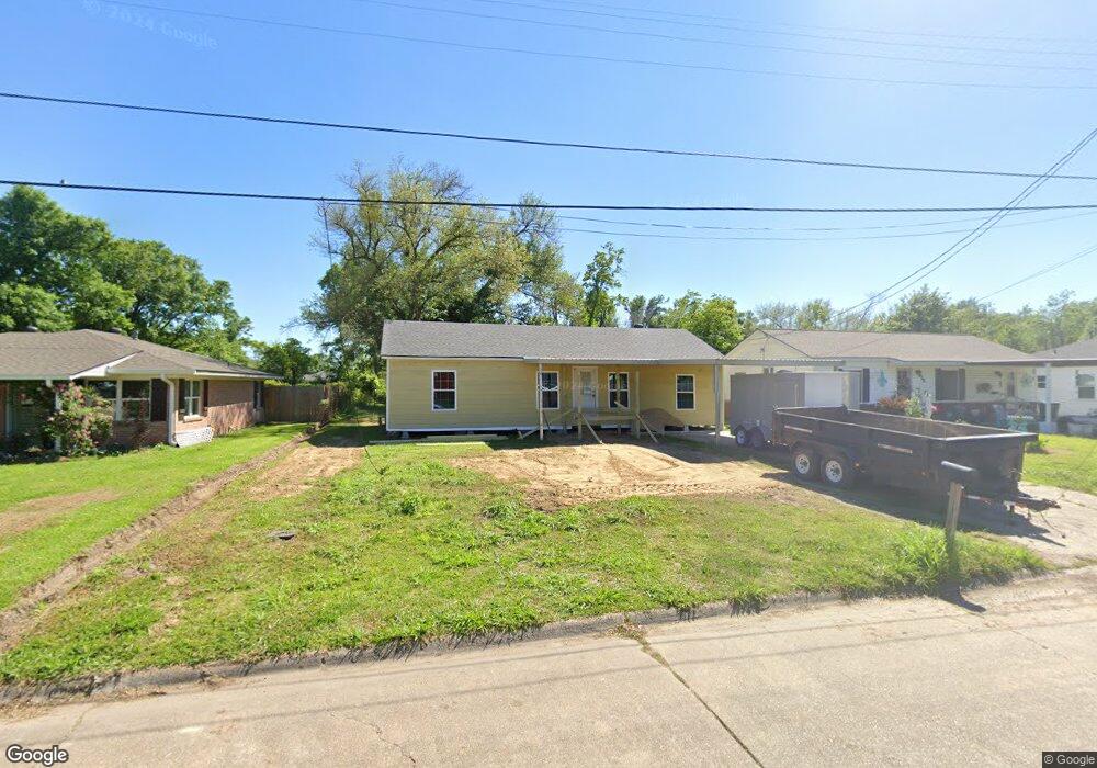
617 S Kent Dr Sulphur, LA 70663
Estimated Value: $108,000 - $138,000
2
Beds
1
Bath
915
Sq Ft
$131/Sq Ft
Est. Value
About This Home
This home is located at 617 S Kent Dr, Sulphur, LA 70663 and is currently estimated at $120,018, approximately $131 per square foot. 617 S Kent Dr is a home located in Calcasieu Parish with nearby schools including Frasch Elementary School, W.W. Lewis Middle School, and Sulphur High School.
Ownership History
Date
Name
Owned For
Owner Type
Purchase Details
Closed on
Jul 3, 2024
Sold by
Hunter-Gail Associates Llc
Bought by
Guidry Russell Nelson and Dobler Emily Ann
Current Estimated Value
Purchase Details
Closed on
Mar 18, 2011
Sold by
Federal National Mortgage Association
Bought by
White Robert T
Purchase Details
Closed on
Sep 15, 2010
Sold by
Doty Dena Ann
Bought by
Federal National Mortgage Association
Purchase Details
Closed on
Nov 10, 2006
Sold by
Castille Viator Garylee Paul and Castille Viator Linda Lee
Bought by
Doty Dena Ann
Home Financials for this Owner
Home Financials are based on the most recent Mortgage that was taken out on this home.
Original Mortgage
$72,750
Interest Rate
6.28%
Mortgage Type
New Conventional
Create a Home Valuation Report for This Property
The Home Valuation Report is an in-depth analysis detailing your home's value as well as a comparison with similar homes in the area
Home Values in the Area
Average Home Value in this Area
Purchase History
| Date | Buyer | Sale Price | Title Company |
|---|---|---|---|
| Guidry Russell Nelson | $115,000 | Ironclad Title | |
| White Robert T | $47,000 | Titlelink Of Louisiana Inc | |
| Federal National Mortgage Association | $81,281 | None Available | |
| Doty Dena Ann | $75,000 | Elite Title Insurance Agency |
Source: Public Records
Mortgage History
| Date | Status | Borrower | Loan Amount |
|---|---|---|---|
| Previous Owner | Doty Dena Ann | $72,750 |
Source: Public Records
Tax History Compared to Growth
Tax History
| Year | Tax Paid | Tax Assessment Tax Assessment Total Assessment is a certain percentage of the fair market value that is determined by local assessors to be the total taxable value of land and additions on the property. | Land | Improvement |
|---|---|---|---|---|
| 2024 | $223 | $8,430 | $2,700 | $5,730 |
| 2023 | $223 | $8,430 | $2,700 | $5,730 |
| 2022 | $900 | $8,430 | $2,700 | $5,730 |
| 2021 | $776 | $8,430 | $2,700 | $5,730 |
| 2020 | $826 | $7,750 | $2,590 | $5,160 |
| 2019 | $887 | $8,230 | $2,500 | $5,730 |
| 2018 | $900 | $8,230 | $2,500 | $5,730 |
| 2017 | $922 | $8,230 | $2,500 | $5,730 |
| 2016 | $541 | $8,230 | $2,500 | $5,730 |
| 2015 | $541 | $4,670 | $2,200 | $2,470 |
Source: Public Records
Map
Nearby Homes
- 0 Eddie St Unit SWL24005544
- 0 Eddie St Unit SWL23005682
- 1641 Eddie St
- 300 Mathilda Dr
- 641 Starlin Dr Unit 498
- 1339 W Kent Dr
- 900 Mathilda Dr
- 1305 Francis St
- 740 Starlin Dr
- 623 Mustang St
- 217 Darbonne St
- 112 Darbonne St
- 284 E Roddam St
- 1002 Maria Dr
- 1102 Bernadette Dr
- 1302 Dean St
- 1605 Ruth St
- 1406 Carol St
- 1713 Ewel St
- 509 Henning Dr