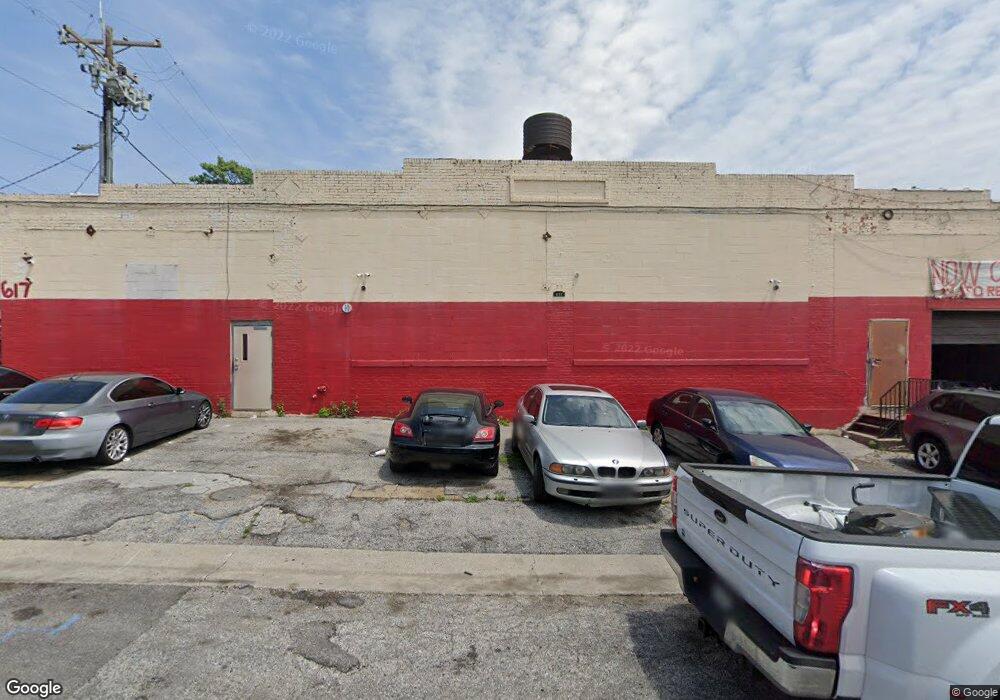
617 S Smallwood St Baltimore, MD 21223
Carrollton Ridge NeighborhoodEstimated Value: $286,501
--
Bed
--
Bath
14,320
Sq Ft
$20/Sq Ft
Est. Value
About This Home
This home is located at 617 S Smallwood St, Baltimore, MD 21223 and is currently priced at $286,501, approximately $20 per square foot. 617 S Smallwood St is a home located in Baltimore City with nearby schools including Booker T. Washington Middle School, Edmondson Westside High School, and Digital Harbor High School.
Ownership History
Date
Name
Owned For
Owner Type
Purchase Details
Closed on
Sep 1, 2011
Sold by
Parsons James W
Bought by
S C W Partnership Llc
Current Estimated Value
Home Financials for this Owner
Home Financials are based on the most recent Mortgage that was taken out on this home.
Original Mortgage
$149,000
Interest Rate
4.53%
Mortgage Type
Purchase Money Mortgage
Purchase Details
Closed on
Mar 19, 2004
Sold by
Parsons James W
Bought by
Parsons James W
Create a Home Valuation Report for This Property
The Home Valuation Report is an in-depth analysis detailing your home's value as well as a comparison with similar homes in the area
Home Values in the Area
Average Home Value in this Area
Purchase History
| Date | Buyer | Sale Price | Title Company |
|---|---|---|---|
| S C W Partnership Llc | $150,000 | -- | |
| S C W Partnership Llc | $150,000 | -- | |
| Parsons James W | $70,000 | -- |
Source: Public Records
Mortgage History
| Date | Status | Borrower | Loan Amount |
|---|---|---|---|
| Closed | S C W Partnership Llc | $149,000 |
Source: Public Records
Tax History Compared to Growth
Tax History
| Year | Tax Paid | Tax Assessment Tax Assessment Total Assessment is a certain percentage of the fair market value that is determined by local assessors to be the total taxable value of land and additions on the property. | Land | Improvement |
|---|---|---|---|---|
| 2025 | $5,274 | $231,367 | -- | -- |
| 2024 | $5,274 | $224,533 | $0 | $0 |
| 2023 | $5,113 | $217,700 | $34,800 | $182,900 |
| 2022 | $4,592 | $194,567 | $0 | $0 |
| 2021 | $4,046 | $171,433 | $0 | $0 |
| 2020 | $3,500 | $148,300 | $34,800 | $113,500 |
| 2019 | $3,483 | $148,300 | $34,800 | $113,500 |
| 2018 | $3,500 | $148,300 | $34,800 | $113,500 |
| 2017 | $3,568 | $151,200 | $0 | $0 |
| 2016 | -- | $151,133 | $0 | $0 |
| 2015 | $6,452 | $151,067 | $0 | $0 |
| 2014 | $6,452 | $151,000 | $0 | $0 |
Source: Public Records
Map
Nearby Homes
- 2103 Eagle St
- 2134 Wilkens Ave
- 2142 Wilkens Ave
- 2104 Wilkens Ave
- 647 S Pulaski St
- 527 S Smallwood St
- 2012 Eagle St
- 2230 Wilkens Ave
- 2017 Eagle St
- 2227 Christian St
- 510 S Smallwood St
- 2228 Christian St
- 550 S Bentalou St
- 519 S Bentalou St
- 636 S Monroe St
- 2202 Ashton St
- 1930 Wilkens Ave
- 454 Furrow St
- 452 Furrow St
- 426 S Smallwood St