617 W 400 N Decatur, IN 46733
Estimated Value: $296,000 - $523,000
5
Beds
1
Bath
2,188
Sq Ft
$171/Sq Ft
Est. Value
About This Home
This home is located at 617 W 400 N, Decatur, IN 46733 and is currently estimated at $373,749, approximately $170 per square foot. 617 W 400 N is a home located in Adams County with nearby schools including Southeast Elementary School, Bellmont Elementary School, and Bellmont Middle School.
Ownership History
Date
Name
Owned For
Owner Type
Purchase Details
Closed on
Oct 2, 2020
Sold by
Bluhm Ben L and Bluhm Suellen K
Bought by
Bluhm Tyler C
Current Estimated Value
Home Financials for this Owner
Home Financials are based on the most recent Mortgage that was taken out on this home.
Original Mortgage
$293,139
Outstanding Balance
$260,732
Interest Rate
2.9%
Mortgage Type
New Conventional
Estimated Equity
$113,018
Purchase Details
Closed on
Sep 8, 2020
Sold by
Loshe Kay A
Bought by
Bluhm Ben L and Bluhm Suellen K
Home Financials for this Owner
Home Financials are based on the most recent Mortgage that was taken out on this home.
Original Mortgage
$293,139
Outstanding Balance
$260,732
Interest Rate
2.9%
Mortgage Type
New Conventional
Estimated Equity
$113,018
Create a Home Valuation Report for This Property
The Home Valuation Report is an in-depth analysis detailing your home's value as well as a comparison with similar homes in the area
Home Values in the Area
Average Home Value in this Area
Purchase History
| Date | Buyer | Sale Price | Title Company |
|---|---|---|---|
| Bluhm Tyler C | -- | None Available | |
| Bluhm Ben L | -- | None Available |
Source: Public Records
Mortgage History
| Date | Status | Borrower | Loan Amount |
|---|---|---|---|
| Open | Bluhm Tyler C | $293,139 |
Source: Public Records
Tax History Compared to Growth
Tax History
| Year | Tax Paid | Tax Assessment Tax Assessment Total Assessment is a certain percentage of the fair market value that is determined by local assessors to be the total taxable value of land and additions on the property. | Land | Improvement |
|---|---|---|---|---|
| 2024 | $1,889 | $221,100 | $34,800 | $186,300 |
| 2023 | $2,090 | $217,200 | $33,300 | $183,900 |
| 2022 | $1,905 | $207,000 | $31,600 | $175,400 |
| 2021 | $1,499 | $177,600 | $27,800 | $149,800 |
| 2020 | $1,298 | $166,600 | $23,000 | $143,600 |
| 2019 | $1,190 | $156,000 | $23,200 | $132,800 |
| 2018 | $1,198 | $151,200 | $23,200 | $128,000 |
| 2017 | $1,160 | $149,100 | $22,400 | $126,700 |
| 2016 | $1,130 | $148,700 | $23,800 | $124,900 |
| 2014 | $971 | $141,900 | $23,800 | $118,100 |
| 2013 | $1,159 | $141,500 | $23,800 | $117,700 |
Source: Public Records
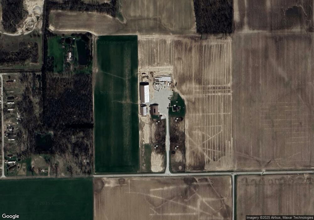
Map
Nearby Homes
- 3959 U S 27
- 0 E Woodstone Ln
- 38 Homestead
- 1528 High St
- 3260 N 200 W
- 1115 Adams St
- 1705 W Monroe St
- 1024 Adams St
- 115 N 11th St
- 618 Adams St
- 109 N 10th St
- 428 Mercer Ave
- 0 W US Hwy 224 Unit 202544637
- 314 N 9th St
- 110 S 4th St
- 221 N 3rd St
- 808 N 2nd St
- 704 Washington St
- 1032 Central Ave
- 1137 Southampton Dr