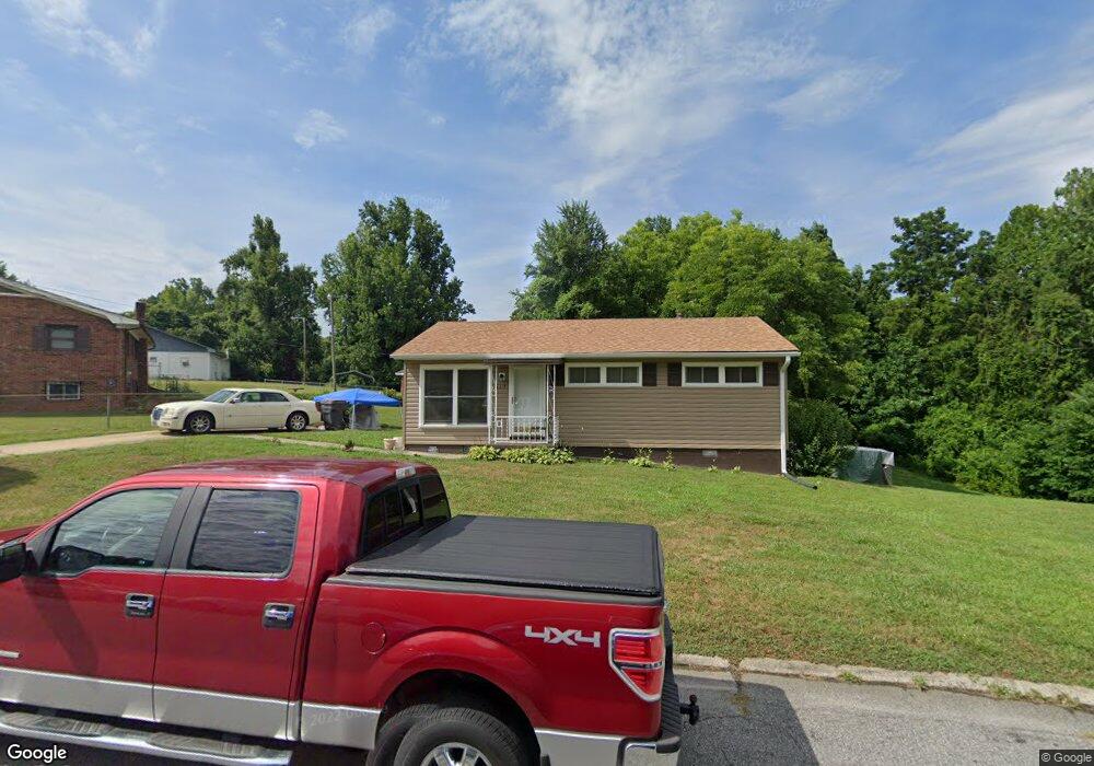
617 Winstead St Reidsville, NC 27320
Estimated Value: $129,000 - $142,000
--
Bed
--
Bath
864
Sq Ft
$156/Sq Ft
Est. Value
About This Home
This home is located at 617 Winstead St, Reidsville, NC 27320 and is currently estimated at $134,576, approximately $155 per square foot. 617 Winstead St is a home located in Rockingham County with nearby schools including Reidsville High School, Moss Street Elementary, and Reidsville Middle School.
Ownership History
Date
Name
Owned For
Owner Type
Purchase Details
Closed on
Apr 15, 2015
Sold by
Combs Emilie M
Bought by
Combs Henry T
Current Estimated Value
Home Financials for this Owner
Home Financials are based on the most recent Mortgage that was taken out on this home.
Original Mortgage
$30,000
Outstanding Balance
$11,109
Interest Rate
3.95%
Mortgage Type
New Conventional
Estimated Equity
$123,467
Purchase Details
Closed on
Dec 21, 2011
Sold by
Mcneill Glenn M
Bought by
Combs Henry T and Combs Emilie M
Create a Home Valuation Report for This Property
The Home Valuation Report is an in-depth analysis detailing your home's value as well as a comparison with similar homes in the area
Home Values in the Area
Average Home Value in this Area
Purchase History
| Date | Buyer | Sale Price | Title Company |
|---|---|---|---|
| Combs Henry T | -- | Attorney | |
| Combs Henry T | $55,000 | None Available |
Source: Public Records
Mortgage History
| Date | Status | Borrower | Loan Amount |
|---|---|---|---|
| Open | Combs Henry T | $30,000 |
Source: Public Records
Tax History Compared to Growth
Tax History
| Year | Tax Paid | Tax Assessment Tax Assessment Total Assessment is a certain percentage of the fair market value that is determined by local assessors to be the total taxable value of land and additions on the property. | Land | Improvement |
|---|---|---|---|---|
| 2025 | $1,216 | $98,017 | $9,604 | $88,413 |
| 2024 | $1,216 | $98,017 | $9,604 | $88,413 |
| 2023 | $1,216 | $57,170 | $8,731 | $48,439 |
| 2022 | $820 | $57,170 | $8,731 | $48,439 |
| 2021 | $820 | $57,170 | $8,731 | $48,439 |
| 2020 | $820 | $57,170 | $8,731 | $48,439 |
| 2019 | $820 | $57,170 | $8,731 | $48,439 |
| 2018 | $744 | $51,818 | $13,368 | $38,450 |
| 2017 | $744 | $51,818 | $13,368 | $38,450 |
| 2015 | $752 | $51,818 | $13,368 | $38,450 |
| 2014 | -- | $51,818 | $13,368 | $38,450 |
Source: Public Records
Map
Nearby Homes
- 403 Pennsylvania Ave
- 101 S Branch St
- 00 Robinson Cir
- 315 Hubbard St
- 312 Church St
- 335 S Branch St
- 137 Ridge St
- 115 N Harris St
- 802 Lawsonville Ave
- 117 Ridge St
- 304 Roanoke St
- 971 Willow St
- 00 E Morehead St
- 511 Barnes St
- 515 Barnes St
- 122 N Main St
- 607 Lancaster Dr
- 112 Field St
- 502 Thomas St
- 612 Thomas St
- 615 Winstead St
- 619 Winstead St
- 625 Winstead St
- 620 Winstead St
- 627 Winstead St
- 618 Winstead St
- 616 Winstead St
- 629 Winstead St
- 614 Winstead St
- 611 Winstead St
- 631 Winstead St
- 610 Winstead St
- 600 Winstead St
- 600 Winstead St
- 600 Winstead St
- 632 Winstead St
- 543 E Morehead St
- 608 Winstead St
- 541 E Morehead St
- 634 Winstead St