Estimated Value: $125,000 - $197,000
3
Beds
2
Baths
1,478
Sq Ft
$111/Sq Ft
Est. Value
About This Home
This home is located at 6170 Range Line Rd, Palms, MI 48465 and is currently estimated at $163,617, approximately $110 per square foot. 6170 Range Line Rd is a home located in Sanilac County with nearby schools including Deckerville Elementary School and Deckerville Community High School.
Ownership History
Date
Name
Owned For
Owner Type
Purchase Details
Closed on
Jun 24, 2010
Sold by
Secretary Of Housing And Urban Developme
Bought by
Onufrak Michael L
Current Estimated Value
Purchase Details
Closed on
Jun 25, 2009
Sold by
Mortgage Electronic Registration Systems
Bought by
Us Department Of Housing & Urban Develop
Purchase Details
Closed on
May 28, 2009
Sold by
Smith Maynard and Smith Laura L
Bought by
Mortgage Electronic Registration Systems
Purchase Details
Closed on
Mar 14, 2008
Sold by
Bobs Specialties Llc
Bought by
Smith Maynard
Purchase Details
Closed on
Sep 1, 2006
Sold by
Christy Robert
Bought by
Smith Maynard and Smith Laura
Purchase Details
Closed on
Oct 26, 2004
Sold by
Wolschleger Bernard
Bought by
Christy Robert D
Purchase Details
Closed on
Oct 2, 1994
Sold by
Vogel Charles and Mary Jane
Bought by
Wolschleger Bernard
Create a Home Valuation Report for This Property
The Home Valuation Report is an in-depth analysis detailing your home's value as well as a comparison with similar homes in the area
Purchase History
| Date | Buyer | Sale Price | Title Company |
|---|---|---|---|
| Onufrak Michael L | $41,501 | -- | |
| Us Department Of Housing & Urban Develop | -- | -- | |
| Mortgage Electronic Registration Systems | $122,821 | -- | |
| Smith Maynard | $125,000 | -- | |
| Smith Maynard | $125,000 | -- | |
| Christy Robert D | $86,000 | -- | |
| Wolschleger Bernard | $13,000 | -- |
Source: Public Records
Tax History
| Year | Tax Paid | Tax Assessment Tax Assessment Total Assessment is a certain percentage of the fair market value that is determined by local assessors to be the total taxable value of land and additions on the property. | Land | Improvement |
|---|---|---|---|---|
| 2025 | $292 | $66,800 | $0 | $0 |
| 2024 | $284 | $62,900 | $0 | $0 |
| 2023 | $564 | $64,300 | $0 | $0 |
| 2022 | $564 | $53,300 | $0 | $0 |
| 2021 | $550 | $49,600 | $0 | $0 |
| 2020 | $537 | $51,200 | $0 | $0 |
| 2019 | $519 | $23,900 | $0 | $0 |
| 2018 | $559 | $30,500 | $0 | $0 |
| 2017 | $547 | $27,300 | $0 | $0 |
| 2016 | $258 | $25,400 | $0 | $0 |
| 2015 | -- | $27,700 | $0 | $0 |
| 2014 | -- | $46,200 | $0 | $0 |
Source: Public Records
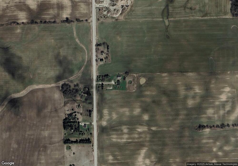
Map
Nearby Homes
- 7268 Ruth Rd
- 0 Farnsworth Rd Unit LotWP001
- 3472 Vincent St
- 2538 Parrott St
- 865 Deckerville Rd
- 4521 Stone Rd
- 5750 Snay Rd
- 6248 Lakeshore Rd
- 6240 Lakeshore Rd N
- 8031 Eighth St
- 5126 Sheldon Rd
- 1506 Shabbona Rd
- 3920 Sheldon Rd
- 4836 Lakeshore Rd
- 00 N Lakeshore Rd
- 1399 Deckerville Rd
- 4308 N Grandview Beach Dr
- 0000 Bellaire Dr
- lots 161 162 163 Bellaire Dr
- 3747 Freiburger Rd
- 6220 Range Line Rd
- 6169 Range Line Rd
- 6131 Range Line Rd
- 6077 Range Line Rd
- 6330 Range Line Rd
- 2039 Russell Rd
- 1975 Russell Rd
- 1875 Russell Rd
- 2325 Russell Rd
- 6446 Lyons Ave
- 6452 Lyons Ave
- 1801 Palms Rd
- 6451 Lyons Ave
- 1750 Palms Rd
- 2304 Palms Rd
- 5144 Railroad Rd
- 2431 Russell Rd
- 6469 Lyons Ave
- 6630 Range Line Rd
- 6475 Lyons Ave
Your Personal Tour Guide
Ask me questions while you tour the home.