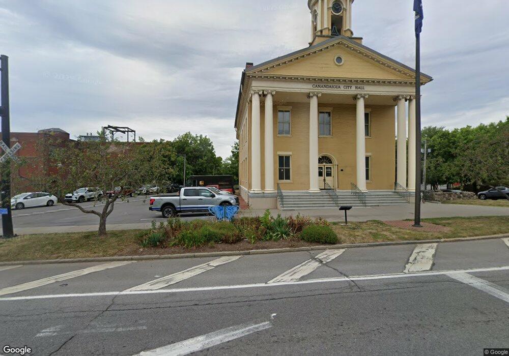
6170 State Route 5 and 20 Canandaigua, NY 14424
Estimated Value: $282,000 - $321,000
3
Beds
2
Baths
1,413
Sq Ft
$212/Sq Ft
Est. Value
About This Home
This home is located at 6170 State Route 5 and 20, Canandaigua, NY 14424 and is currently estimated at $299,280, approximately $211 per square foot. 6170 State Route 5 and 20 is a home located in Ontario County with nearby schools including Bloomfield Elementary School, Bloomfield Middle School, and Bloomfield High School.
Ownership History
Date
Name
Owned For
Owner Type
Purchase Details
Closed on
Jun 6, 2018
Sold by
Drury Richard E
Bought by
Drury Richard E and Drury Judith B
Current Estimated Value
Purchase Details
Closed on
May 20, 2010
Sold by
Haskins Justin
Bought by
Drury Richard
Purchase Details
Closed on
Feb 15, 2008
Sold by
Trustee Clauss Harry E
Bought by
Haskins Justin
Purchase Details
Closed on
Apr 21, 2000
Sold by
Clauss Harry L
Bought by
Trust-Clauss
Create a Home Valuation Report for This Property
The Home Valuation Report is an in-depth analysis detailing your home's value as well as a comparison with similar homes in the area
Home Values in the Area
Average Home Value in this Area
Purchase History
| Date | Buyer | Sale Price | Title Company |
|---|---|---|---|
| Drury Richard E | -- | -- | |
| Drury Richard | $117,000 | Dorothy Ferguson | |
| Haskins Justin | $140,000 | Donald Cheney | |
| Trust-Clauss | -- | Michael Robinson | |
| Clauss Harry L | -- | Michael Robinson |
Source: Public Records
Mortgage History
| Date | Status | Borrower | Loan Amount |
|---|---|---|---|
| Open | Drury Richard E | $26,000 | |
| Open | Drury Richard E | $100,000 |
Source: Public Records
Tax History Compared to Growth
Tax History
| Year | Tax Paid | Tax Assessment Tax Assessment Total Assessment is a certain percentage of the fair market value that is determined by local assessors to be the total taxable value of land and additions on the property. | Land | Improvement |
|---|---|---|---|---|
| 2024 | $5,442 | $227,500 | $60,100 | $167,400 |
| 2023 | $5,550 | $227,500 | $60,100 | $167,400 |
| 2022 | $4,361 | $142,000 | $53,400 | $88,600 |
| 2021 | $4,246 | $142,000 | $53,400 | $88,600 |
| 2020 | $2,781 | $142,000 | $53,400 | $88,600 |
| 2019 | $0 | $142,000 | $53,400 | $88,600 |
| 2018 | $2,063 | $142,000 | $53,400 | $88,600 |
| 2017 | $0 | $138,300 | $48,700 | $89,600 |
| 2016 | $2,092 | $138,300 | $48,700 | $89,600 |
| 2015 | -- | $138,300 | $48,700 | $89,600 |
| 2014 | -- | $138,300 | $48,700 | $89,600 |
Source: Public Records
Map
Nearby Homes
- 6165 State Route 5 and 20
- 6514 State Route 5 and 20
- 3354 Wheeler Station Rd
- 2569 Wheeler Station Rd
- 6511 Fisher Hill Rd
- 5575 (Lot 1) Thomas Rd
- 5635 (Lot 3) Thomas Rd
- 3073 Pierce Brook Trail
- 3085 Pierce Brook Trail
- 3061 Pierce Brook Trail
- 3047 Pierce Brook Trail
- 5246 Overlook Ln
- 3089 Pierce Brook Trail
- 3074 Pierce Brook Trail
- 3071 Pierce Brook Trail
- 2409 (Lot 6) Brickyard Rd
- 5605 (Lot 2) Thomas Rd
- 5775 Yerkes Rd
- 367 West Ave
- 75 Thompson Ln
- 6170 State Route 5 and 20
- 6164 State Route 5 and 20
- 6186 State Route 5 and 20
- 6161 State Route 5 and 20
- 6154 State Route 5 and 20
- 6152 State Route 5 and 20
- 6147 State Route 5 and 20
- 6147 State Route 5 and 20
- 6136 State Route 5 and 20
- 6141 State Route 5 and 20
- 6135 State Route 5 and 20
- 6235 State Route 5 and 20
- 3000 Mccann Rd
- 6129 State Route 5 and 20
- 6124 State Route 5 and 20
- 6125 State Route 5 and 20
- 6115 State Route 5 and 20
- 6105 State Route 5 and 20
- 6265 State Route 5 and 20
- 0 Hopkins Rd Unit R1129978
