Estimated Value: $1,408,000 - $1,433,711
4
Beds
3
Baths
2,485
Sq Ft
$572/Sq Ft
Est. Value
About This Home
This home is located at 61702 Teal Rd, Bend, OR 97702 and is currently estimated at $1,420,856, approximately $571 per square foot. 61702 Teal Rd is a home located in Deschutes County with nearby schools including Silver Rail Elementary School, High Desert Middle School, and Bend Senior High School.
Ownership History
Date
Name
Owned For
Owner Type
Purchase Details
Closed on
Aug 12, 2022
Sold by
Hamilton Brian T
Bought by
Brian Hamilton Revocable Trust
Current Estimated Value
Purchase Details
Closed on
Jul 30, 2008
Sold by
Dash Barrett C and Dash Katherine Lee
Bought by
Hamilton Brian T
Home Financials for this Owner
Home Financials are based on the most recent Mortgage that was taken out on this home.
Original Mortgage
$417,000
Interest Rate
6.41%
Mortgage Type
Purchase Money Mortgage
Purchase Details
Closed on
Mar 17, 2006
Sold by
Dash Barrett C
Bought by
Dash Barrett C and Dash Katherine L
Create a Home Valuation Report for This Property
The Home Valuation Report is an in-depth analysis detailing your home's value as well as a comparison with similar homes in the area
Purchase History
| Date | Buyer | Sale Price | Title Company |
|---|---|---|---|
| Brian Hamilton Revocable Trust | -- | None Listed On Document | |
| Hamilton Brian T | $700,000 | Amerititle | |
| Dash Barrett C | -- | None Available |
Source: Public Records
Mortgage History
| Date | Status | Borrower | Loan Amount |
|---|---|---|---|
| Previous Owner | Hamilton Brian T | $417,000 |
Source: Public Records
Tax History
| Year | Tax Paid | Tax Assessment Tax Assessment Total Assessment is a certain percentage of the fair market value that is determined by local assessors to be the total taxable value of land and additions on the property. | Land | Improvement |
|---|---|---|---|---|
| 2025 | $5,995 | $400,214 | -- | -- |
| 2024 | $5,750 | $389,524 | -- | -- |
| 2023 | $5,414 | $378,394 | $0 | $0 |
| 2022 | $4,995 | $357,104 | $0 | $0 |
| 2021 | $5,029 | $346,924 | $0 | $0 |
| 2020 | $4,751 | $346,924 | $0 | $0 |
| 2019 | $4,620 | $337,034 | $0 | $0 |
| 2018 | $4,046 | $295,174 | $0 | $0 |
| 2017 | $3,942 | $286,794 | $0 | $0 |
| 2016 | $3,748 | $278,661 | $0 | $0 |
| 2015 | $3,646 | $270,760 | $0 | $0 |
| 2014 | $3,531 | $263,060 | $0 | $0 |
Source: Public Records
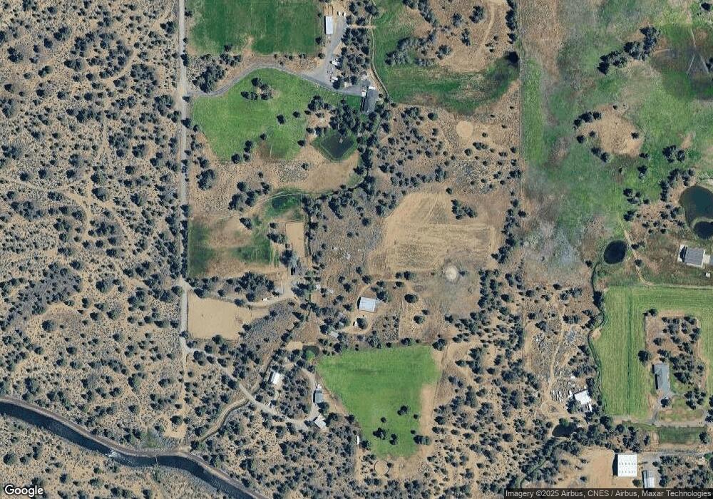
Map
Nearby Homes
- 61445 Gosney Rd
- 0 Highway 20 Unit 296721434
- 62262 Chickadee Ln
- 21925 Bear Creek Rd
- 60995 Ward Rd
- 62111 Cody Rd
- 61747 Somerset Dr
- 62370 Wallace Rd
- 22311 Mcardle Rd
- 60990 Jennings Rd
- 22350 Erickson Rd
- 60515 Ward Rd
- 21710 Mcgilvray Rd
- 61073 NE Unity Place
- 61059 NE Give Place
- 21549 NE Gather Place
- 21557 NE Gather Place Unit 72
- 21557 NE Gather Place
- 57 NE Give Place
- 21553 NE Gather Place Unit 71
Your Personal Tour Guide
Ask me questions while you tour the home.