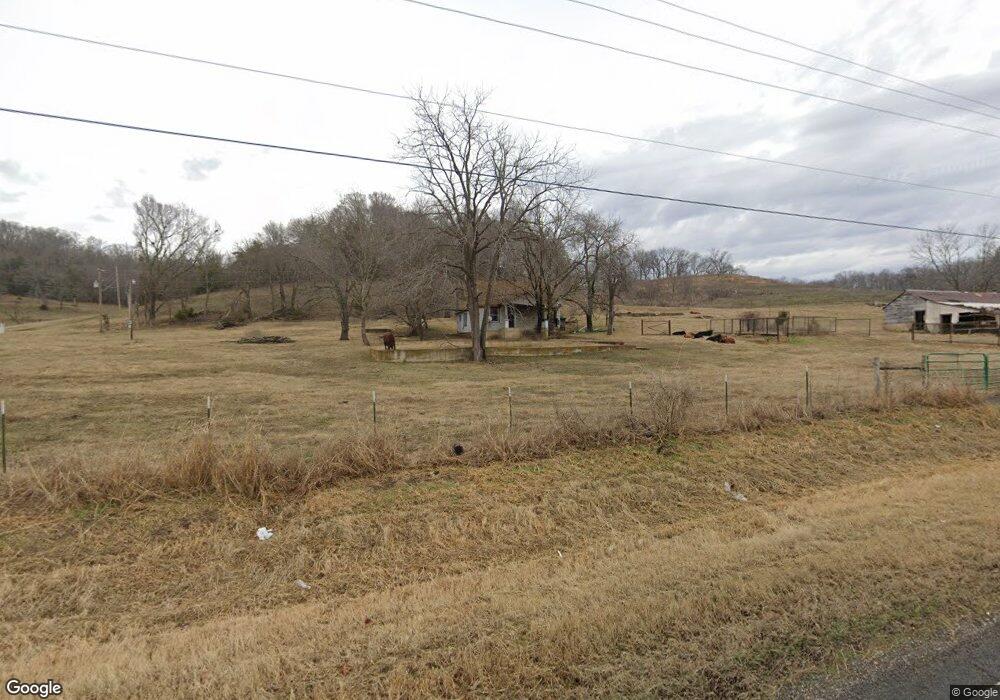
6171 N Highway 10 Tahlequah, OK 74464
Estimated Value: $91,000 - $168,000
2
Beds
1
Bath
1,008
Sq Ft
$122/Sq Ft
Est. Value
About This Home
This home is located at 6171 N Highway 10, Tahlequah, OK 74464 and is currently estimated at $123,098, approximately $122 per square foot. 6171 N Highway 10 is a home located in Cherokee County with nearby schools including Kansas Elementary School, Kansas Middle School, and Kansas High School.
Ownership History
Date
Name
Owned For
Owner Type
Purchase Details
Closed on
Jan 24, 2014
Sold by
Fannie Mae
Bought by
Hood Tommy D and Hood Deidra D
Current Estimated Value
Purchase Details
Closed on
Dec 2, 2013
Sold by
Warren Bobbi and Doe John
Bought by
Fannie Mae and Federal National Mortgage Association
Purchase Details
Closed on
Feb 24, 2006
Sold by
Tyer Katherine
Bought by
Warren Bobbie
Home Financials for this Owner
Home Financials are based on the most recent Mortgage that was taken out on this home.
Original Mortgage
$57,000
Interest Rate
6.09%
Mortgage Type
Purchase Money Mortgage
Create a Home Valuation Report for This Property
The Home Valuation Report is an in-depth analysis detailing your home's value as well as a comparison with similar homes in the area
Home Values in the Area
Average Home Value in this Area
Purchase History
| Date | Buyer | Sale Price | Title Company |
|---|---|---|---|
| Hood Tommy D | $38,000 | Firsttitle & Abstract Svcs I | |
| Fannie Mae | $49,193 | None Available | |
| Warren Bobbie | $57,000 | Nations Title |
Source: Public Records
Mortgage History
| Date | Status | Borrower | Loan Amount |
|---|---|---|---|
| Previous Owner | Warren Bobbie | $57,000 |
Source: Public Records
Tax History Compared to Growth
Tax History
| Year | Tax Paid | Tax Assessment Tax Assessment Total Assessment is a certain percentage of the fair market value that is determined by local assessors to be the total taxable value of land and additions on the property. | Land | Improvement |
|---|---|---|---|---|
| 2025 | $341 | $3,663 | $2,574 | $1,089 |
| 2024 | $341 | $3,489 | $2,452 | $1,037 |
| 2023 | $341 | $3,323 | $2,452 | $871 |
| 2022 | $314 | $3,165 | $2,452 | $713 |
| 2021 | $317 | $3,165 | $2,452 | $713 |
| 2020 | $320 | $3,165 | $2,452 | $713 |
| 2019 | $325 | $3,165 | $2,452 | $713 |
| 2018 | $325 | $3,165 | $2,452 | $713 |
| 2017 | $402 | $3,852 | $1,855 | $1,997 |
| 2016 | $385 | $3,669 | $1,672 | $1,997 |
| 2015 | $412 | $4,213 | $2,452 | $1,761 |
| 2014 | $412 | $4,213 | $2,452 | $1,761 |
Source: Public Records
Map
Nearby Homes
- Tbd
- TBD E 0635 Rd
- 0000 E 0635 Rd Unit Proctor OK 74464
- 0000 E 0635 Rd
- 4395 N Oaks Rd
- 0 E Colburn Rd
- 462201 E Colburn Rd
- 3163 E Ficken Ridge Rd
- 27855 E Ficken Ridge Rd
- 6200 N Starr Ridge Rd
- 0 Lame Deer Ridge Rd
- 22449 E 664 Rd
- Wiley Ridge Rd
- Wiley Ridge Rd
- Wiley Ridge Rd
- Wiley Ridge Rd
- 462436 Riverside Dr
- Black Fox Hallow Rd
- 8119 N 544 Rd
- 4422 Highway 82a
- 6171 N Highway 10
- 6111 Highway 10
- 6110 N Highway 10
- 6110 N Highway 10
- 6035 N Highway 10
- 6035 N Highway 10
- 6317 N Highway 10
- 5938 Highway 10
- 6394 N Highway 10
- 6109 Highway 10
- 0 Old Highway 10
- 6569 N Highway 10
- 6569 N Highway 10
- 5747 N Highway 10
- 6567 Highway 10
- 5704 Highway 10
- 6567 N Highway 10
- 6825 Highway 10
- 6661 N Highway 10