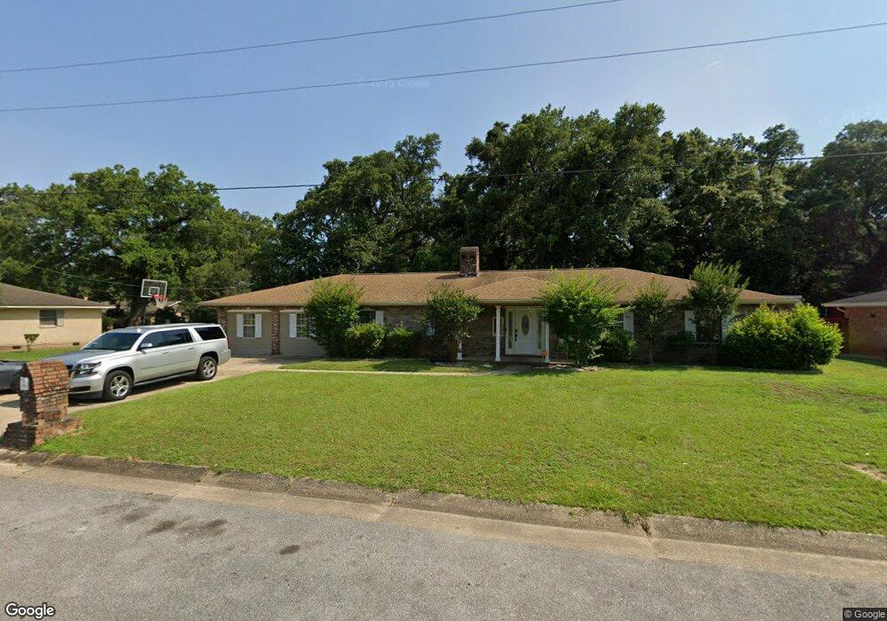
6171 Ringold Cir Pensacola, FL 32503
Estimated Value: $220,000 - $333,000
--
Bed
2
Baths
3,100
Sq Ft
$93/Sq Ft
Est. Value
About This Home
This home is located at 6171 Ringold Cir, Pensacola, FL 32503 and is currently estimated at $287,149, approximately $92 per square foot. 6171 Ringold Cir is a home located in Escambia County with nearby schools including Brentwood Elementary School, Ferry Pass Middle School, and Booker T. Washington High School.
Ownership History
Date
Name
Owned For
Owner Type
Purchase Details
Closed on
Oct 11, 2024
Sold by
Rembert Chreyl and Rembert J O
Bought by
Rembert Cheryl and Rembert Chreyl
Current Estimated Value
Purchase Details
Closed on
Mar 30, 2000
Sold by
Beneficial Fl Inc
Bought by
Rembert O J and Rembert Chreyl
Purchase Details
Closed on
Feb 7, 1997
Sold by
Harper John E and Harper Roberta
Bought by
Hawkins Ronald D
Home Financials for this Owner
Home Financials are based on the most recent Mortgage that was taken out on this home.
Original Mortgage
$30,000
Interest Rate
7.69%
Create a Home Valuation Report for This Property
The Home Valuation Report is an in-depth analysis detailing your home's value as well as a comparison with similar homes in the area
Home Values in the Area
Average Home Value in this Area
Purchase History
| Date | Buyer | Sale Price | Title Company |
|---|---|---|---|
| Rembert Cheryl | $100 | None Listed On Document | |
| Rembert Cheryl | $100 | None Listed On Document | |
| Rembert O J | $69,000 | -- | |
| Hawkins Ronald D | $88,900 | -- |
Source: Public Records
Mortgage History
| Date | Status | Borrower | Loan Amount |
|---|---|---|---|
| Previous Owner | Hawkins Ronald D | $30,000 |
Source: Public Records
Tax History Compared to Growth
Tax History
| Year | Tax Paid | Tax Assessment Tax Assessment Total Assessment is a certain percentage of the fair market value that is determined by local assessors to be the total taxable value of land and additions on the property. | Land | Improvement |
|---|---|---|---|---|
| 2024 | $1,334 | $135,404 | -- | -- |
| 2023 | $1,334 | $131,461 | $0 | $0 |
| 2022 | $1,297 | $127,633 | $0 | $0 |
| 2021 | $1,181 | $116,033 | $0 | $0 |
| 2020 | $1,151 | $114,431 | $0 | $0 |
| 2019 | $1,126 | $111,859 | $0 | $0 |
| 2018 | $1,121 | $109,774 | $0 | $0 |
| 2017 | $1,115 | $107,517 | $0 | $0 |
| 2016 | $1,103 | $105,306 | $0 | $0 |
| 2015 | $981 | $97,484 | $0 | $0 |
| 2014 | $970 | $96,711 | $0 | $0 |
Source: Public Records
Map
Nearby Homes
- 406 Hancock Ln
- 272 Saint Patrick Ave
- 396 Hancock Ln
- 679 Shiloh Dr
- 6108 Walton St
- 6406 Antietam Dr
- 6410 White Oak Dr
- 5910 Duchess Rd
- 121 Airport Blvd
- 125 Memory Ln
- 117 Monarch Ln
- 5921 Count Rd
- 105 Monarch Ln
- 118 Czar Ln
- 103 Airport Blvd
- 441 Shiloh Dr
- 6702 White Oak Dr
- 40 Arthur Ln
- 601 E Burgess Rd Unit K11
- 601 E Burgess Rd Unit C6
- 6175 Ringold Cir
- 5804 Saint Benedict Ave
- 5817 Ringold Dr
- 5802 Saint Benedict Ave
- 5821 Ringold Dr
- 5806 Saint Benedict Ave
- 6180 Ringold Cir
- 5815 Ringold Dr
- 0 Saint Benedict Ave
- 5825 Ringold Dr
- 6179 Ringold Cir
- 5818 Ringold Dr
- 0000 Ferguson Dr
- 5803 Saint Benedict Ave
- 5800 Saint Benedict Ave
- 5801 Saint Benedict Ave
- 5808 Saint Benedict Ave
- 6190 Ringold Cir
- 5811 Ringold Dr
- 5816 Ringgold Dr