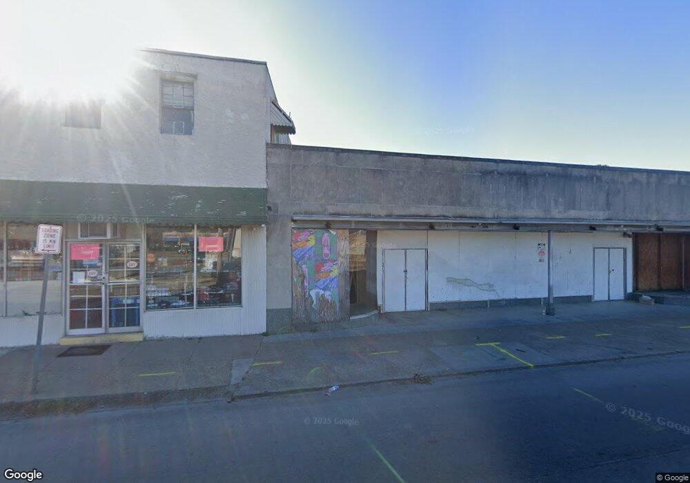
6171 Sewells Point Rd Norfolk, VA 23513
Norfolk Garden NeighborhoodEstimated Value: $573,150
--
Bed
--
Bath
10,588
Sq Ft
$54/Sq Ft
Est. Value
About This Home
This home is located at 6171 Sewells Point Rd, Norfolk, VA 23513 and is currently estimated at $573,150, approximately $54 per square foot. 6171 Sewells Point Rd is a home located in Norfolk City with nearby schools including Norview Elementary School, Norview Middle School, and Norview High School.
Ownership History
Date
Name
Owned For
Owner Type
Purchase Details
Closed on
May 22, 2024
Sold by
Salsbury-Sewells Pt Development Partners
Bought by
Legum Holdings Llc
Current Estimated Value
Home Financials for this Owner
Home Financials are based on the most recent Mortgage that was taken out on this home.
Original Mortgage
$778,000
Outstanding Balance
$47,888
Interest Rate
6.88%
Mortgage Type
Construction
Estimated Equity
$525,262
Purchase Details
Closed on
Dec 19, 2019
Sold by
The John William Pope Foundation
Bought by
Salsbury & Sewells Pt Development Partners
Home Financials for this Owner
Home Financials are based on the most recent Mortgage that was taken out on this home.
Original Mortgage
$100,000
Interest Rate
3.6%
Mortgage Type
Commercial
Purchase Details
Closed on
Dec 14, 2006
Sold by
Pope James Arthur and Pope Amanda Jayce
Bought by
Pope James Arthur and Pope Amanda Joyce
Create a Home Valuation Report for This Property
The Home Valuation Report is an in-depth analysis detailing your home's value as well as a comparison with similar homes in the area
Home Values in the Area
Average Home Value in this Area
Purchase History
| Date | Buyer | Sale Price | Title Company |
|---|---|---|---|
| Legum Holdings Llc | -- | None Listed On Document | |
| Salsbury & Sewells Pt Development Partners | $375,000 | Priority Title & Escrow Llc | |
| Pope James Arthur | -- | -- |
Source: Public Records
Mortgage History
| Date | Status | Borrower | Loan Amount |
|---|---|---|---|
| Open | Legum Holdings Llc | $778,000 | |
| Previous Owner | Salsbury & Sewells Pt Development Partners | $100,000 |
Source: Public Records
Tax History Compared to Growth
Tax History
| Year | Tax Paid | Tax Assessment Tax Assessment Total Assessment is a certain percentage of the fair market value that is determined by local assessors to be the total taxable value of land and additions on the property. | Land | Improvement |
|---|---|---|---|---|
| 2025 | $4,709 | $376,700 | $79,700 | $297,000 |
| 2024 | $4,709 | $376,700 | $79,700 | $297,000 |
| 2023 | $4,626 | $370,100 | $79,700 | $290,400 |
| 2022 | $4,571 | $365,700 | $79,700 | $286,000 |
| 2021 | $4,571 | $365,700 | $79,700 | $286,000 |
| 2020 | $4,571 | $365,700 | $79,700 | $286,000 |
| 2019 | $3,915 | $313,200 | $79,700 | $233,500 |
| 2018 | $3,915 | $313,200 | $79,700 | $233,500 |
| 2017 | $3,602 | $313,200 | $79,700 | $233,500 |
| 2016 | $3,602 | $407,400 | $79,700 | $327,700 |
| 2015 | $5,178 | $407,400 | $79,700 | $327,700 |
| 2014 | $5,178 | $407,400 | $79,700 | $327,700 |
Source: Public Records
Map
Nearby Homes
- 1085 Hugo St
- 6245 Alexander St
- 1229 Strand St
- 6262 Alexander St
- 1043 Ivaloo St
- 3617 Sharpley Ave
- 3609 Sewells Point Rd
- 976 Hugo St
- 1200 Underwood Ave
- 3814 Lenoir Cir
- 1203 Curie Ct
- 3711 Abingdon Cir
- 1221 Curie Ct
- 3854 Nansemond Cir
- 6423 Faraday Ct
- 6416 Palem Rd
- 961 Hugo St
- 3517 Essex Cir
- 6356 Devonshire Rd
- 4569 Hampshire Ave
- 1136 Hugo St
- 1129 Green St
- 1140 Hugo St
- 6201 Sewells Point Rd
- 1132 Hugo St
- 1123 Green St
- 1128 Hugo St
- 1122 Green St
- 1122 Hugo St Unit B
- 1120 Hugo St
- 6145 Sewells Point Rd
- 6135 Chesapeake Blvd
- 1117 Green St
- 6200 Sewells Point Rd
- 6158 Sewells Point Rd
- 6204 Sewells Point Rd
- 1113 Green St
- 1154 Hugo St
- 1116 Hugo St
- 1114 Hugo St