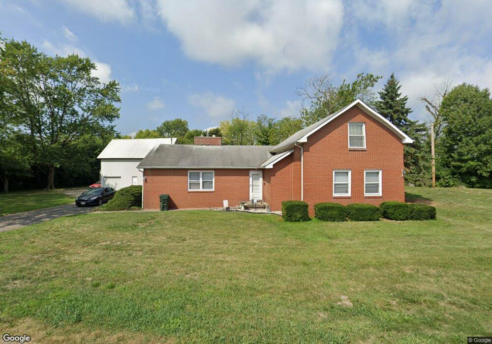
6173 Shook Rd Lockbourne, OH 43137
Estimated Value: $276,000 - $429,000
3
Beds
1
Bath
1,962
Sq Ft
$187/Sq Ft
Est. Value
About This Home
This home is located at 6173 Shook Rd, Lockbourne, OH 43137 and is currently estimated at $366,018, approximately $186 per square foot. 6173 Shook Rd is a home located in Franklin County with nearby schools including Hamilton Elementary School, Hamilton Intermediate School, and Hamilton Middle School.
Ownership History
Date
Name
Owned For
Owner Type
Purchase Details
Closed on
Aug 16, 2017
Sold by
Wood David S and Wood Victoria L
Bought by
Woods David S
Current Estimated Value
Home Financials for this Owner
Home Financials are based on the most recent Mortgage that was taken out on this home.
Original Mortgage
$94,800
Outstanding Balance
$78,342
Interest Rate
3.96%
Mortgage Type
New Conventional
Estimated Equity
$287,676
Purchase Details
Closed on
Nov 5, 2013
Sold by
Sloane Jody E and Sloane Sean P
Bought by
Sunshine & Smooch Llc
Purchase Details
Closed on
Oct 17, 2013
Sold by
Dill Jac T and James E Dill Trust
Bought by
Sloane Jody E and Dill Matthew J
Purchase Details
Closed on
Feb 20, 1997
Sold by
Dorothy Dluff
Bought by
Woods David S and Woods Victoria L
Home Financials for this Owner
Home Financials are based on the most recent Mortgage that was taken out on this home.
Original Mortgage
$126,585
Interest Rate
7.92%
Mortgage Type
FHA
Create a Home Valuation Report for This Property
The Home Valuation Report is an in-depth analysis detailing your home's value as well as a comparison with similar homes in the area
Home Values in the Area
Average Home Value in this Area
Purchase History
| Date | Buyer | Sale Price | Title Company |
|---|---|---|---|
| Woods David S | -- | Elite Land Title | |
| Sunshine & Smooch Llc | -- | None Available | |
| Sloane Jody E | -- | None Available | |
| Woods David S | $128,000 | -- |
Source: Public Records
Mortgage History
| Date | Status | Borrower | Loan Amount |
|---|---|---|---|
| Open | Woods David S | $94,800 | |
| Previous Owner | Woods David S | $126,585 |
Source: Public Records
Tax History
| Year | Tax Paid | Tax Assessment Tax Assessment Total Assessment is a certain percentage of the fair market value that is determined by local assessors to be the total taxable value of land and additions on the property. | Land | Improvement |
|---|---|---|---|---|
| 2025 | $5,443 | $100,240 | $32,690 | $67,550 |
| 2024 | $5,443 | $100,240 | $32,690 | $67,550 |
| 2023 | $5,377 | $100,240 | $32,690 | $67,550 |
| 2022 | $4,344 | $65,910 | $19,600 | $46,310 |
| 2021 | $4,353 | $65,910 | $19,600 | $46,310 |
| 2020 | $4,360 | $65,910 | $19,600 | $46,310 |
| 2019 | $4,275 | $54,990 | $16,350 | $38,640 |
| 2018 | $4,294 | $54,990 | $16,350 | $38,640 |
| 2017 | $4,103 | $54,990 | $16,350 | $38,640 |
Source: Public Records
Map
Nearby Homes
- 129 Buckeye Cir Unit B129
- 124 Buckeye Cir Unit B124
- 134 Buckeye Cir Unit B132
- 219 Buckeye Cir Unit B129
- 156 Buckeye Cir
- 3357 London Groveport Rd
- 4 Oak Rd Unit 4
- 2690 London Groveport Rd
- 1359 Acuff Ave Unit Lot 115
- 1315 Webb Dr Unit Lot 93
- 1307 Webb Dr Unit Lot 92
- 1291 Webb Dr Unit Lot 90
- 5076 Ranger Dr Unit Lot 100
- 4801 Obetz Reese Rd
- 2027 Reese Ave
- 1987 Reese Ave
- 1962 Reese Ave
- 5220 Edgeview Rd
- 5060 Ranger Dr Unit Lot 87
- 3461 Rohr Rd
- 198 Shook Rd
- 6139 Shook Rd
- 2185 Rohr Rd
- 2239 Rohr Rd
- 2271 Rohr Rd
- 2255 Rohr Rd
- 2101 Rohr Rd
- 2391 Resor Rd
- 2297 Rohr Rd
- 6105 Alum Creek Dr
- 6431 Alum Creek Dr
- 2453 Aloha Dr
- 6437 Alum Creek Dr
- 2434 Aloha Dr
- 2465 Spiegel Dr
- 0 Spiegel Dr
- 6449 Alum Creek Dr
- 2448 Aloha Dr
- 6463 Alum Creek Dr
- 6477 Alum Creek Dr
Your Personal Tour Guide
Ask me questions while you tour the home.