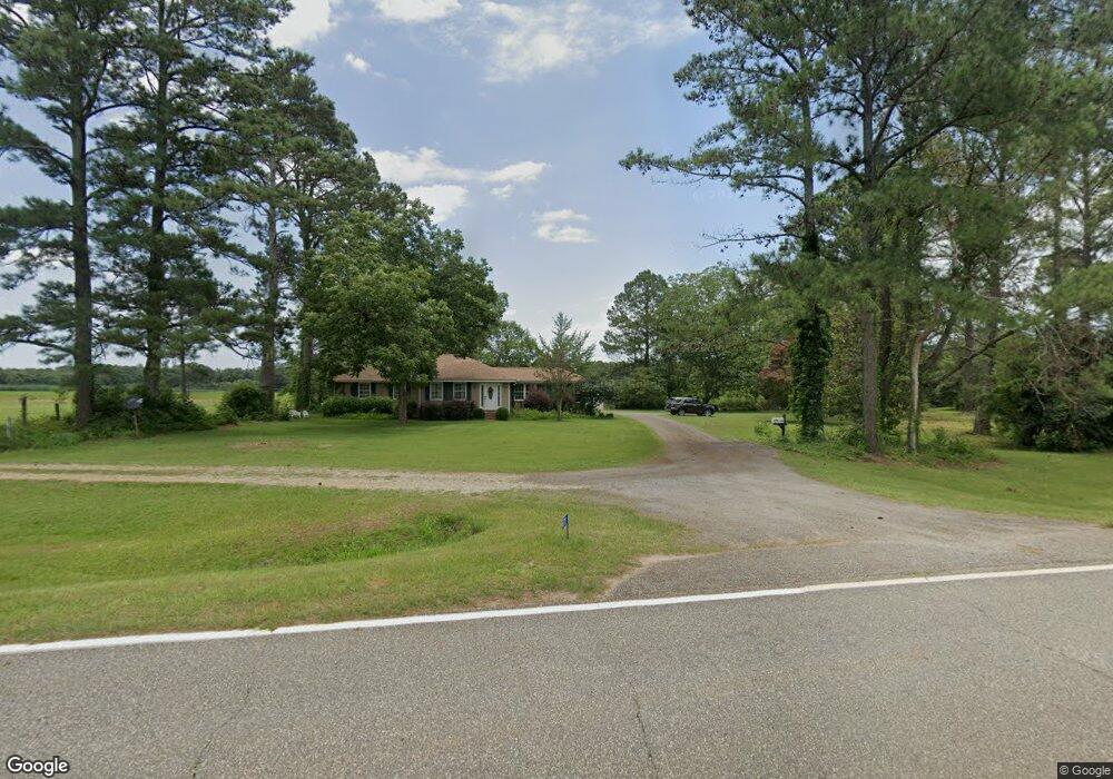
6175 Doverel Hwy Dawson, GA 39842
Estimated Value: $314,000
5
Beds
5
Baths
3,989
Sq Ft
$79/Sq Ft
Est. Value
About This Home
This home is located at 6175 Doverel Hwy, Dawson, GA 39842 and is currently estimated at $314,000, approximately $78 per square foot. 6175 Doverel Hwy is a home located in Terrell County with nearby schools including Cooper-Carver Elementary School, Terrell Middle School, and Terrell High School.
Ownership History
Date
Name
Owned For
Owner Type
Purchase Details
Closed on
Oct 6, 2015
Sold by
Stevenson Charles E
Bought by
Stevenson Charles E and Stevenson Sherry N
Current Estimated Value
Purchase Details
Closed on
Dec 16, 2010
Sold by
Jacobs Roy G
Bought by
Stevenson Charles E
Purchase Details
Closed on
Jan 14, 2000
Sold by
Lee Frank
Bought by
Jacobs Roy G and Jacobs Lynda
Create a Home Valuation Report for This Property
The Home Valuation Report is an in-depth analysis detailing your home's value as well as a comparison with similar homes in the area
Home Values in the Area
Average Home Value in this Area
Purchase History
| Date | Buyer | Sale Price | Title Company |
|---|---|---|---|
| Stevenson Charles E | $125,000 | -- | |
| Stevenson Charles E | $130,000 | -- | |
| Stevenson Charles E | $460,000 | -- | |
| Jacobs Roy G | $175,000 | -- |
Source: Public Records
Tax History Compared to Growth
Tax History
| Year | Tax Paid | Tax Assessment Tax Assessment Total Assessment is a certain percentage of the fair market value that is determined by local assessors to be the total taxable value of land and additions on the property. | Land | Improvement |
|---|---|---|---|---|
| 2024 | $3,687 | $119,043 | $110,739 | $8,304 |
| 2023 | $3,688 | $119,043 | $110,739 | $8,304 |
| 2022 | $3,688 | $119,043 | $110,739 | $8,304 |
| 2021 | $3,688 | $119,043 | $110,739 | $8,304 |
| 2020 | $3,688 | $119,043 | $110,739 | $8,304 |
| 2019 | $3,569 | $119,043 | $110,739 | $8,304 |
| 2018 | $3,569 | $119,043 | $110,739 | $8,304 |
| 2017 | $3,569 | $119,043 | $110,739 | $8,304 |
| 2016 | $4,525 | $152,920 | $103,095 | $49,825 |
| 2015 | -- | $157,915 | $110,739 | $47,176 |
| 2014 | -- | $157,915 | $110,739 | $47,176 |
| 2013 | -- | $157,915 | $110,739 | $47,176 |
Source: Public Records
Map
Nearby Homes
- 3418 New Hope Trail
- 4560 Graves Hwy
- 00 Hwy 41
- 13XX Graves Hwy
- 0 William Avera Rd
- 33895 Ga-45
- 6 E Railroad St
- 3109 Calhoun St
- 48 Cheney St
- 0 Carver St
- 0 Cox Rd
- 229 7th Ave NW
- 439 Cherry St SE
- 411 E Lee St
- 707 Johnson St SE
- 361/552 NW Tenth Ave
- Cordrays Mill S
- 1266 Georgia Ave SE
- 527 Orange St NE
- 0 Elladale Dr SE Unit 18754943