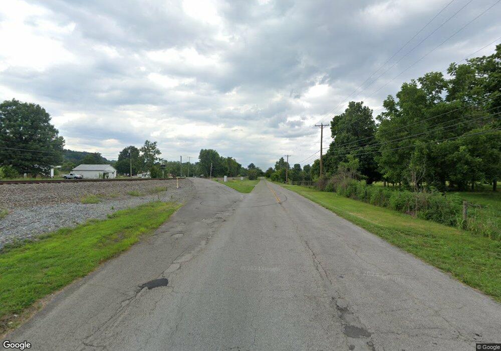
6175 Ky Highway 2141 Hustonville, KY 40437
Estimated Value: $206,000 - $238,000
--
Bed
--
Bath
--
Sq Ft
0.98
Acres
About This Home
This home is located at 6175 Ky Highway 2141, Hustonville, KY 40437 and is currently estimated at $216,709. 6175 Ky Highway 2141 is a home located in Lincoln County with nearby schools including Lincoln County High School.
Ownership History
Date
Name
Owned For
Owner Type
Purchase Details
Closed on
Mar 19, 2013
Sold by
King Robert H and King Sudelle M
Bought by
Sallee Joshua Scott and Sallee Heather N
Current Estimated Value
Home Financials for this Owner
Home Financials are based on the most recent Mortgage that was taken out on this home.
Original Mortgage
$114,000
Outstanding Balance
$80,556
Interest Rate
3.57%
Mortgage Type
VA
Estimated Equity
$136,153
Purchase Details
Closed on
Jan 29, 2007
Sold by
Deutsche Bank National Trust Co
Bought by
Dean John E and Dean Martha J
Create a Home Valuation Report for This Property
The Home Valuation Report is an in-depth analysis detailing your home's value as well as a comparison with similar homes in the area
Home Values in the Area
Average Home Value in this Area
Purchase History
| Date | Buyer | Sale Price | Title Company |
|---|---|---|---|
| Sallee Joshua Scott | $114,000 | None Available | |
| Dean John E | $83,000 | None Available |
Source: Public Records
Mortgage History
| Date | Status | Borrower | Loan Amount |
|---|---|---|---|
| Open | Sallee Joshua Scott | $114,000 |
Source: Public Records
Tax History Compared to Growth
Tax History
| Year | Tax Paid | Tax Assessment Tax Assessment Total Assessment is a certain percentage of the fair market value that is determined by local assessors to be the total taxable value of land and additions on the property. | Land | Improvement |
|---|---|---|---|---|
| 2025 | $1,498 | $146,000 | $15,000 | $131,000 |
| 2024 | $1,498 | $146,000 | $146,000 | $0 |
| 2023 | $1,514 | $146,000 | $146,000 | $0 |
| 2022 | $1,517 | $146,000 | $146,000 | $0 |
| 2021 | $1,418 | $133,400 | $0 | $0 |
| 2020 | $1,450 | $133,400 | $0 | $0 |
| 2019 | $1,465 | $133,400 | $0 | $0 |
| 2018 | $1,450 | $133,400 | $0 | $0 |
| 2017 | $1,228 | $115,000 | $0 | $0 |
| 2016 | $1,228 | $115,000 | $0 | $0 |
| 2015 | $437 | $115,000 | $0 | $0 |
| 2012 | $437 | $83,000 | $7,000 | $76,000 |
Source: Public Records
Map
Nearby Homes
- 6575 Kentucky 2141
- 000 US Highway 127
- 6920 Kentucky Highway 2141
- 316 Austin Dr
- 198 Amber Ln
- 155 Amber Ln
- 85 Amber Ln
- Lots #16 & #17 Dallas Dr
- 104 Amber Ln
- 378 Dallas Dr
- 4510 Highway 2141
- 1020 Jeffries Ln
- 171 Elm Loop
- 342 Masters Ct
- 460 Black Pike
- 222 Elm Loop
- 168 Master Ct
- 20 Beth Ln
- 66 Beth Ln
- 103 Austin Dr
- 5900 Kentucky 2141
- 6215 Ky Highway 2141
- 6205 Ky Highway 2141
- 6040 Ky Highway 2141
- 25 Thomas Ln
- 95 Greg Dr
- 68 Greg Dr
- 6235 Ky Highway 2141
- 120 Greg Dr
- 177 Greg Dr
- 147 Greg Dr
- 75 Greg Dr
- 172 Greg Dr
- 90 Greg Dr
- 6249 Ky Highway 2141
- 125 Greg Dr
- 90 Greg Dr
- 4155 State Highway 2141
- 155 Thomas Ln
- 6252 Ky Highway 2141
